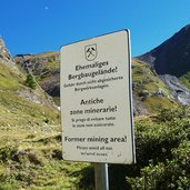
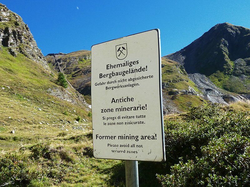
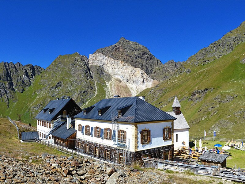
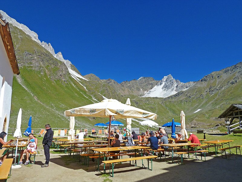
Hidden in the mountains of the back Val Passiria, at 2,355 m a.s.l., the former mine is located at the Monteneve (Schneeberg). Today the mine at San Martino is not operating anymore, the buildings became a mountain hut and museum
Image gallery: Walking tour to S. Martino at the Monteneve
-
-
1502552283_D-6859-wanderwege-wegweiser-bei-schneeberger-bruecke-rabenstein-passeier.jpg
-
1502552284_D-7393-weg-nr-31-bei-foessalm-hinterpasseier.jpg
-
1502552284_D-7373-aussicht-foessalm-richtung-untere-gostalm-bei-rabenstein-hinterpasseier.jpg
-
1502552283_D-6864-wanderweg-nr-31-rabenstein-passeiertal-nach-schneeberg.jpg
-
1502552283_D-6881-wanderweg-nr-31-rabenstein-passeiertal-nach-schneeberg.jpg
-
1502552284_D-6985-schneeberg-wanderweg-und-sicht-zur-guertelwand.jpg
-
1502552284_D-7003-herbstlandschaft-bei-seemoos-schneeberg.jpg
-
1502552284_D-7074-schneeberg-see.jpg
-
1502552284_D-7091-aufstieg-vom-schneebergsee-bis-st-martin.jpg
-
1502552284_D-7131-st-martin-schneeberg-schutzhuette.jpg
-
1502552284_D-7238-st-martin-schneeberg-schutzhaus.jpg
-
1502552284_D-7245-st-martin-schneeberg-schutzhaus-kapelle.jpg
-
1502552284_D-7248-st-martin-schneeberg-schutzhaus.jpg
-
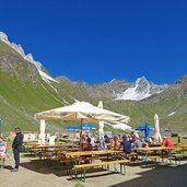
1502552284_D-7249-st-martin-schneeberg-schutzhaus-terrasse.jpg
-
1502552284_D-7267-bergwerk-museum-schneeberg-st-martin.jpg
-
1502552284_D-7269-bergwerk-museum-schneeberg-st-martin-erlebnisbergwerk.jpg
-
1502552284_D-7276-st-martins-stollen-erlebnisbergwerk-schneeberg.jpg
-
1502552284_D-7307-moarer-weissen-schneeberg-und-wanderer.jpg
-
1502552284_D-7294-wanderer-schneeberg-dahinter-guertelwand.jpg
-
1502552284_D-7347-schneeberger-bach-wege.jpg
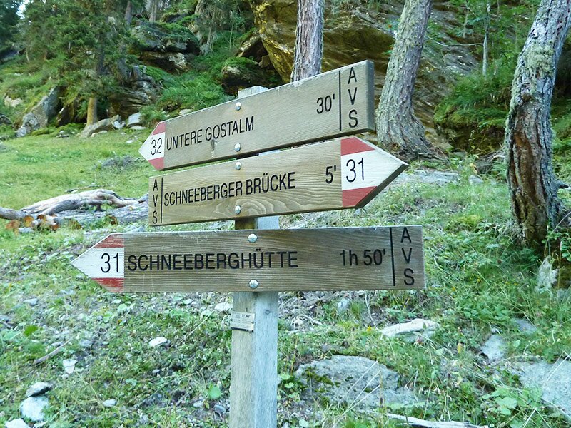
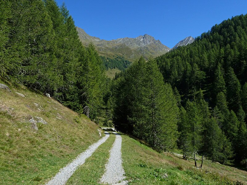
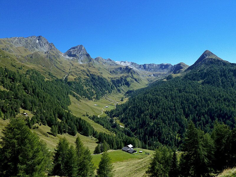
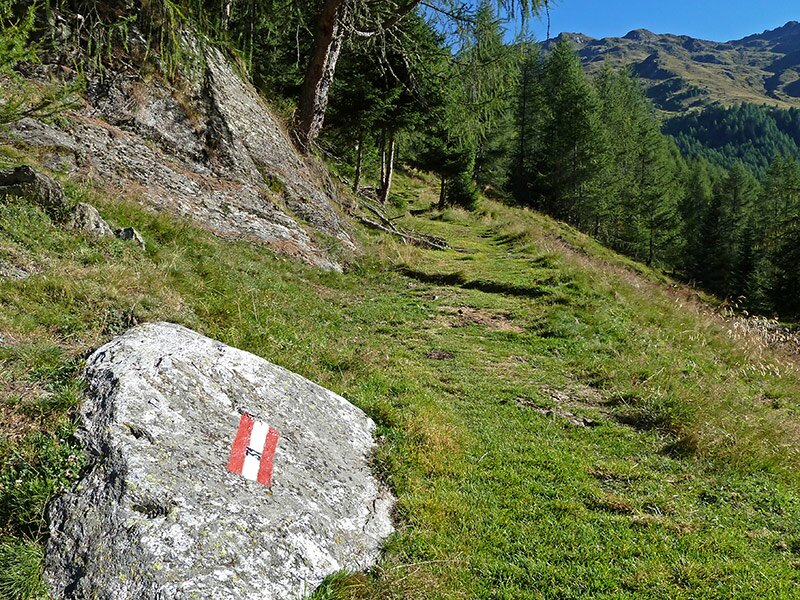
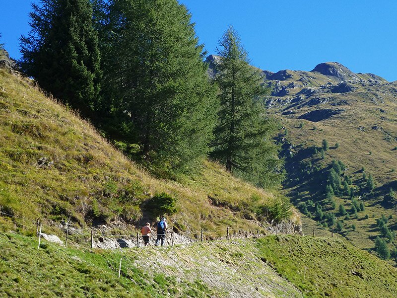
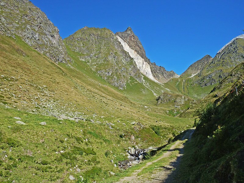
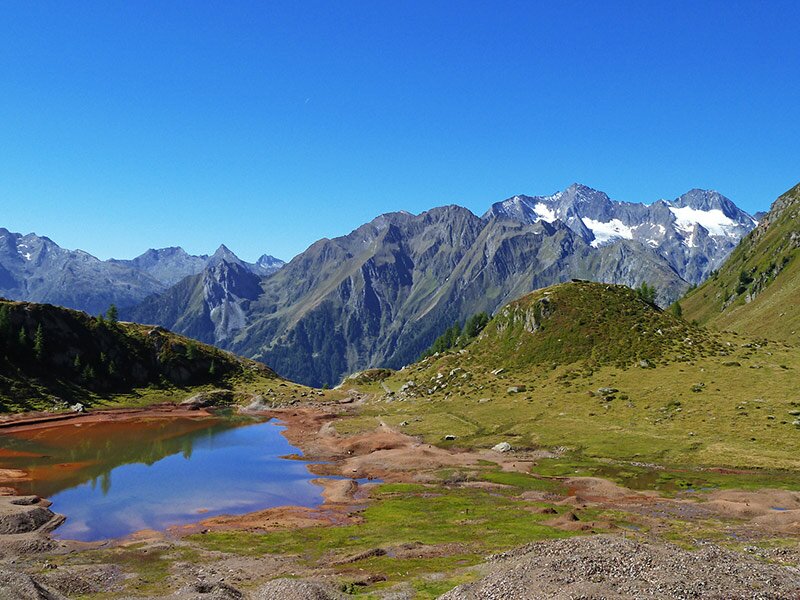
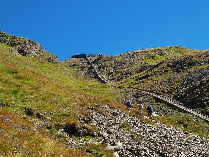
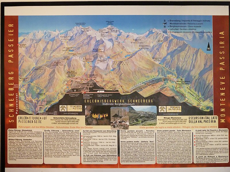
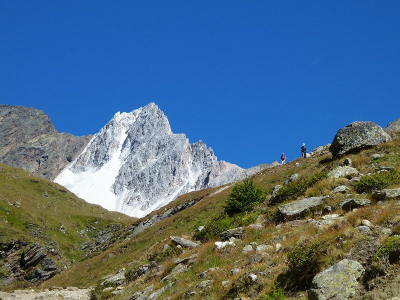
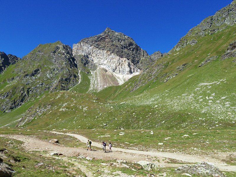
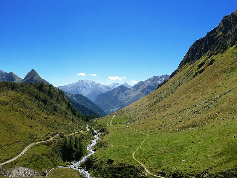
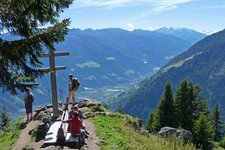
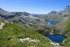
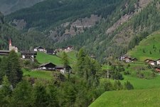
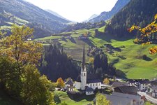
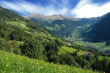
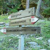
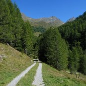
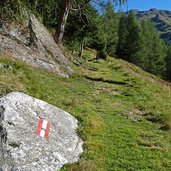
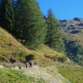
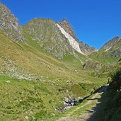
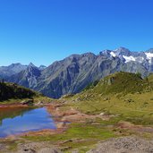
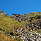
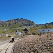
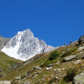
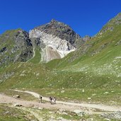
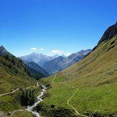
The access to the hiking path to S. Martino at the Monteneve is located at the “Ponte di Monteneve” (Schneeberger Brücke, 1,670 m asl.) at the road to the Passo del Rombo (Timmelsjoch), above the village of Moso in Passiria. We follow the marker no. 31 towards the Rifugio Monteneve (mountain hut). Soon the forest path changes to the northern side of the valley and after 150 metres the marker points to the left. No matter if we stay on the forest road or follow the marker, both paths cross again a few curves later. Gradually the path proceeds up to the timber line and reaches a natural terrace at 2,150 m a.s.l. – with the small Lago di Monteneve lake in the centre. Now we are already in the midst of the old mine. Behind the lake the first buildings of the mine are visible. Two paths climb up the steep hill, both lead to the Monteneve Mountain Hut.
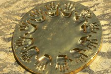
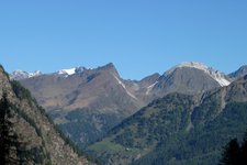
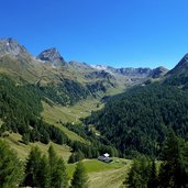
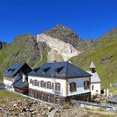
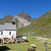
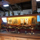
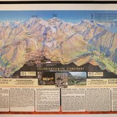
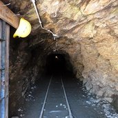
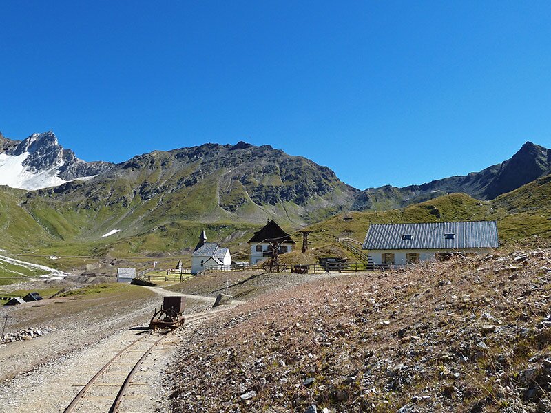
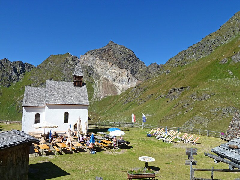
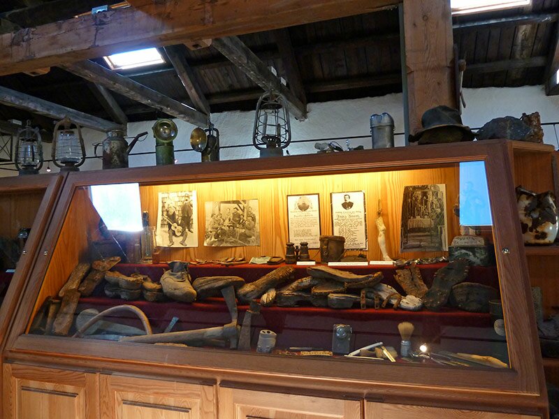
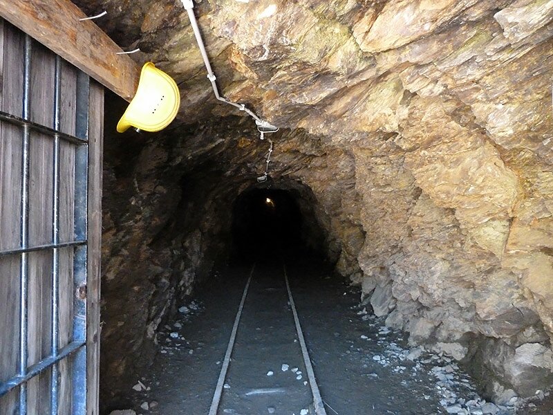
Arrived at the top we have reached the former mining village San Martino, it consists of the binominal mountain hut, the little church “Madonna della Neve” (Maria Schnee) and other buildings of the former mine. The “village” is framed by a gorgeous alpine scenery, the Croda della Cintola (Gürtelwand), Rocce Bianche di Montenevoso (Schneeberger Weißen) and Rocce Bianche del Massaro (Moarer Weißen) in the north and east, the Monte Principe (Hochfirst) and the Monte die Granati (Granatenkogel) in the west. Next to the Monteneve mountain hut also the show room of the museum is located, which explains the 800-year old history of the mining on site. Those who want to know more can visit the gallery of S. Martino (Martinsstollen) or experience one of the adventure trails, which lead to the several locations in the area. Basically the “adventure mine” is a big outdoor museum.
Author: AT
-
- Starting point:
- Ponte di Monteneve (Schneebergbrücke) at the road to the Passo del Rombo (Timmelsjoch) (parking space, bus stop)
-
- Time required:
- 03:15 h
-
- Track length:
- 8,2 km
-
- Altitude:
- from 1.666 m to 2.355 m
-
- Altitude difference:
- +685 m | -685 m
-
- Signposts:
- 31
-
- Destination:
- Rifugio Monteneve - Schneeberg mountain hut
-
- Resting points:
- Rifugio Monteneve - Schneeberg mountain hut
-
- Recommended time of year:
- Jan Feb Mar Apr May Jun Jul Aug Sep Oct Nov Dec
-
- Download GPX track:
- Walking tour to S. Martino at the Monteneve