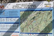
This circular hike in the Val d’Ultimo valley leads from Lake Zoccolo to three beautiful mountain huts surrounded by alpine meadows
Image gallery: Circular hike to three mountain huts
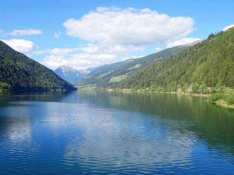
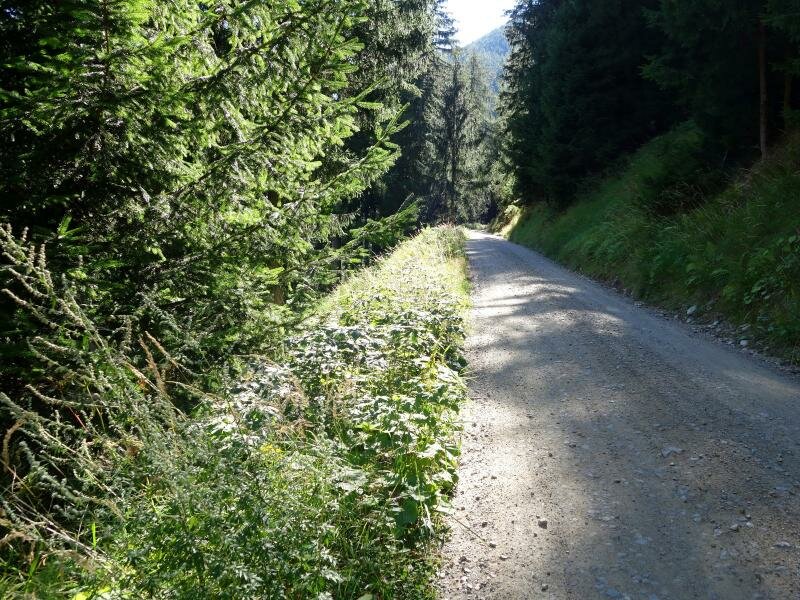
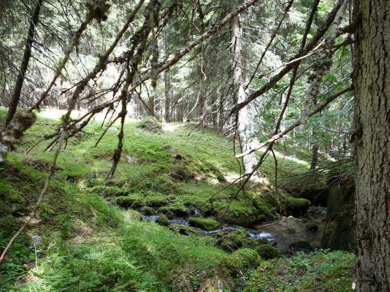
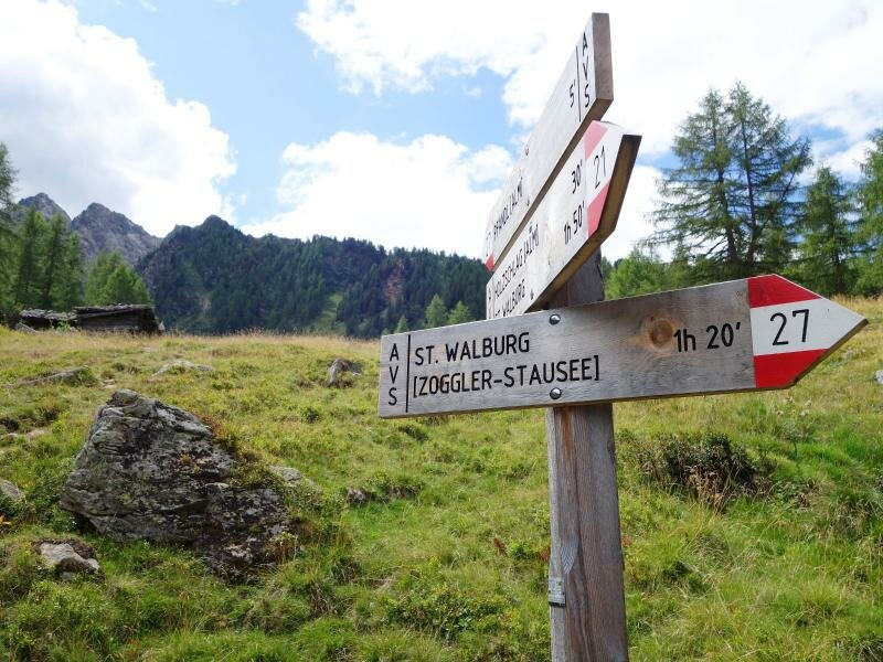
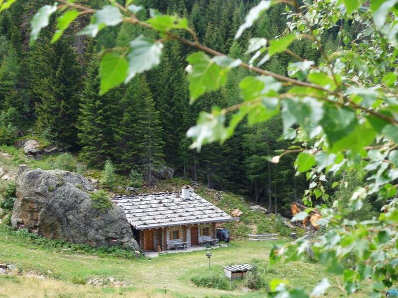
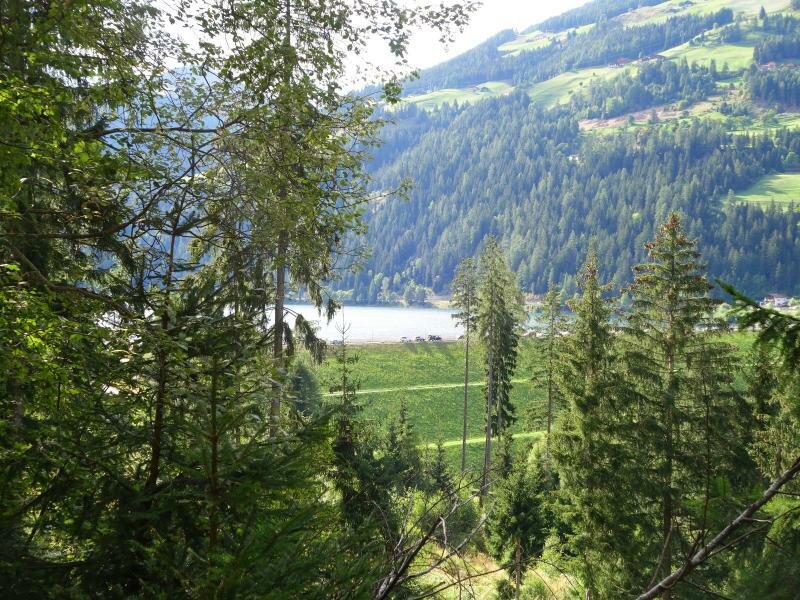
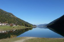
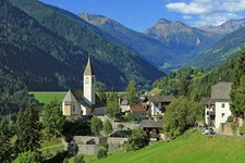
This beautiful, but longer walk starts east of Santa Valburga (St. Walburg) in the Val d'Ultimo valley, more precisely at Lake Zoccolo. We - that's to say a family with three mountain experienced kids aged 6, 8 and 10 - park our car on the shores of the artificial lake and follow the dam wall to the forest. The hiking path starts on the left-hand side. It's a wide and well signposted forest road, leading us slightly uphill to a branch-off. We decide to make the shorter version of the tour and to take the shortcut, which snakes its way steeply uphill through the forest. Also this path is well signposted. After 400 m of altitude difference, we see the first mountain hut, Malga Holzschlag at 1,572 m a.s.l., in front of us. This little wooden hut has been rebuilt recently, but it's not managed. So we decide to enjoy the fresh mountain air and to stop for a picnic near a small brook.
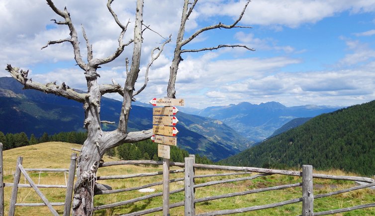
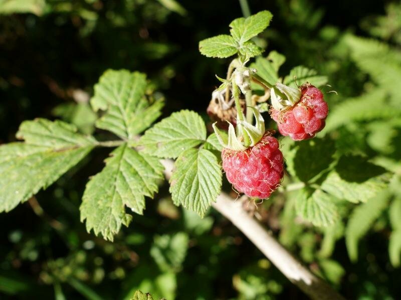
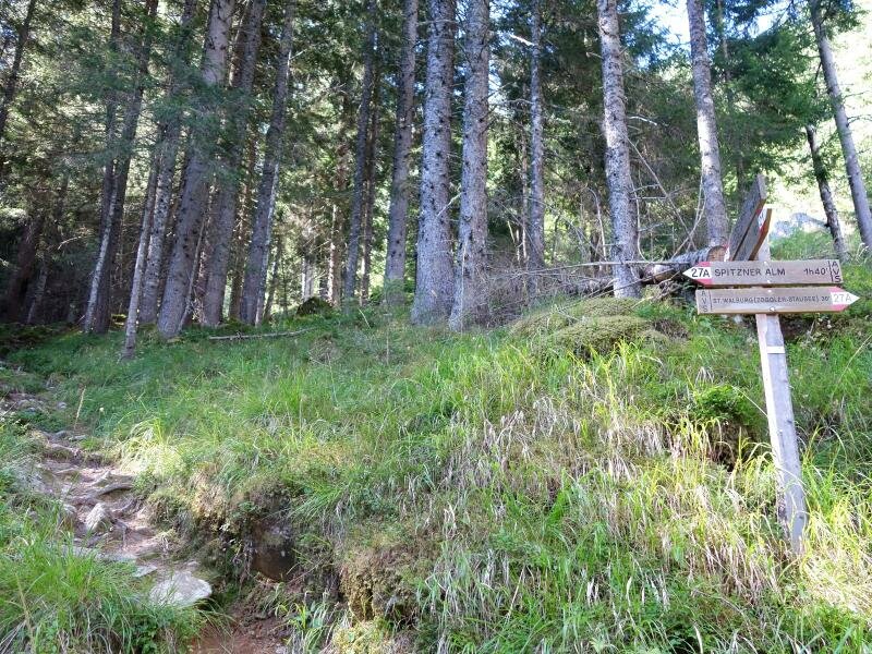
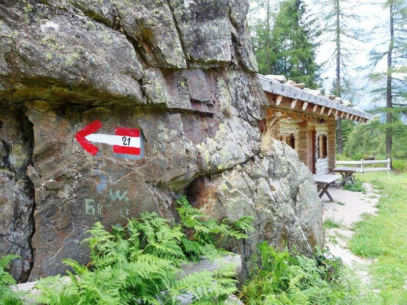
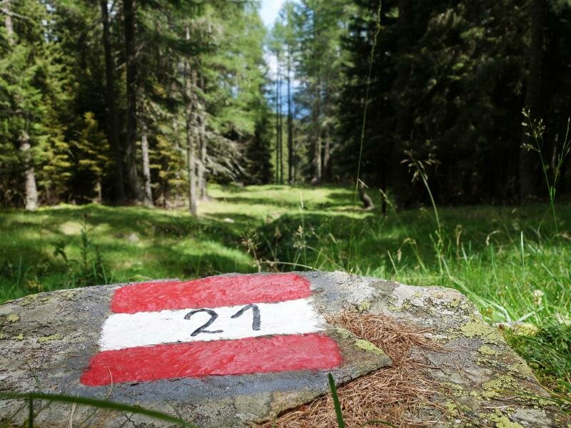
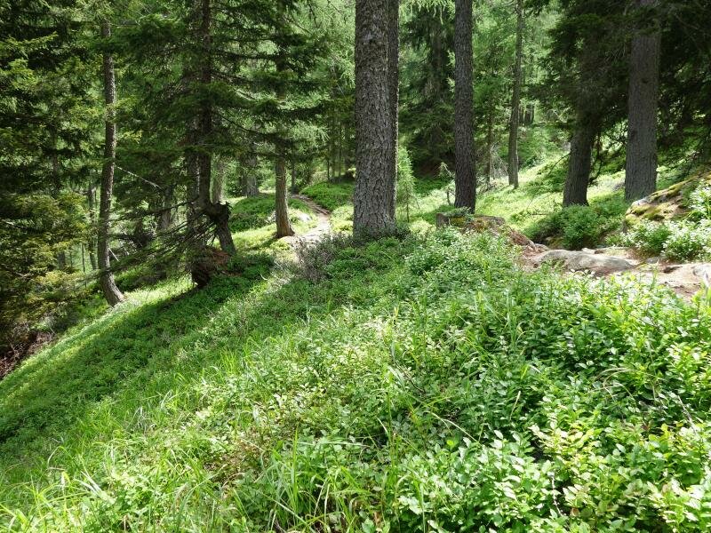
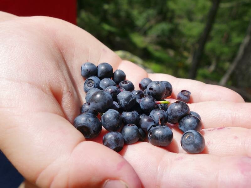
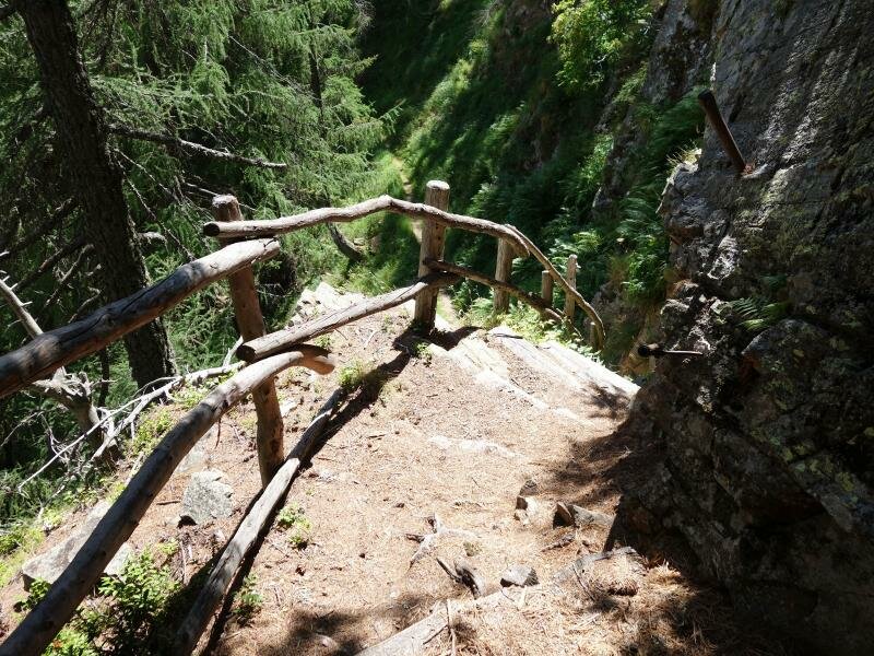
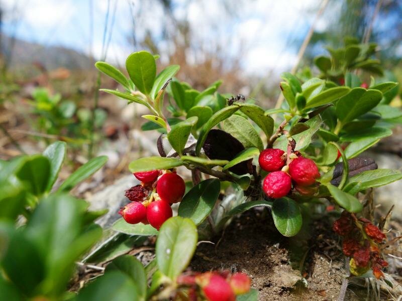
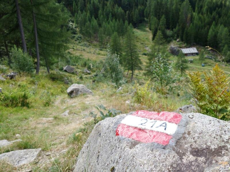
Behind the big rock near the wooden hut, the path no. 21 continues and leads us into the forest again. We walk uphill to the next mountain hut - also this one is not managed and privately owned. It is the small Malga Pfandl at 1,840 m a.s.l., which we reach after an uphill hike through forests and across meadows. Once at the hut, we enjoy the spectacular view on the valley. Now we follow the path on the left-hand side into the forest. It snakes its way through the trees, so be careful not to stumble over the roots! After some minutes walking time and collecting delicious blueberries, we follow the stairs downwards to a narrow forest road.
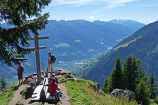
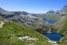
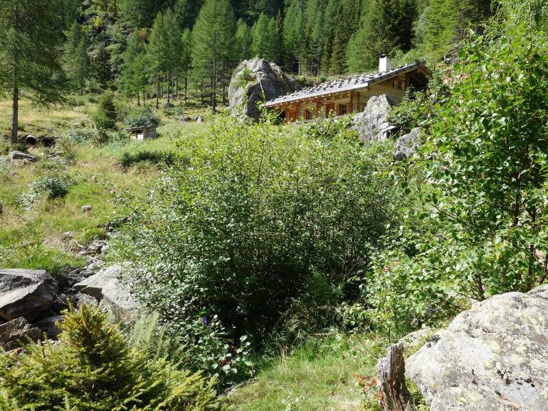
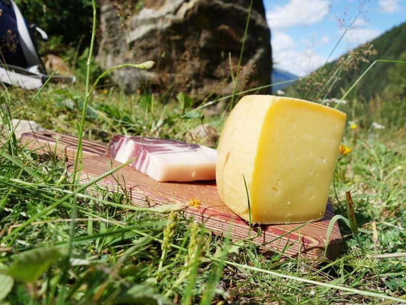
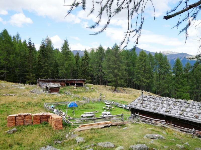
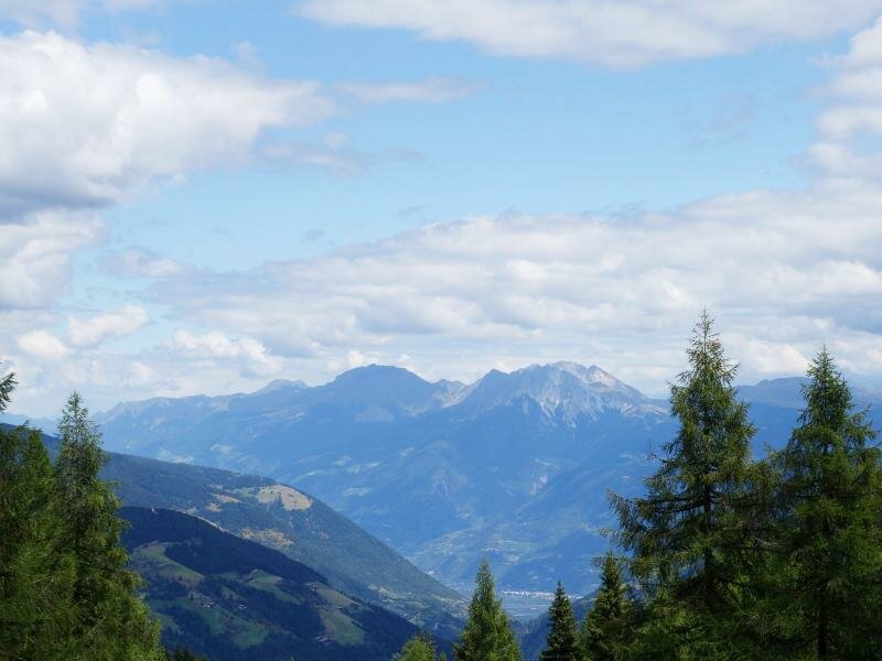
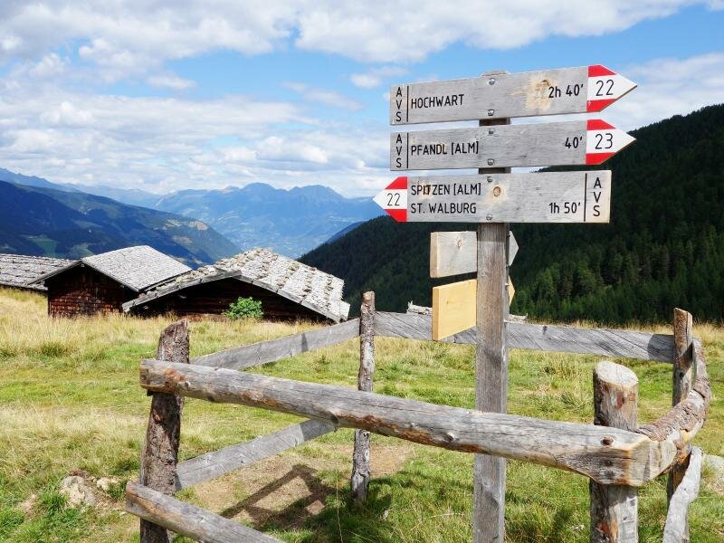
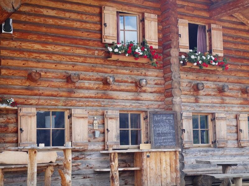
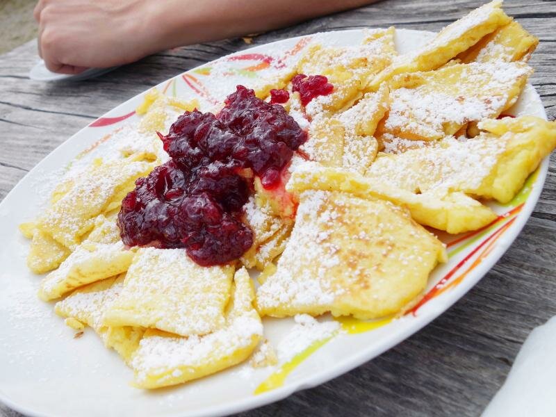
After a few ups and downs on a narrow forest path - and a pure walking time of an estimated two hours - we reach the last and at the same time the highest located of the three mountain huts: Malga Spitzner at 1,856 m a.s.l. It is located right beneath our path, so before we head down to the wooden hut, we enjoy the panoramic view down the valley and - on the other side - on Lake Arzkar, an artificial lake situated in the heart of the mountains. This mountain hut, however, is managed and offers local delicacies such as home-made apple strudel and mountain cheese. We decide to try a "Kaiserschmarrn", a shredded pancake with cranberries. Yummy!
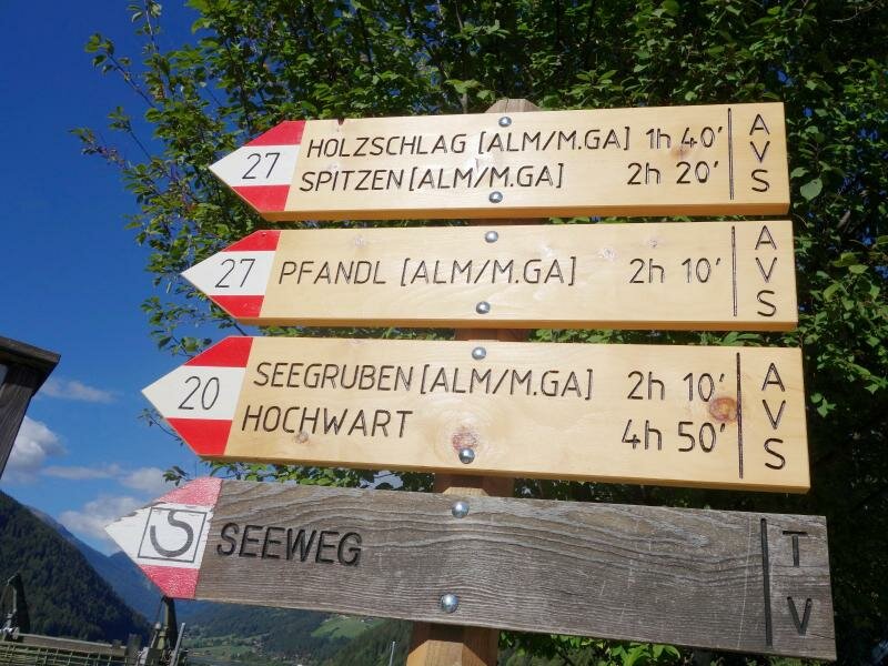
Since this tour is a circular hike, it's time to head back to the valley. We can choose between a wide forest road, starting on the right-hand side beneath the mountain hut (no. 22, about 1.75 hours to Santa Valburga) or the shorter, but also steeper alternative, path no. 21a. We follow the latter. After 20 minutes over rough and smooth we reach the Malga Holzschlag mountain hut again. From there, we follow the ascent route and finally turn back to Lake Zoccolo and our car.
Please note: As mentioned above, you can either choose the wide forest road (no. 22) or the narrower and steeper shortcut (no. 21a) for the descent. With several stops to have a picnic, to collect blueberries or to simply enjoy the great view, this tour becomes a full day hike!
Suitable for families? only for mountain experienced kids: the tour is long and leads - in part - steeply uphill through the forest.
Author: MS
-
- Starting point:
- Lake Zoccolo, Santa Valburga in the Val d'Ultimo valley
-
- Overall time:
- 04:15 h
-
- Total route length:
- 11,2 km
-
- Altitude:
- from 1.132 m to 1.888 m
-
- Altitude difference:
- +756 m | -756 m
-
- Route:
- Lago di Zoccolo - Malga Holzschlag - Malga Pfandl - Malga Spitzner - Malga Holzschlag - Lago di Zoccolo
-
- Signposts:
- no. 21 (shortcut), 21a, 23, 27 (forest road), 22 (alternative return path to S. Valburga)
-
- Resting points:
- Malga Spitzner
-
- Recommended time of year:
- Jan Feb Mar Apr May Jun Jul Aug Sep Oct Nov Dec
-
- Download GPX track:
- Circular hike to three mountain huts
If you want to do this tour, we suggest you to check the weather and trail conditions in advance and on site before setting out.