meraner hoehenweg
meraner hoehenweg

Alta Via di Merano

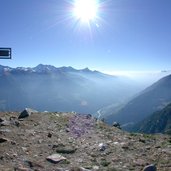
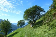
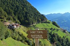
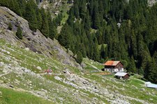
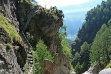
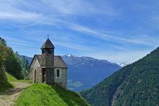
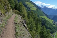
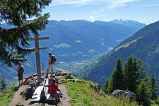
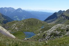
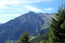
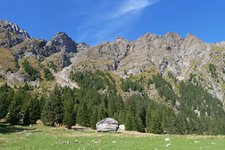
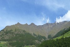
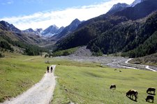
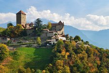
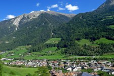
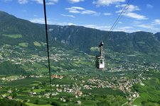
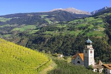
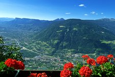
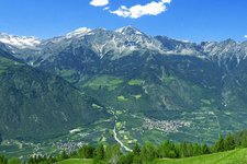
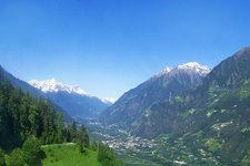
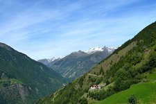
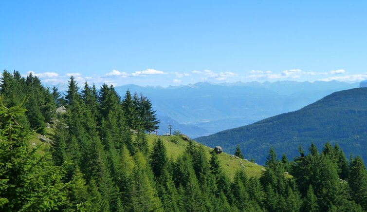
The Alta Via di Merano, a high alpine tour leading through the impressive Gruppo di Tessa Nature Park, is the hiking highlight in the region around Merano

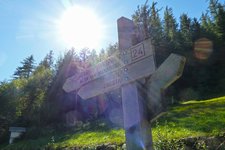
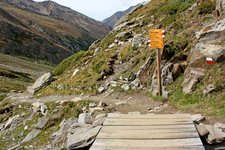
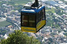
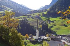
The almost 100 km long Alta Via di Merano was opened in the year 1985 and leads all around the Tessa mountain group, passing many farms and villages in the immediate surroundings of Merano, the Val di Senales and the Val Passiria. In fact, every year it is gaining more and more popularity among hiking enthusiasts. For reasons of simplicity, all trails of the Alta Via di Merano have the same no. 24. Moreover, all starting points of the different stages can be reached by cable cars and/or public buses.

The Alta Via di Merano is divided into a northern part (from Monte Santa Caterina in Val Senales to Passo Gelato and Ulfas in Val Passiria) and a southern part (from Ulfas to the Muthöfe farmsteads and back to Monte Santa Caterina). Passo Gelato at 2,898 m a.s.l. is the highest, Valclava at 790 m a.s.l. the lowest point of the hiking route, which mostly runs at an altitude between 1,300 and 1,800 m a.s.l. In the following we present the Alta Via di Merano (clockwise), divided into 9 single stages. According to the length of each stage and your personal physical fitness you can chose to do one to three stages per day.
Suggest an edit/correction

Our editorial staff is always committed to ensuring the highest quality and accuracy of the information we publish. If you have suggestions to improve this page you can send them to us using the form below. Thank you in advance!
Close
  1. meraner hoehenweg ulfas christl matatz

    Stage 1: Capanne di Fuori - Ulvas - Montaccio

    From the shady coniferous forests in the Val di Plan the trail leads to Ulvas,…
  2. meraner hoehenweg matatz magdfeld vernuer

    Stage 2: Montaccio - Vernurio

    The trail takes along the sunny slopes of the Val Passiria, passing Montaccio,…
  3. mhw vernuer muthoefe

    Stage 3: Vernurio - Muthöfe farmsteads

    From Vernurio and Gaveis the trails leads first to the Longfall mountain hut in the…
  4. nasereithuette meraner hoehenweg

    Stage 4: Leiter mountain hut - Moncucco

    Casa del Valico mountain hut, Tablà alpine pasture, Val di Tel, Moncucco: on the…
  5. tal der tausend stufen meraner hoehenweg

    Stage 5: Moncucco - Unterstell

    The trail of the 5th stage leads from Moncucco to Unterstell above the village of…
  6. meraner hoehenweg unterstell katharinaberg schnals

    Stage 6: Unterstell - Monte S. Caterina

    Hiking across the steep slopes high above the Val Senales, the 6th stage passes…
  7. steiler abgrund am mhw schnalstal

    Stage 7: Monte S. Caterina - Casera di Fuori

    From the Val Senales the 7th stage leads into the Val di Fosse, crossing the…
  8. Meraner Hoehenweg nord etappe

    Stage 8: Casera di Fuori - Passo Gelato

    This impressive 8th stage of the northern Alta Via di Merano leads across the 2,879…
  9. meraner hoehenweg stettiner huette pfelders

    Stage 9: Rifugio Petrarca - Plan

    The 9th and last stage of the Alta Via di Merano leads us from the high mountains…
  10. Meraner Hoehenweg Nord Wegweiser

    More information on the Alta Via di Merano

    Here you can find some useful information and suggestions for the Alta Via di Merano.

Suggested accommodations

Tips and more infos