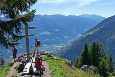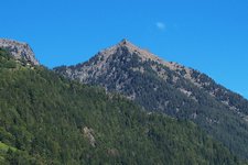
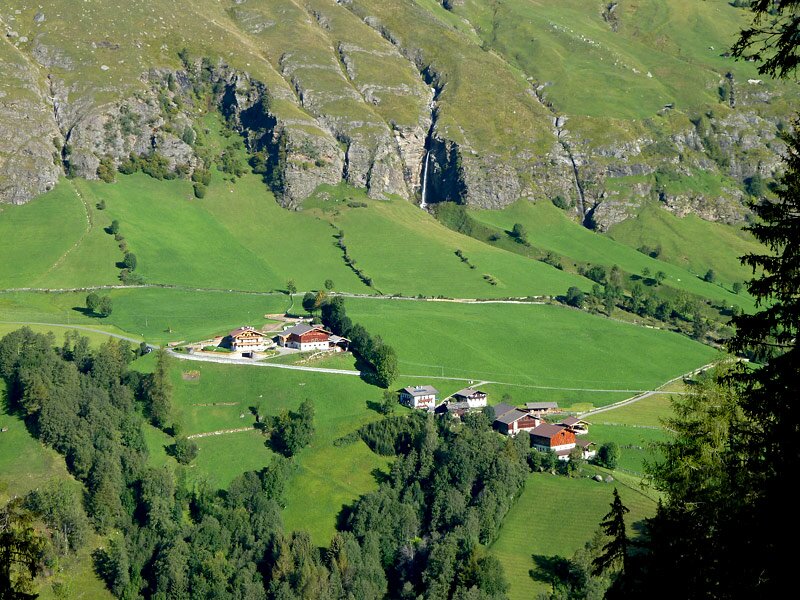
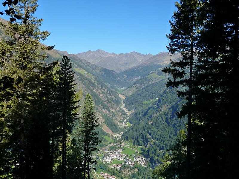
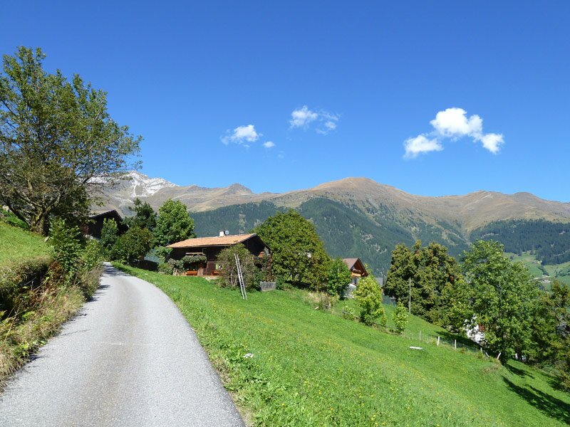
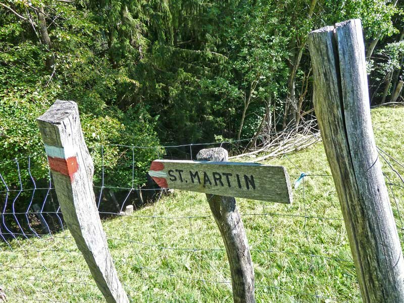
From the shady coniferous forests in the Val di Plan the trail leads to Ulvas, Cresta and Montaccio, and finally to the sunny meadows above San Martino in Passiria
Image gallery: Alta Via di Merano Capanne di Fuori - Ulvas - Montaccio
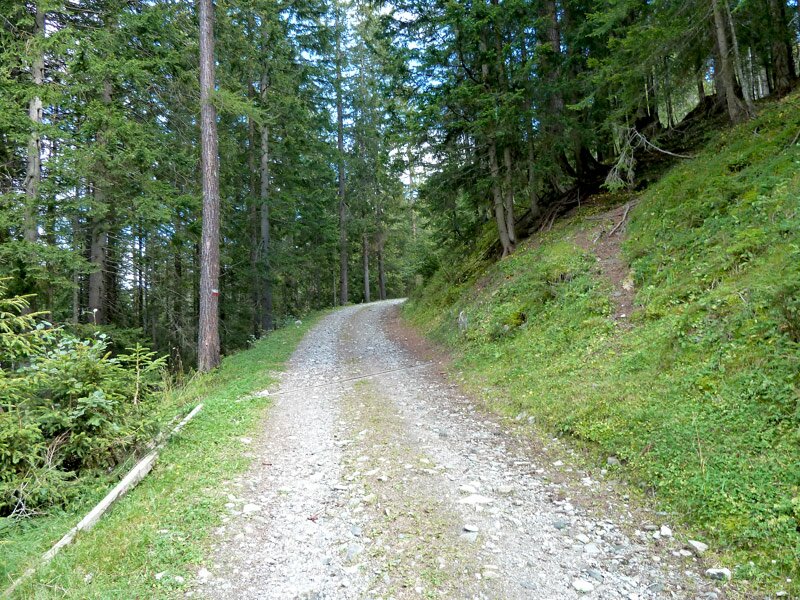
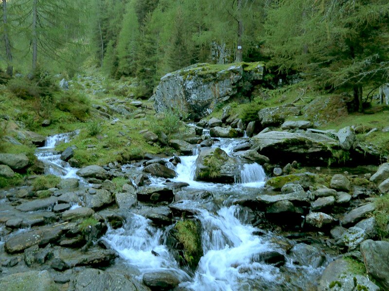
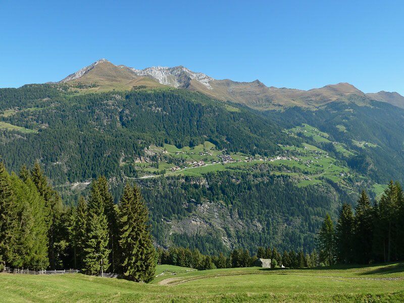
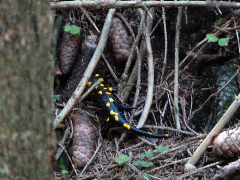
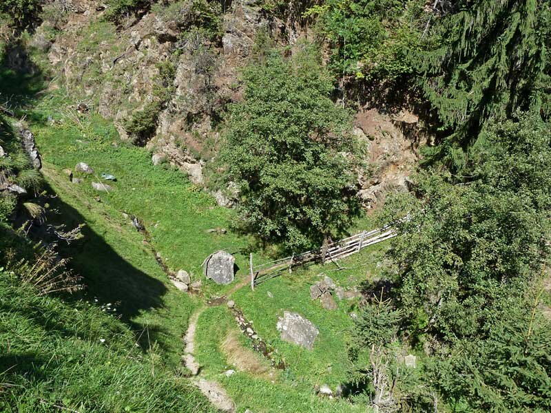

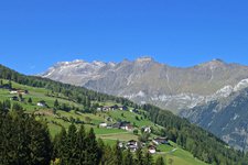
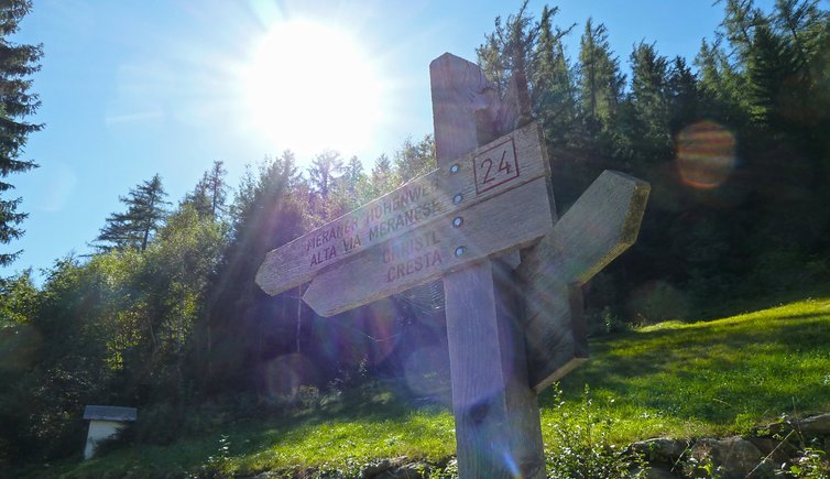
Ulvas devides the Alta Via di Merano into its northern and southern parts. However, we start our 1st stage in Capanne di Fuori (Ausserhütt) between Plata and Plan in the upper Val Passiria, since Ulvas has no own bus station. We hike gently upwards on a forest road following signpost n° 24, before a narrow trail leads us into the coniferous forest. Time and time again we may enjoy very nice views of the Val di Plan, Corvara and the Stubai Alps.
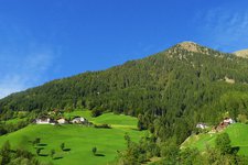
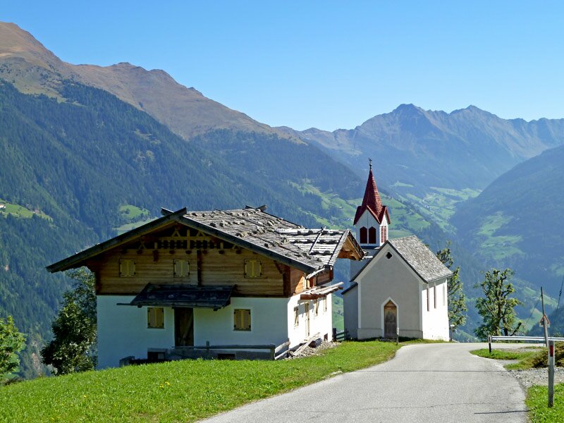
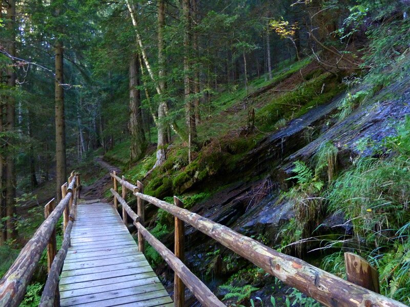
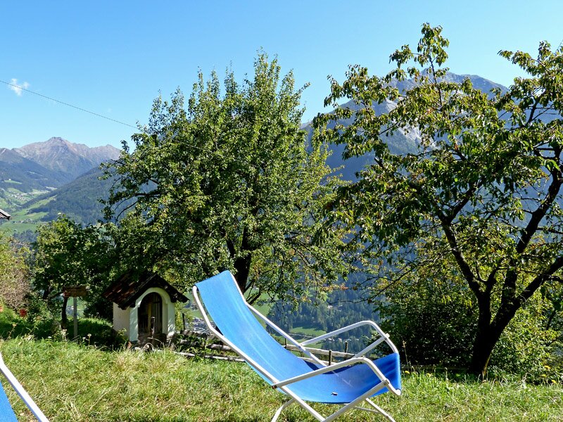
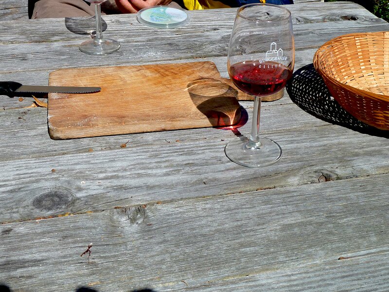
Crossing a small stream over a wooden bridge, we soon afterwards reach the village of Ulvas on a forest road. Passing the small church of Ulvas, we enter into the forest again and cross several small streams before we finally reach an asphalted road which leads us to Cresta. In the restaurant Christl we enjoy a tasty snack with speck and a great view of the Val Passiria.
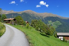
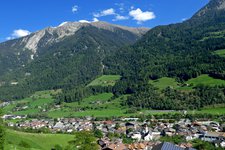
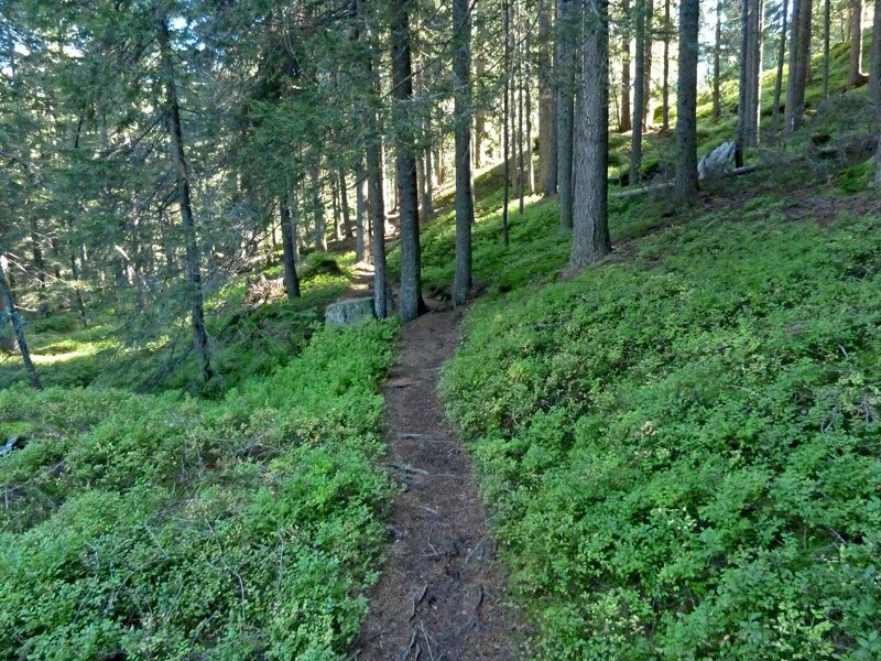
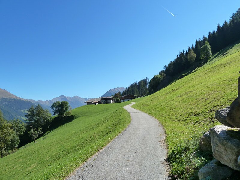
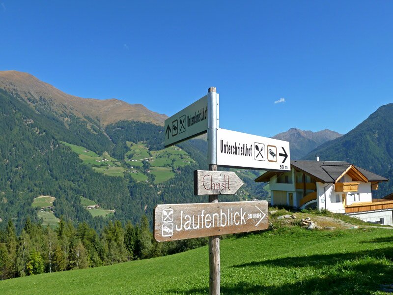
Continuing our hiking tour, we follow the same road before we reach a narrow trail which leads us through the forest along the sunny side of the Tessa mountain group and finally to Montaccio. After about 12 km and 3.5 hours of walking we decide to hike downwards to San Martino in Passiria (approx. 3 km and one hour of walking, in addition to the data indicated).
-
- Starting point:
- Ausserhütt (Capanne di Fuori) between Moso in Passiria and Plan
-
- Overall time:
- 04:00 h
-
- Total route length:
- 12,7 km
-
- Altitude:
- from 1.031 m to 1.561 m
-
- Altitude difference (uphill | downhill):
- +391 m | -787 m
-
- Route:
- Ausserhütt - Ulgas - Christl - Matatz
-
- Signposts:
- n° 24 (Alta Via di Merano)
-
- Destination:
- Matatz / Montaccio
-
- Resting points:
- Jausenstation Christlhof
-
- Recommended time of year:
- Jan Feb Mar Apr May Jun Jul Aug Sep Oct Nov Dec
-
- Download GPX track:
- Alta Via di Merano Capanne di Fuori - Ulvas - Montaccio
If you want to undertake this hike, we recommend checking the weather and trail conditions in advance and on site before starting this hike!