The Val Venosta bicycle track from Passo Resia to Merano is a beautiful and varied section of the Via-Claudia-Augusta bicycle track
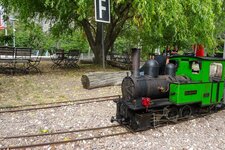
Image gallery: Val Venosta bicycle track
The Val Venosta bicycle track, which runs along the Adige river from Passo Resia to Merano, forms a part of the Via-Claudia-Augusta bicycle track. We start our tour in the village of Malles right under the mountain pass.
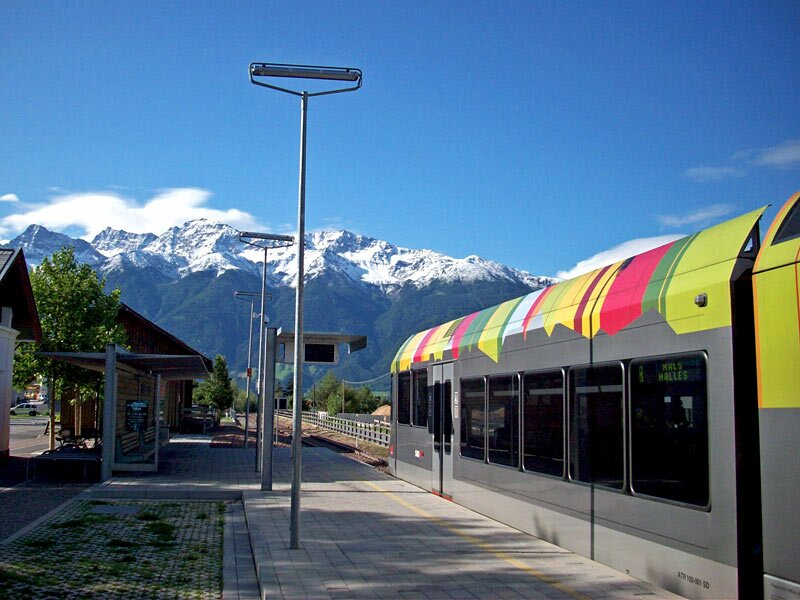
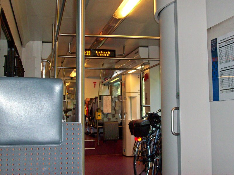
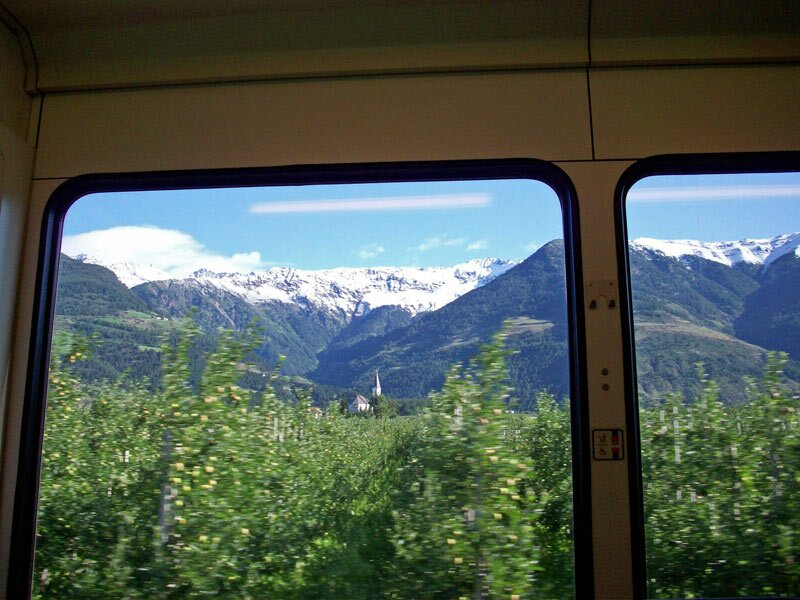
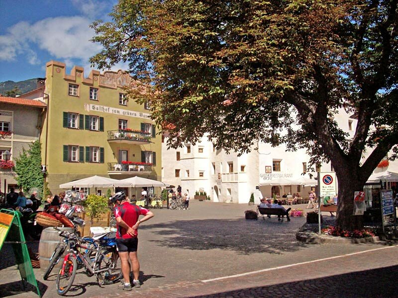
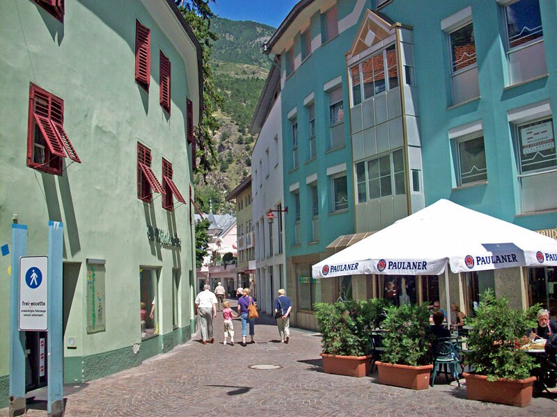
In order to reach our starting point at 1,050 metres a.s.l., we take the Val Venosta train from Merano (we can take our bike with us, see 'Bicycle & Train') to Malles. Arrived in Malles, we follow the main road down to the small medieval city of Glorenza, which is very worth to be visited!
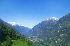
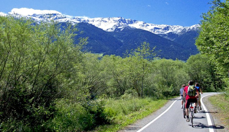
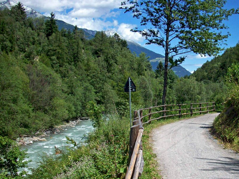
After Glorenza, we turn right into the bicycle track along the Adige river, which leads us into the 'Prader Sand' biotope south of Sluderno, with its rare bird and fish species. In the background we see the impressive white peaks of the Ortles group.
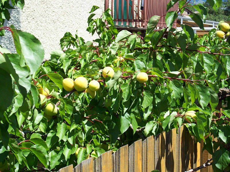
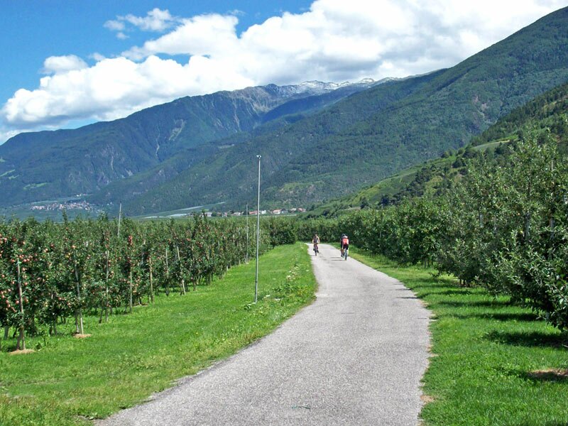
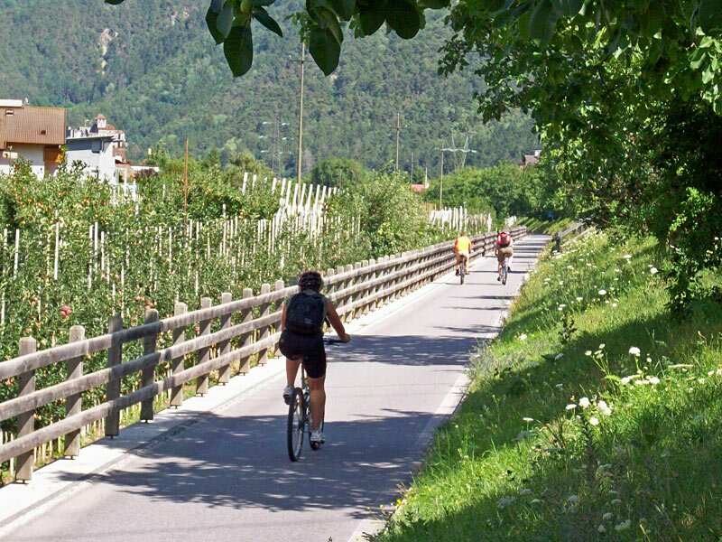
Crossing the village Prato allo Stelvio, we continue our bicycle tour on country trails leading towards east. Since we cycle at the boarder of the Stelvio national park the ground is not asphalted. Therefore, we recommend to use mountainbikes. After a while we reach the village Lasa. Lasa is known for the pure white marble quarried in the mountains south of the village. Moreover, Lasa is the centre of the apricot cultivation in the Val Venosta.
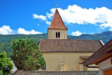
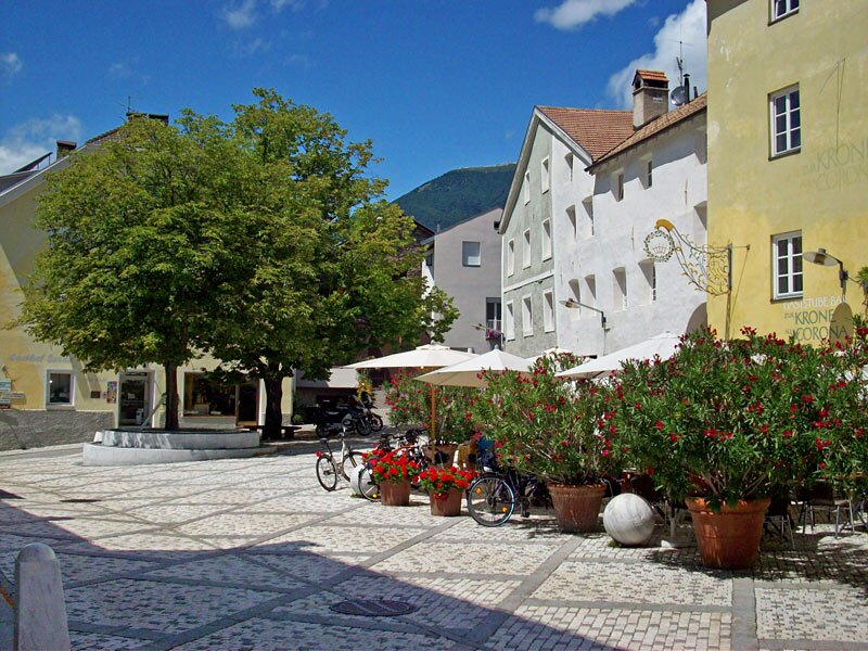
Back on the bicycle track, we continue to cycle along the Adige river until we reach the village of Silandro (locality Covelano), which is considered to be the centre of the Val Venosta, and finally the village of Laces at the entrance of the Val Martello. The bicycle track crosses Laces and we may have a look at its Romanesque centre.
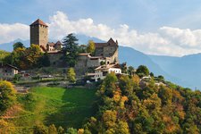
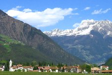
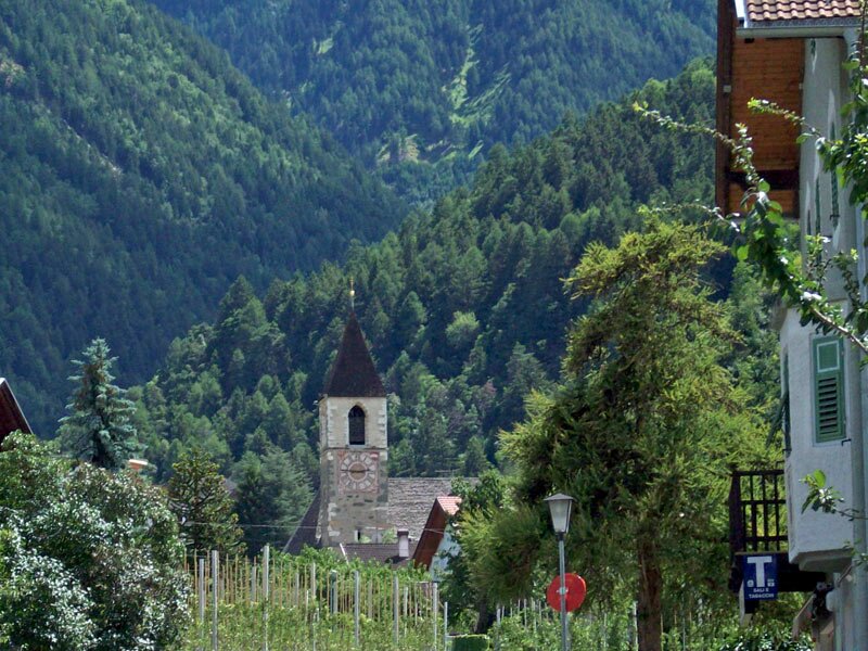
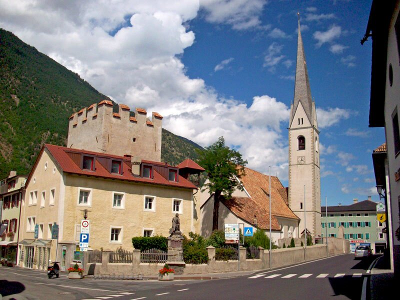
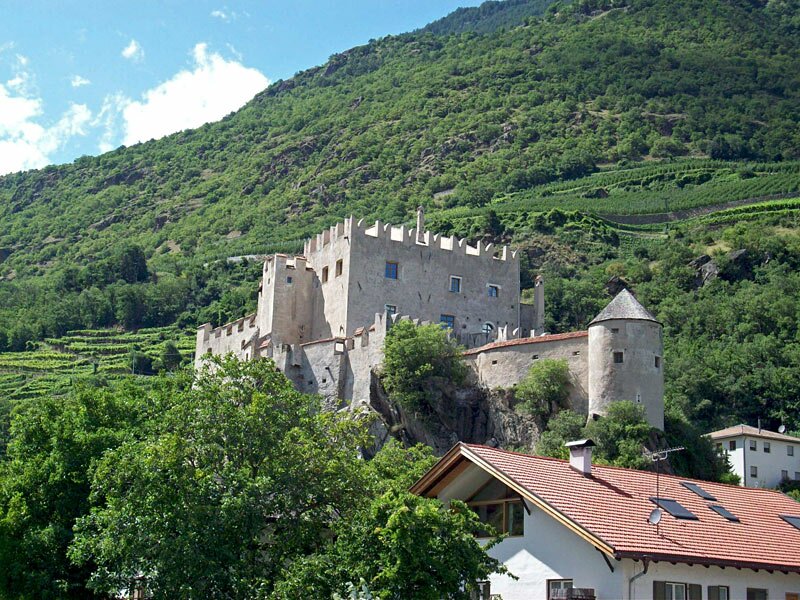
In Castelbello the Val Venosta gets warmer and we see the first vineyards. Castelbello Castle can be seen very good from the bicycle track. We pass the entrance of the beautiful Val Senales and the village of Naturno.
Passing the villages of Plaus and Parcines we arrive at the small locality Tel, where we turn left and cycle downwards to Lagundo and finally Merano.
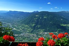
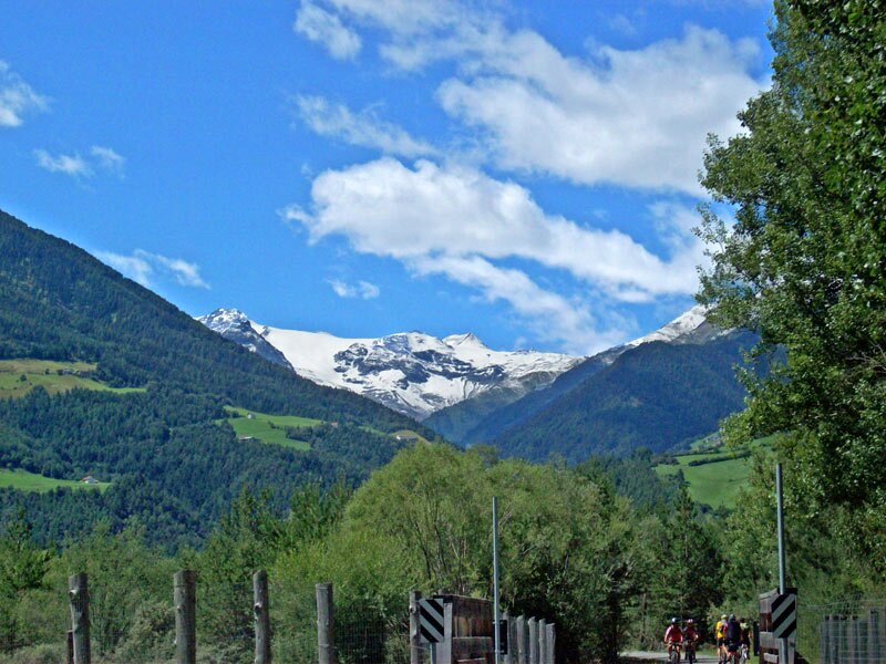
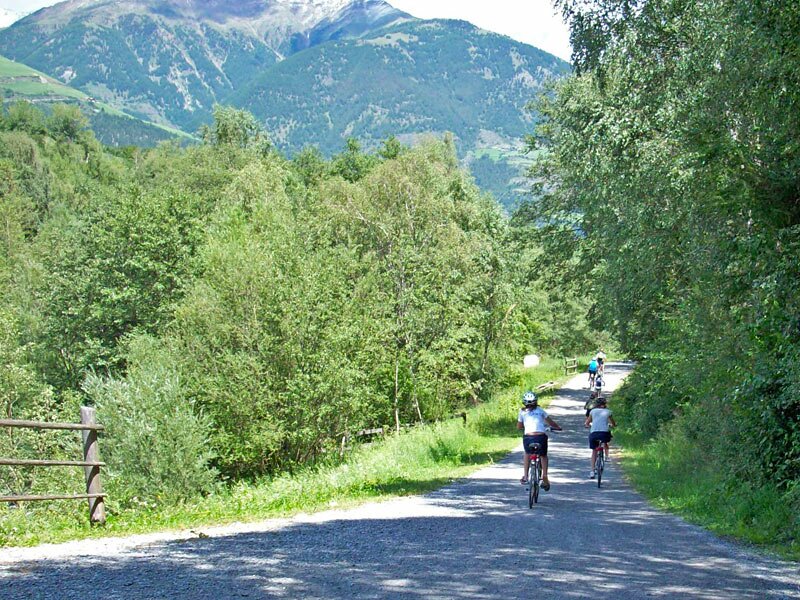
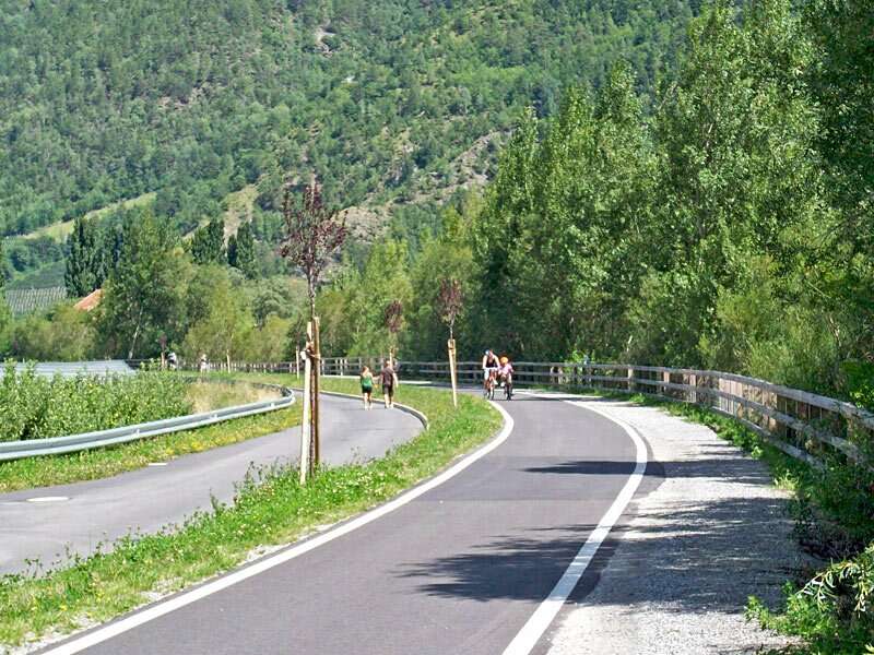
With the impressive walls of Mount Ortles and the sunny slopes of Monte Sole, the Stelvio national park and the fruit orchards and vineyards, the Val Venosta bicycle track offers a very beautiful and varied landscape.
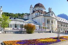
Merano is the destination of this route, but once you arrive at the Maia Bassa railway station (or, alternatively, in Merano's city centre), you can also continue towards Bolzano, following the Adige cycle path.
Author: AT
Experienced: July 2009
Last update: 2026
-
- Starting point:
- Malles Venosta railway station
-
- Overall time:
- 03:50 h
-
- Total route length:
- 61,2 km
-
- Altitude:
- from 289 m to 998 m
-
- Altitude difference (uphill | downhill):
- +39 m | -742 m
-
- Signposts:
- Vinschger Radweg, Via Claudia Augusta, Etsch-Radweg
-
- Destination:
- Merano
-
- Track surface:
- mostly asphalted bicycle tracks, forest trails and secondary roads; some sections run in a Natura 2000 area (gravel)
-
- Recommended time of year:
- Jan Feb Mar Apr May Jun Jul Aug Sep Oct Nov Dec
-
- Download GPX track:
- Val Venosta bicycle track