A beautiful tour to explore the mountain world of the Val Passiria valley up to the Malga Lazins mountain hut
Image gallery: Hike from Plan to the Malga Lazins
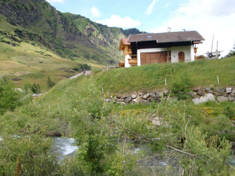
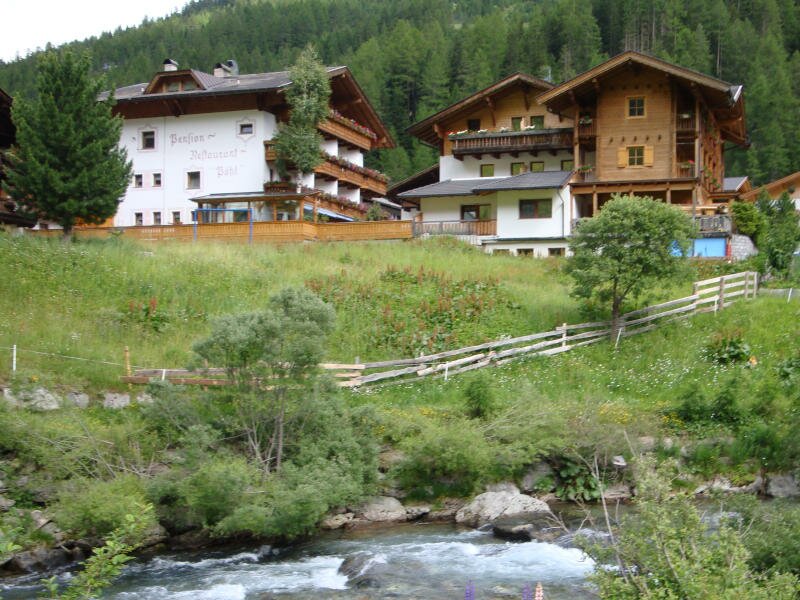
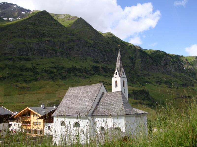
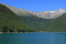
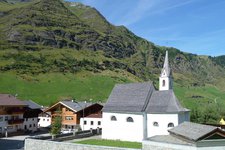
We park our car at the village entrance of Plan in the rear Val Passiria valley - closed to traffic by a barrier - and take a deep breath of the fresh mountain air at 1,622 m a.s.l. After the church we branch off to the right at the Alpenrose tavern and pass the first mountain hut soon afterwards.
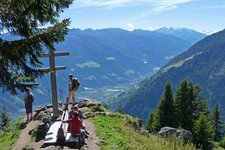
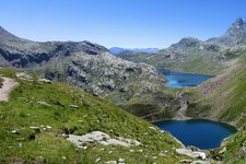
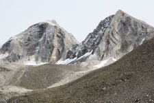
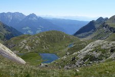
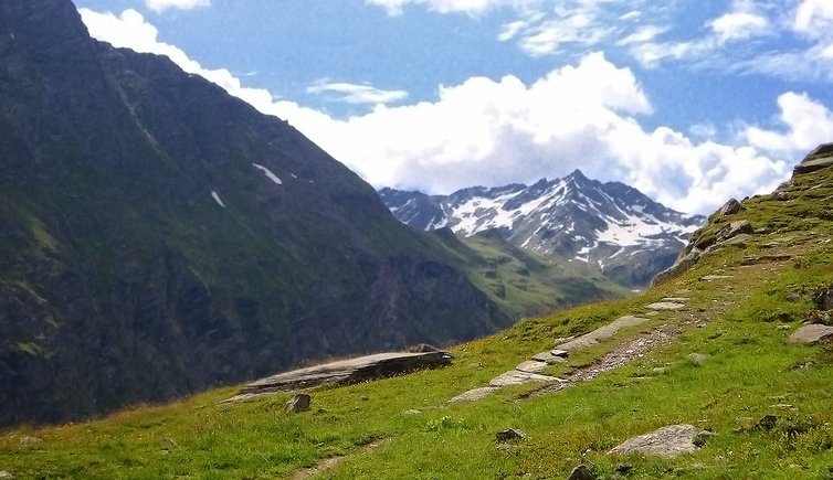
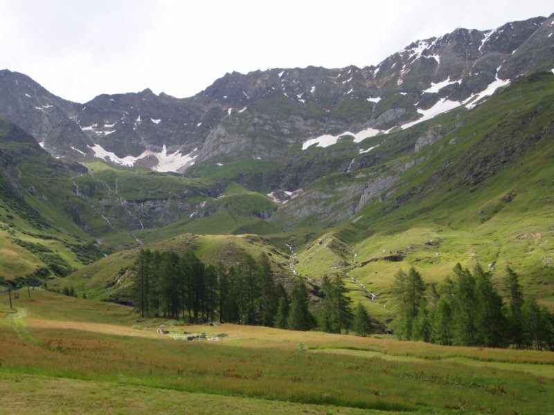
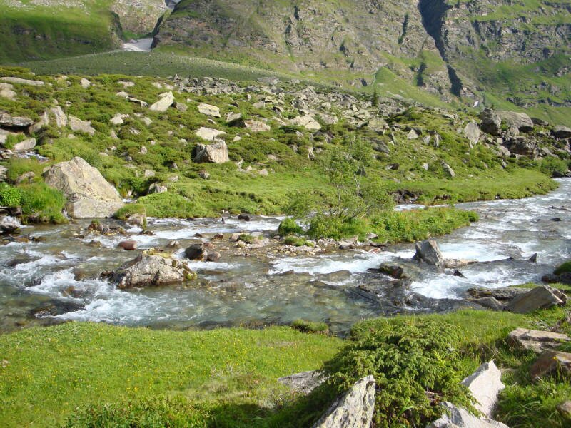
At this point the trail itself (no. 8) with uphill and downhill sections starts. Finally also the sun comes out and after a 1-hour walk past the Lazinserhof tavern (30 minutes) we reach our destination, the Malga Lazins mountain hut at 1,882 m a.s.l. It is located in an idyllic position in the heart of the Gruppo di Tessa Nature Park at the foot of the 3,480 m high Cima Altissima.
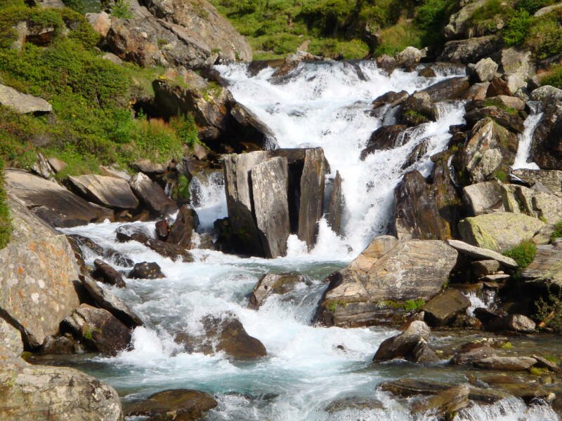
The hike on the forest road up to the mountain hut is really pleasant, only the last section is rather steep. We stop for a break and enjoy the amazing view on the surrounding mountains. The way back follows the same trail.
Please note: the hike is recommended on hot summer days since the starting point is already located at more than 1,600 m a.s.l. Bring some warm clothes along!
Author: MC
-
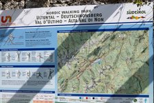
- Starting point:
- Plan (Pfelders) in the rear Val Passiria valley
-
- Overall time:
- 02:50 h
-
- Total route length:
- 9,7 km
-
- Altitude:
- from 1.603 m to 1.857 m
-
- Altitude difference (uphill | downhill):
- +254 m | -254 m
-
- Signposts:
- no. 8
-
- Destination:
- Malga Lazins mountain hut
-
- Resting points:
- Lazinserhof tavern, Malga Lazins mountain hut
-
- Recommended time of year:
- Jan Feb Mar Apr May Jun Jul Aug Sep Oct Nov Dec
-
- Download GPX track:
- Hike from Plan to the Malga Lazins
If you want to undertake this hike, we recommend checking the weather and trail conditions in advance and on site before starting this hike!