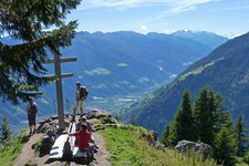
A hike on the sunny side above the Val d’Ultimo valley awaits us
Image gallery: Hike between Monte San Vigilio, Pavicolo and San Pancrazio
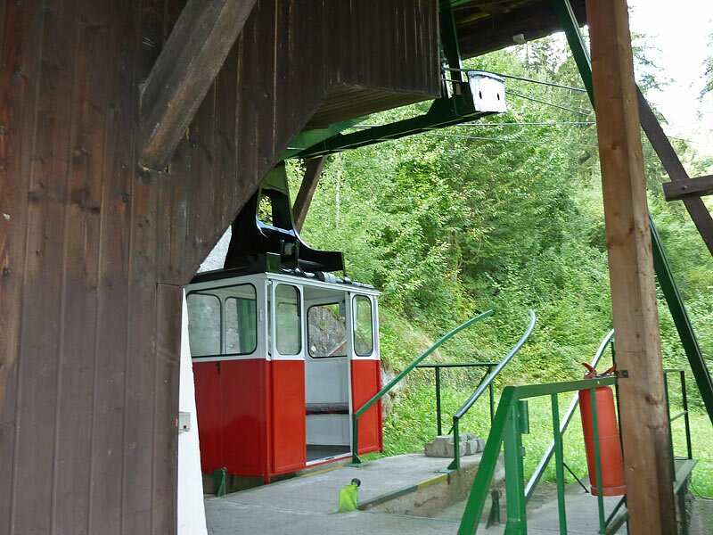
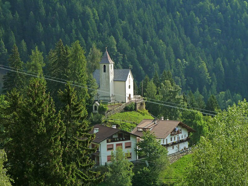
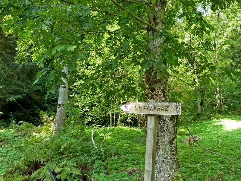


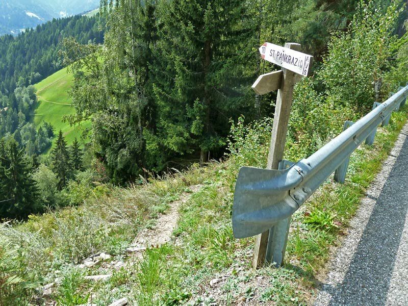
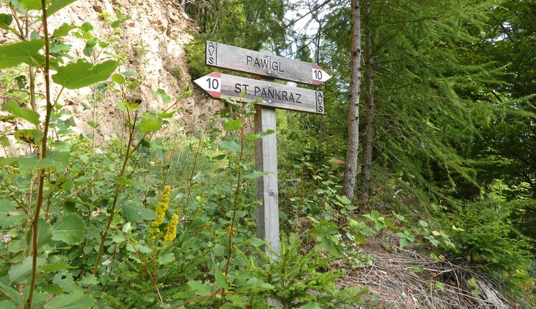
Today, the Lana - Monte San Vigilio cable car takes you to the starting point of this hike: when we embarked on it, we started instead at the top station of the small Pavicolo cable car, which has been out of service since 2022. From Monte San Vigilio, following trail marker 34, it takes only about forty minutes to walk downhill to the hamlet of Pavicolo (Pawigl), where we visit the St. Oswald Church first. Then we follow the path no. 10 towards San Pancrazio.
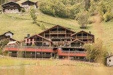
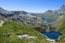
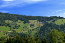
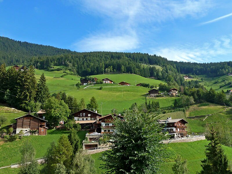
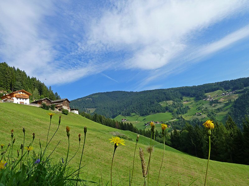
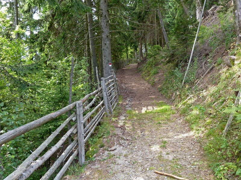
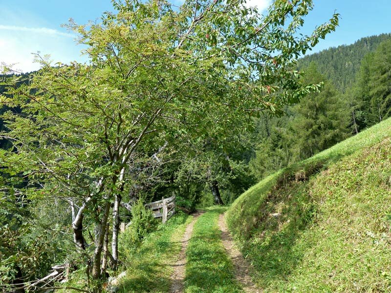
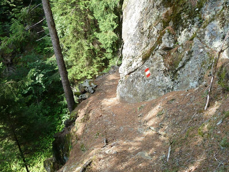
This high-altitude trail leads us through a varied landscape of dense coniferous forests, green meadows, small hamlets and mountain farms. The path snakes its way through narrow side valleys with bubbling mountain streams. After half way we decide to stop at the Leachn rest point in the locality of Guggenberg.
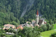
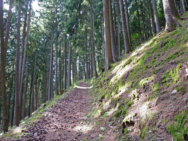
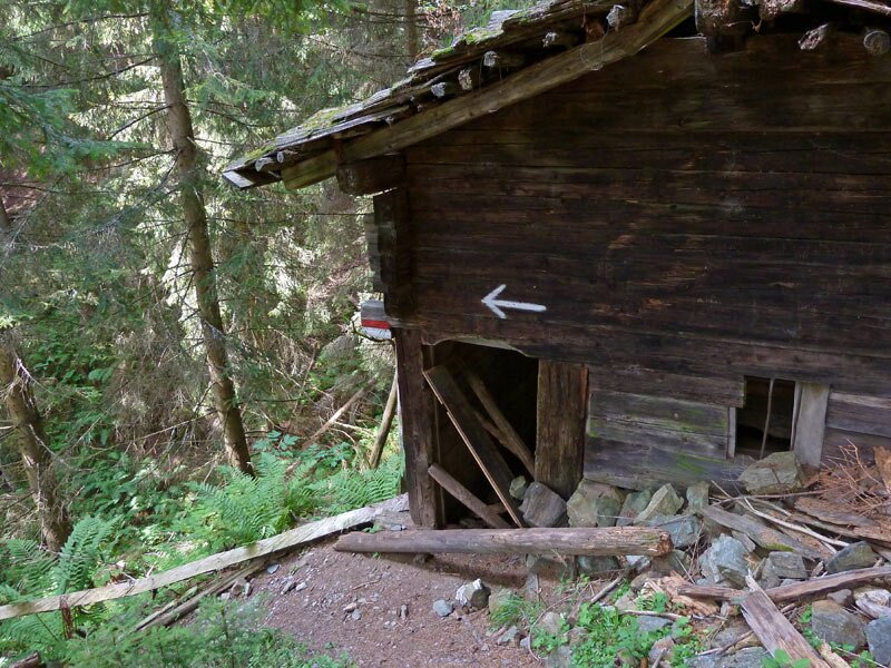
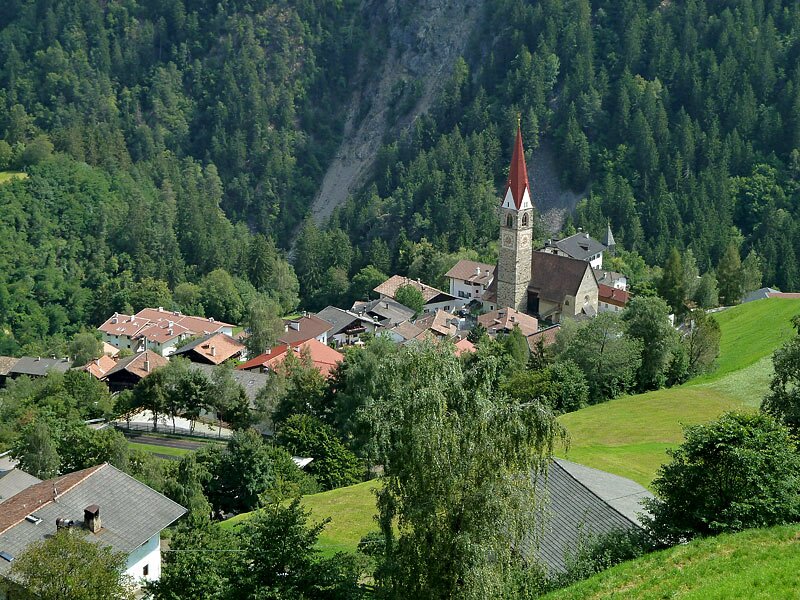
The descent to San Pancrazio leads us through the forest and crosses the asphalt road to the mountain farms. We complete our hike with a walk through the village centre and a visit to the local church. Afterwards we turn back to Lana by bus.
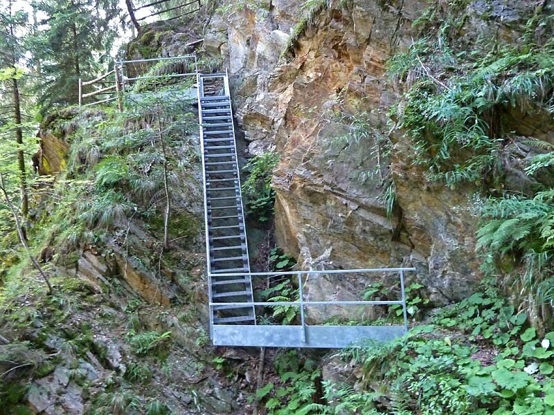
Please note: As there are also some exposed spots on this hike, sturdy footwear and surefootedness are required.
Author: AT
-
- Starting point:
- Mountain station of the Monte San Vigilio / Vigiljoch Cable Car, Lana
-
- Overall time:
- 04:15 h
-
- Total route length:
- 11,3 km
-
- Altitude:
- from 724 m to 1.489 m
-
- Altitude difference:
- +290 m | -1056 m
-
- Signposts:
- 34, 10 (Pavicolo - San Pancrazio)
-
- Destination:
- San Pancrazio
-
- Resting points:
- Pawiglerwirt, Leachn
-
- Recommended time of year:
- Jan Feb Mar Apr May Jun Jul Aug Sep Oct Nov Dec
-
- Download GPX track:
- Hike between Monte San Vigilio, Pavicolo and San Pancrazio
If you want to do this hike, we suggest you to check the weather and trail conditions in advance and on site before setting out.