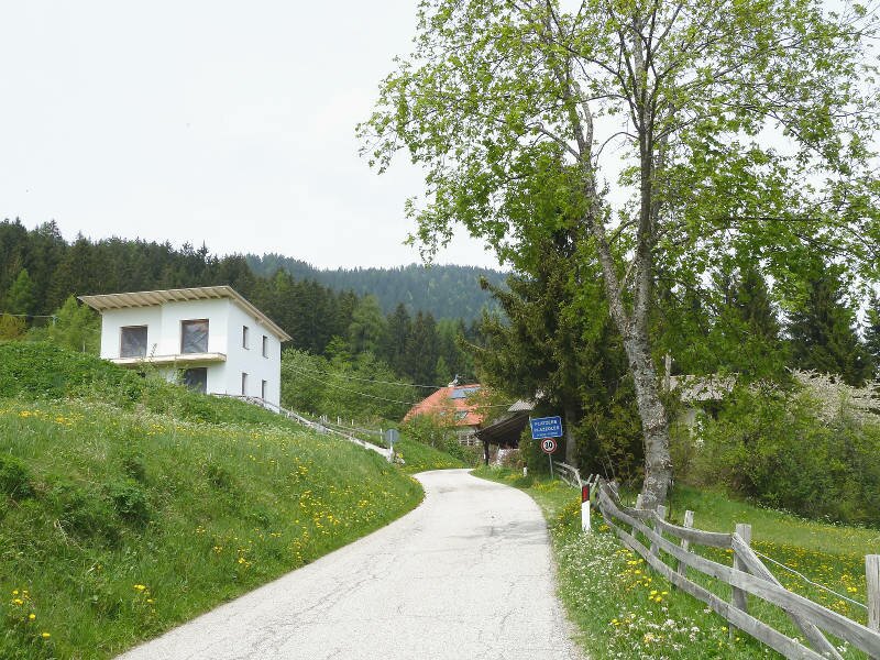
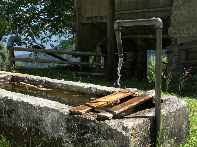
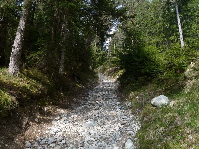
Plazzoles is located at 1,278 m a.s.l. and offers various possibilities for hikes, e.g. to the Plazzoles Saddle
Image gallery: Plazzoles

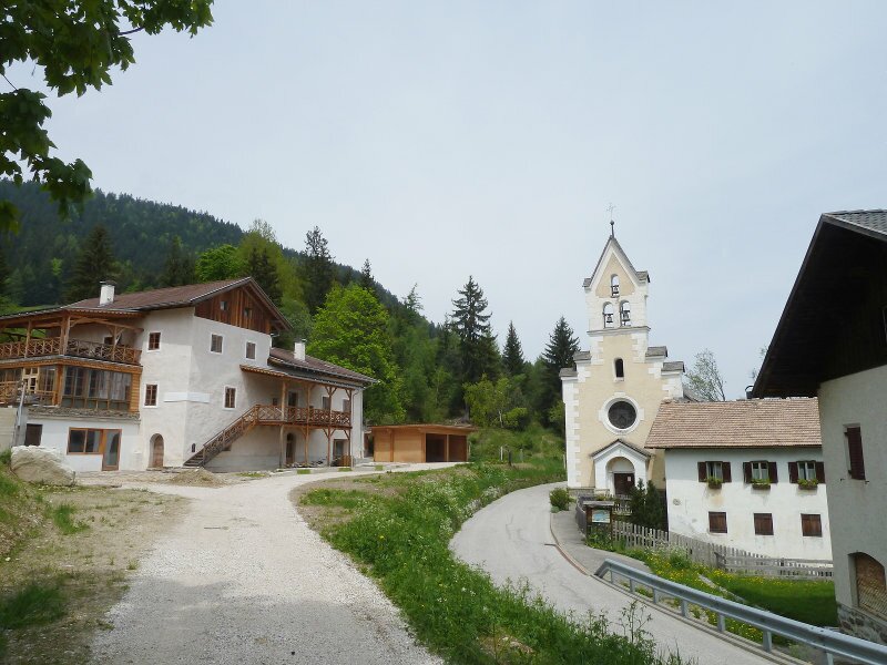
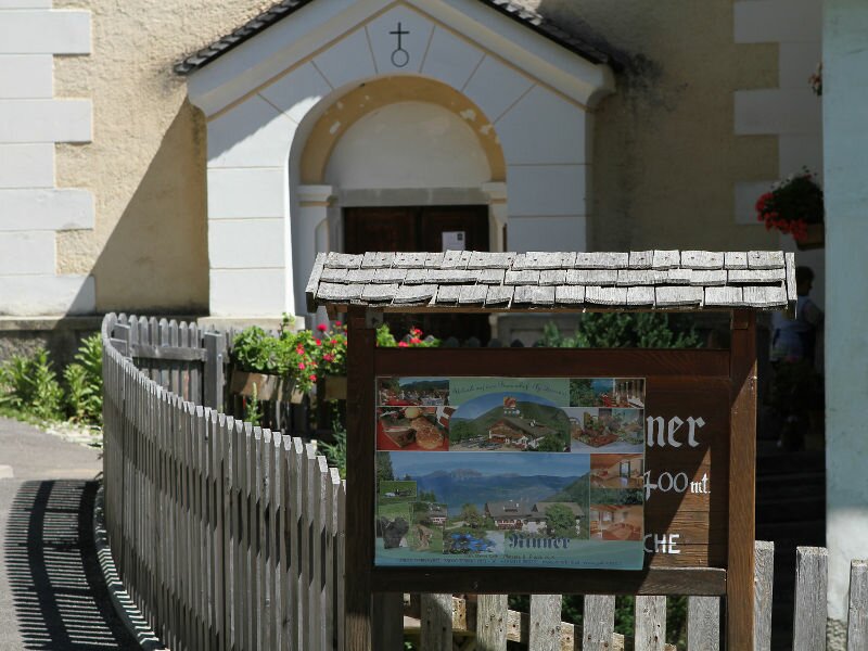
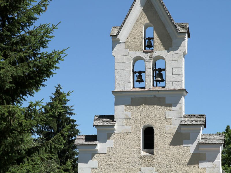
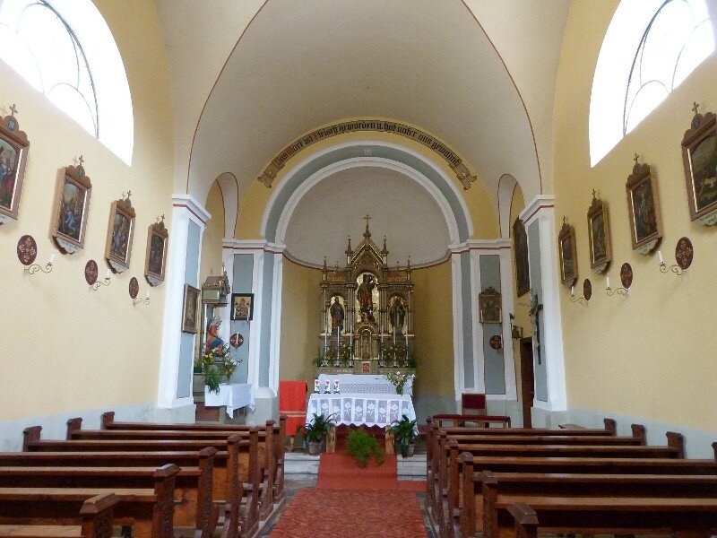
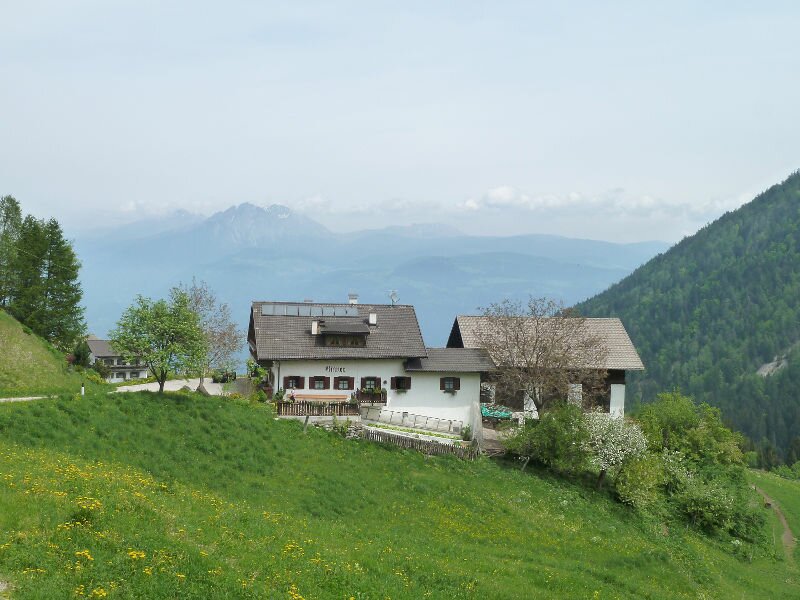
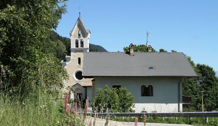
The hamlet Plazzoles is the highest-located village that belongs to the municipality of Tesimo. It can be reached via the road to Passo Palade - turn right after having passed Caprile. The main sight of Plazzoles is its St Sebastian Church, dating back to the 16th century. After it was destroyed by a fire, the sacred building was rebuilt in neo-Romanesque construction style in 1898.
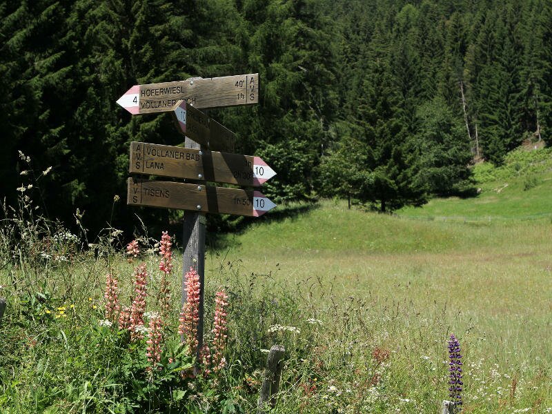
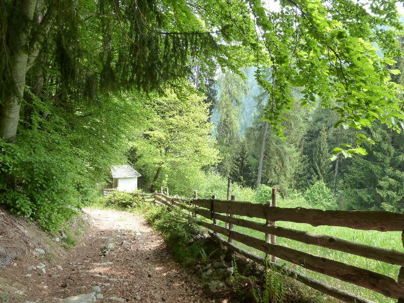
The surroundings can best be discovered on foot. Caprile, another village that belongs to the municipality of Tesimo and located some 200 m of altitude below Plazzoles, can easily be reached on foot. Also worthwhile is a walk to the Plazzoles saddle (Platzer Jöchl), a popular mountain bike destination, as well as to Tesimo or Foiana via the Gallhöfe farms (approx. 3 hours).


