We visit magnificent alpine meadows on the slopes of the Giovo Ridge above Stulles and stop at the new Bockhütte mountain hut
Image gallery: Circular hike Stulles Meadows
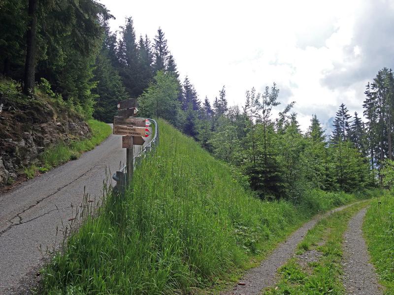
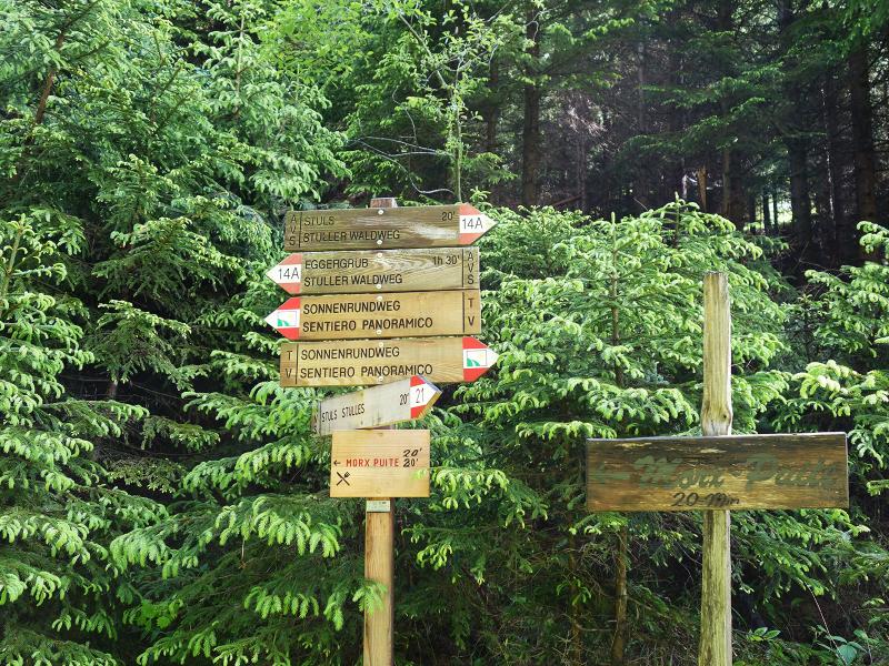
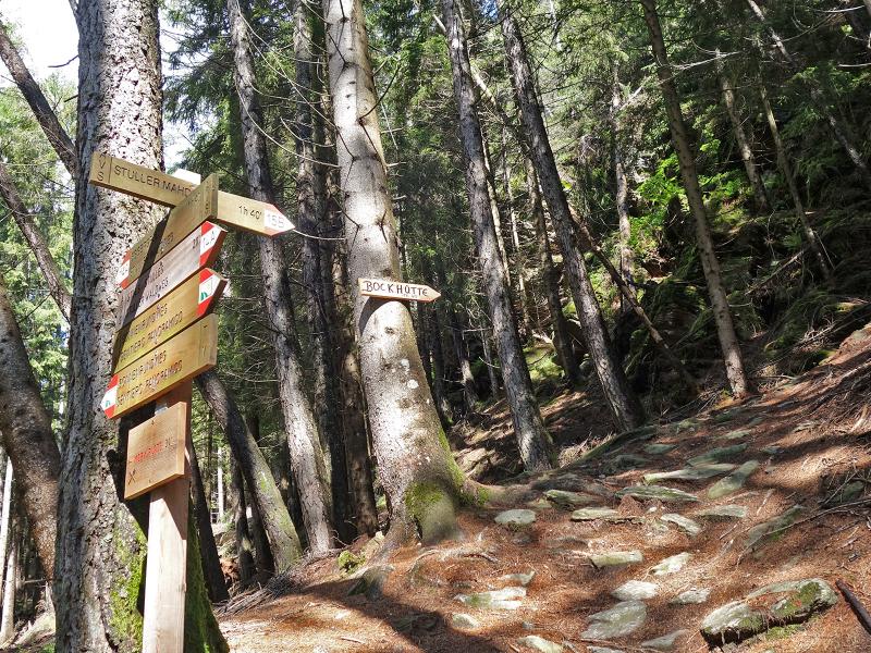
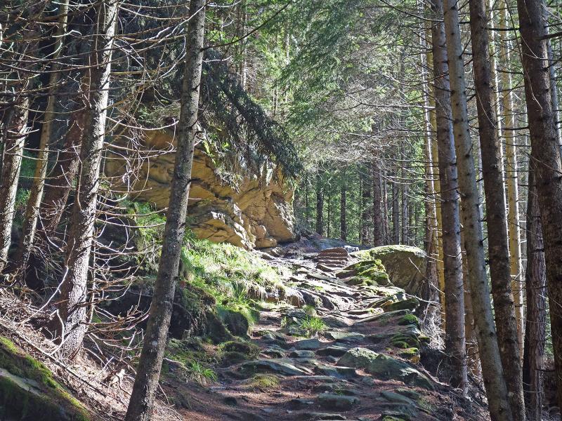
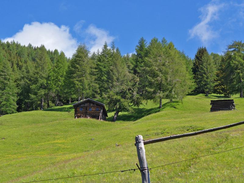
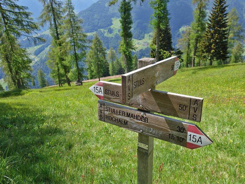
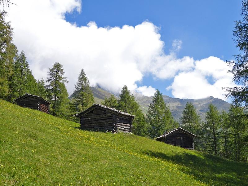


The starting point of our little circular walk is the car park "Hochegg" above Stulles. We follow path 14B downhill to the "Morx Puite" inn. Here we follow the asphalt road about 100 m uphill until the junction of the Stulles forest path (No. 14A) and follow it towards Stulles. We walk slightly downhill through the forest until we reach the turnoff of the path 15B (Bockhütte, Stuller Mahder). Here we now walk uphill through the dark forest. The steepest parts are equipped with stone steps.
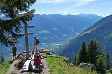
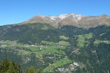
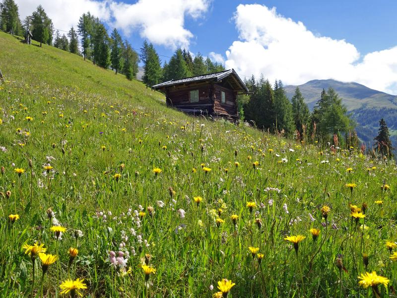
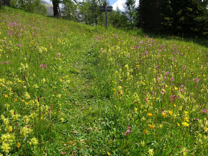
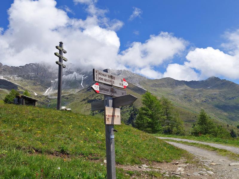
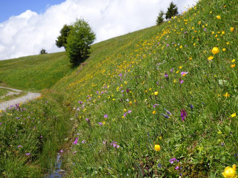
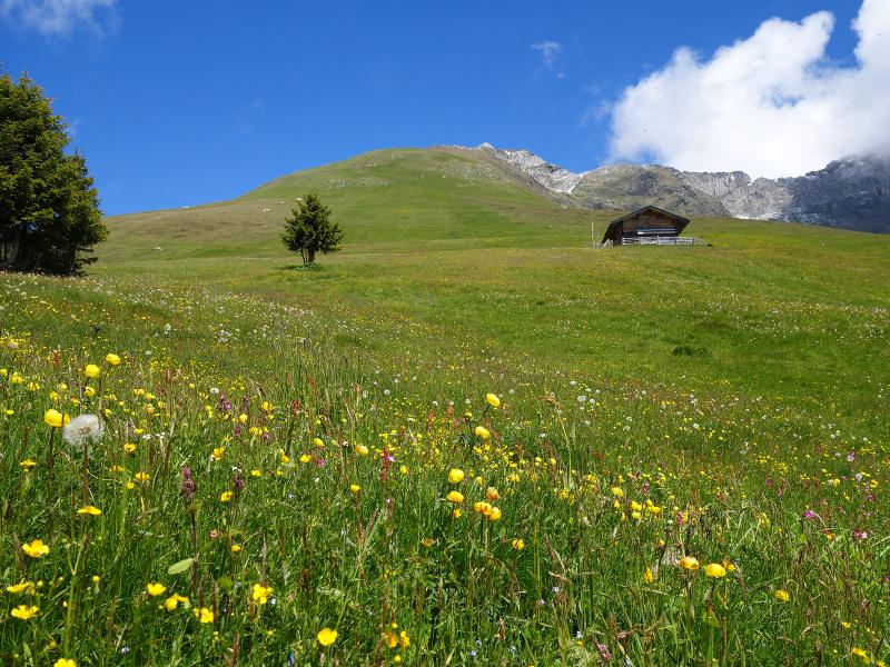
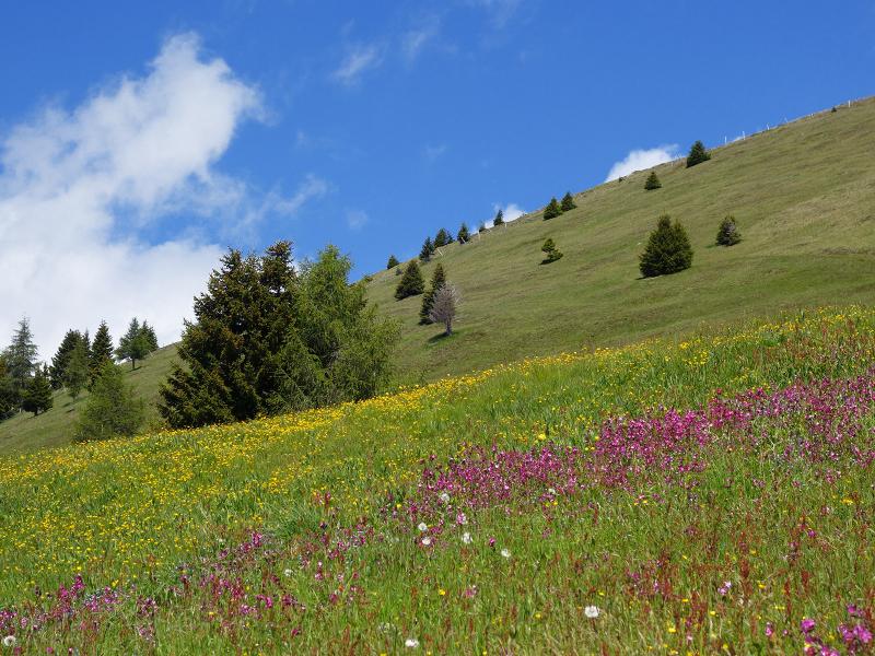
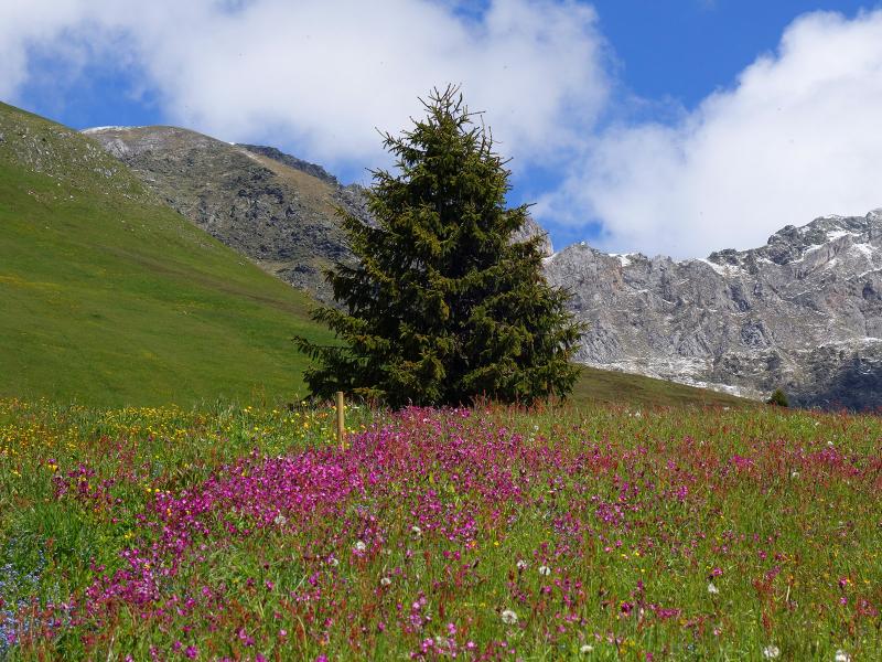
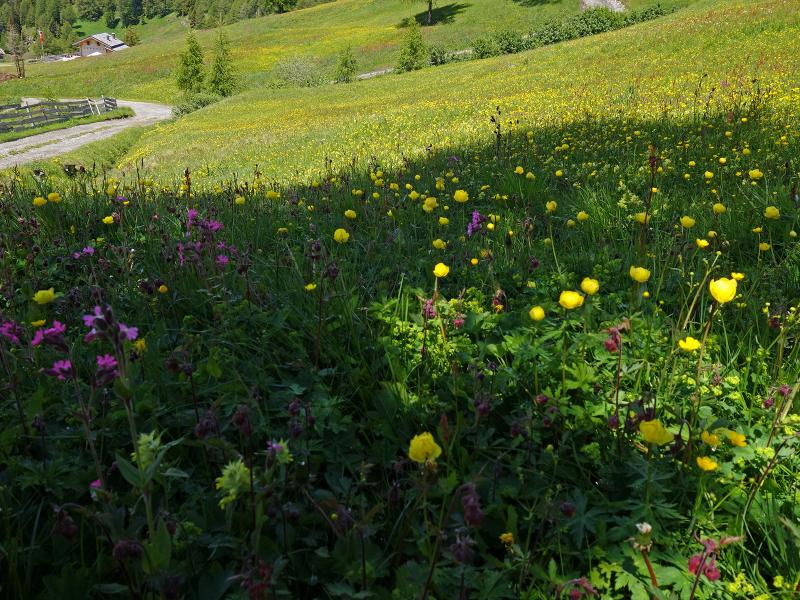
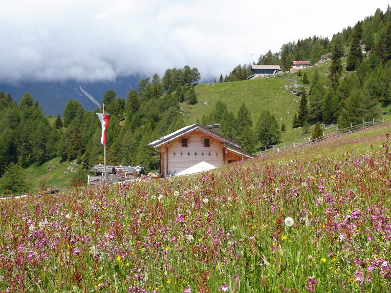
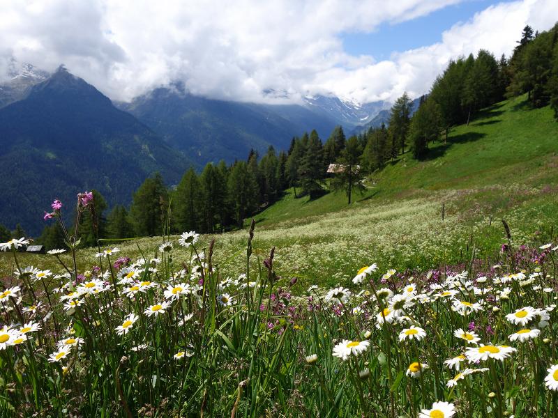
After almost 200 metres in altitude we reach the first meadow. The path continues steeply uphill and merges with path 15A. At about 1,950 m a.s.l. we have reached the highest point of the circular tour: At the weather cross, our path leads into the alpine road "Stuller Mahder". We follow the signpost to the Bockhütte mountain hut, i.e. towards west. We enjoy a leisurely walk through a beautiful meadow landscape, now in June covered with colourful meadow flowers: carnations, globeflowers, buttercups, in some places also primroses, gentians, orchids and anemones. The view on the Tessa group and the Ötztal mountains around the Val di Plan valley is also magnificent - but during our visit it is a bit clouded by rising clouds of fog.
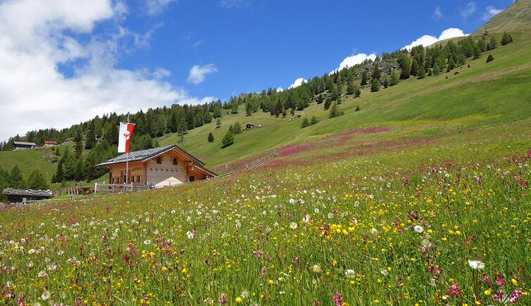
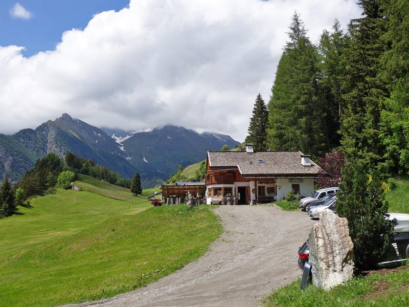
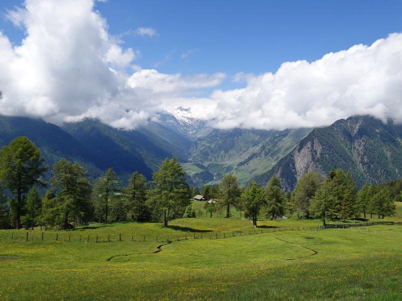
At lunchtime we reach the Bockhütte mountain hut, which has been providing food and drink for hikers since 2019. About 100 metres higher up is the Egger Grub Alm, which also offers traditional Tyrolean food and can be reached in half an hour's walk. From the Bockhütte we walk towards west along the alpine path, where the path leads to the forest and joins the asphalt mountain road, which we now follow down to the Hochegg car park. This is the end of our short circular hike.
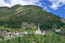
By the way: This hike can also be done from the village centre of Stulles: At the church you first follow path no. 16, then 15A; about 100 extra metres in altitude and about 20 more minutes are needed.
Author: AT
-
- Starting point:
- Stulles, "Hochegg" car park
-
- Overall time:
- 02:50 h
-
- Total route length:
- 7,2 km
-
- Altitude:
- from 1.447 m to 1.950 m
-
- Altitude difference:
- +502 m | -502 m
-
- Route:
- Hochegg - Morx Puite - Stuller Mahder meadows - Bockhütte mountain hut - Hochegg
-
- Signposts:
- no. 14, 14A, 15B, 15A, 15B, 14B
-
- Resting points:
- Morx Puite, Bockhütte; with diversion: Egger Grub Alm
-
- Recommended time of year:
- Jan Feb Mar Apr May Jun Jul Aug Sep Oct Nov Dec
-
- Download GPX track:
- Circular hike Stulles Meadows
If you want to do this hike, we suggest you to check the weather and trail conditions in advance and on site before setting out.