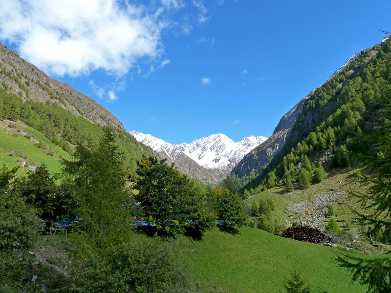
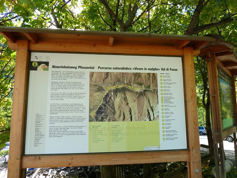
From the Val Senales the 7th stage leads into the Val di Fosse, crossing the beautiful Gruppo di Tessa Nature Park, South Tyrol’s largest nature park
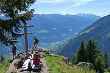
Image gallery: Alta Via di Merano Monte S. Caterina - Casera di Fuori
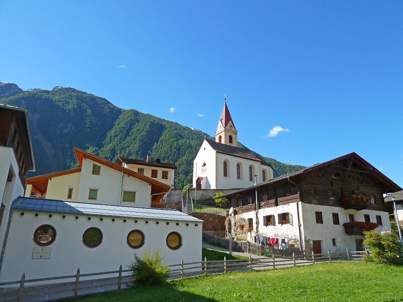
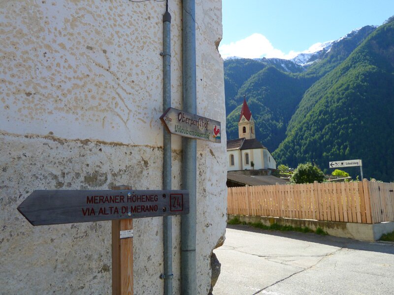
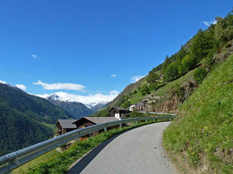
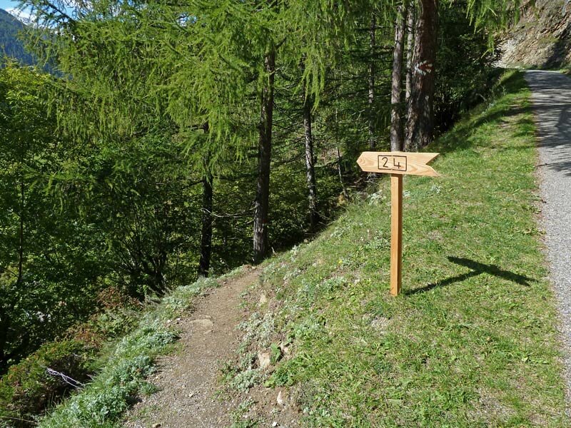
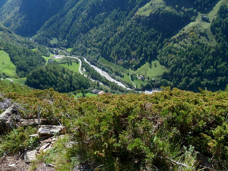
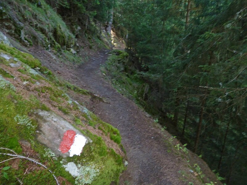
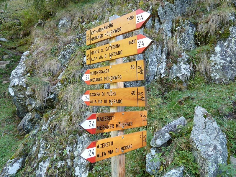
We start our hiking tour in the village of Monte Santa Catarina in the lower Val Senales, which we have reached by bus from Naturno. Following trail n° 28 towards Nassereto, crossing the beautiful green meadows above Monte Santa Catarina, we finally reach trail n° 24, the Alta Via di Merano.
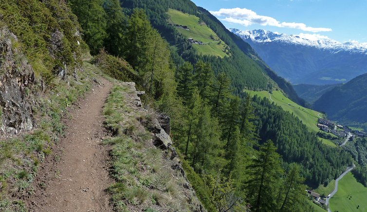
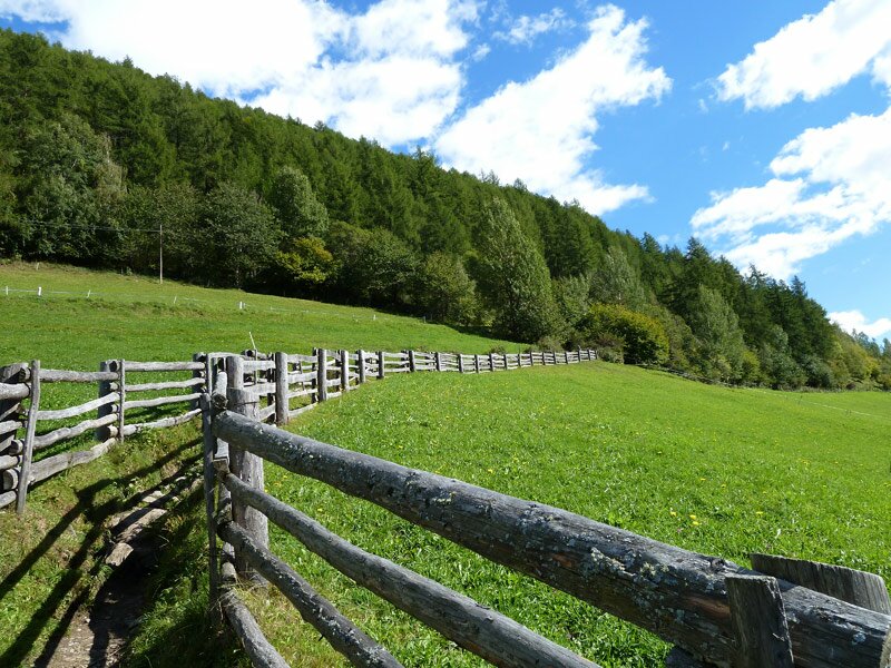
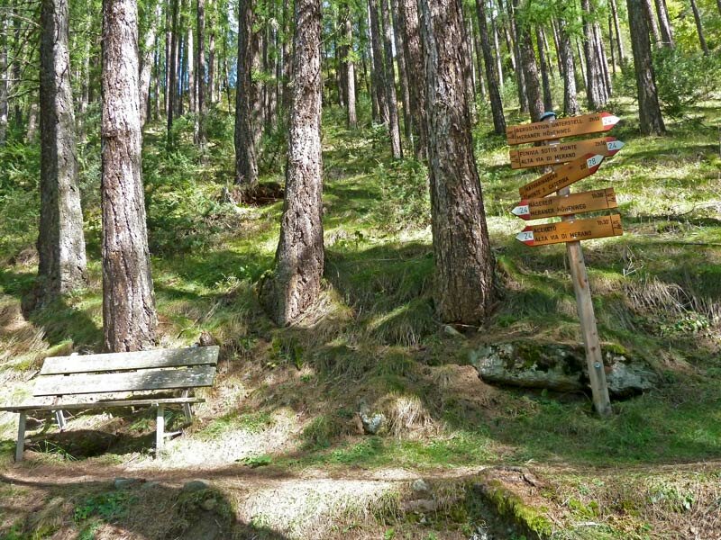
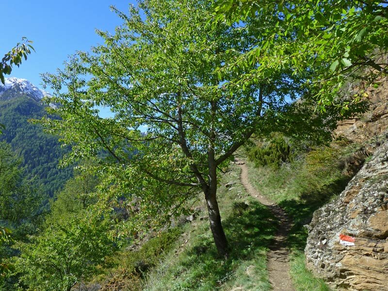
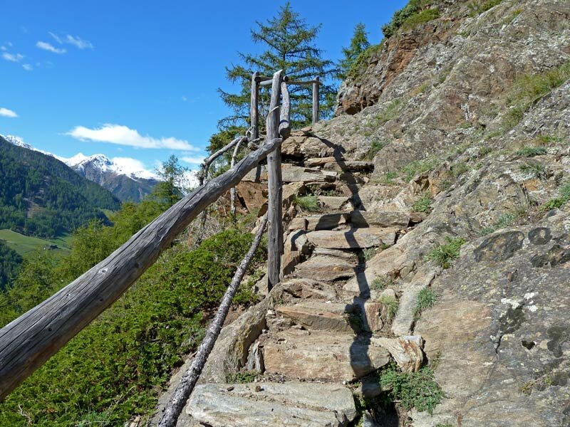
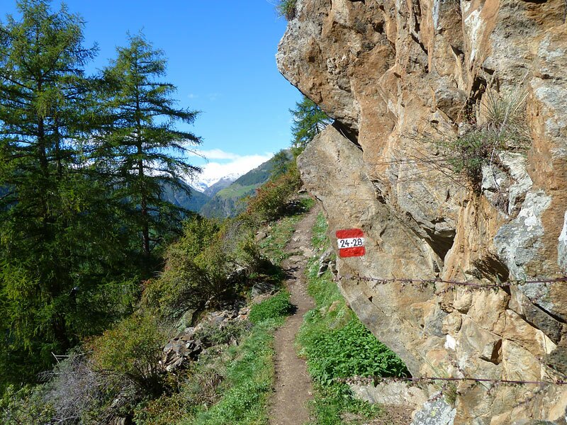
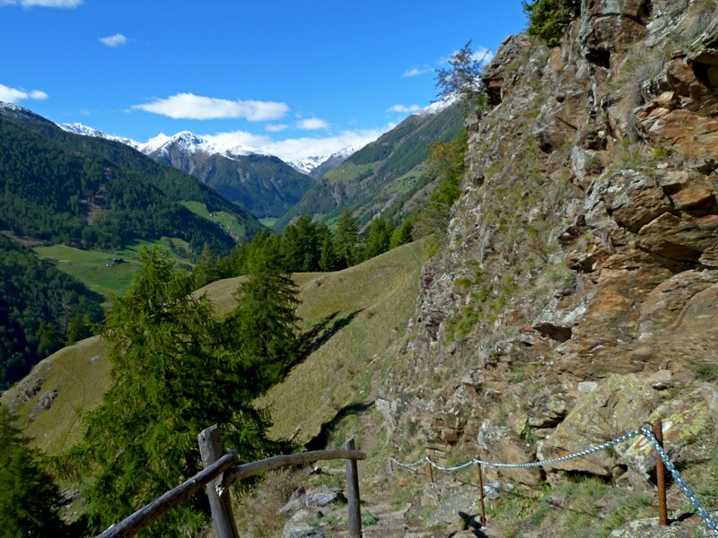
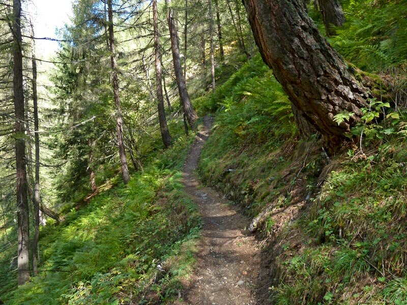
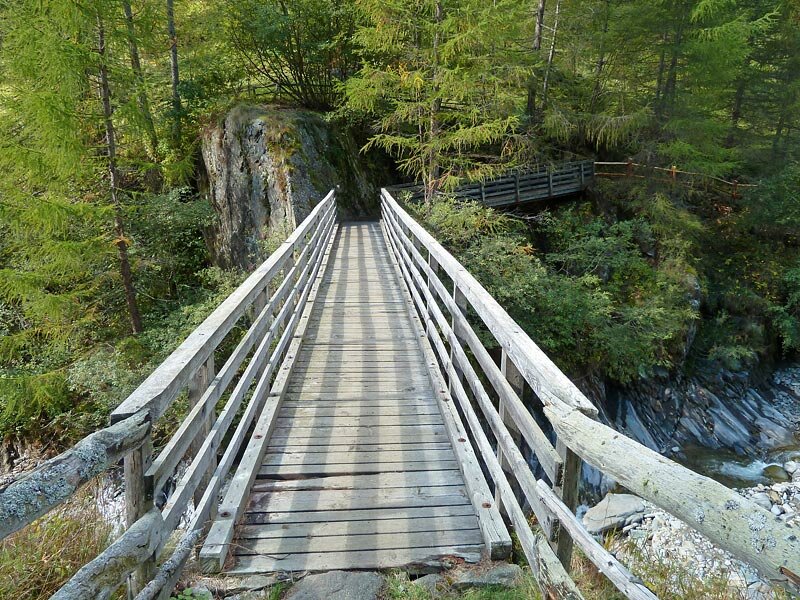
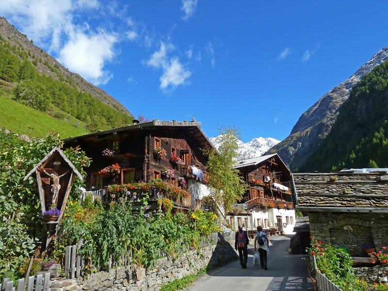
We hike gently upwards towards north, through a dense larch wood. Having passed some beautiful mountain farms, the trail gets narrower and leads us into the forest again, along rugged rocks and across steep meadows, up and down several stone steps, until we finally reach the large meadow above the Tumlhof farm, from where the trail branches off to the right into the Val di Fosse.
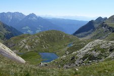
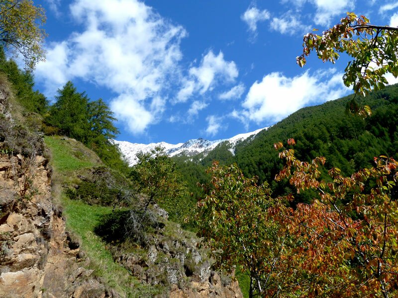
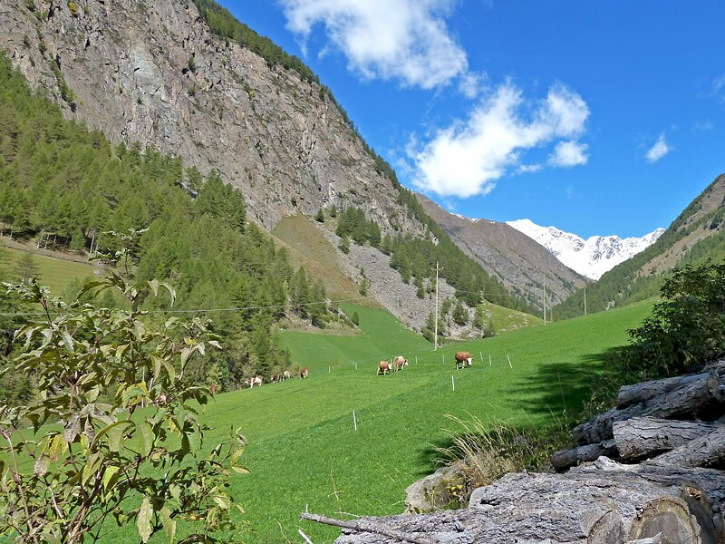
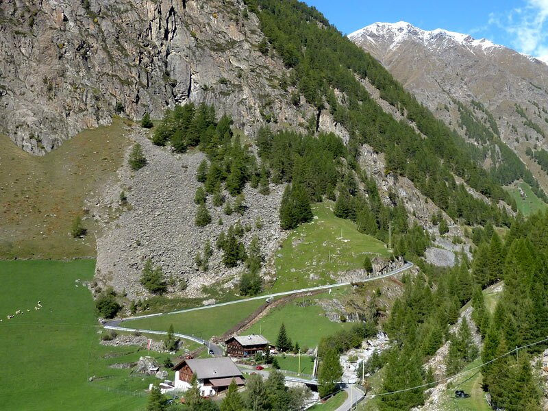
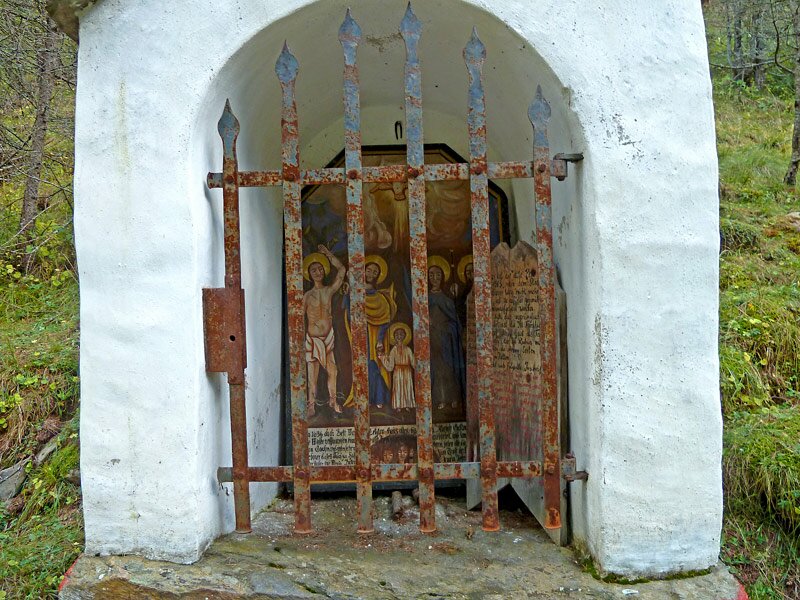
Consequently, the trail leads us through another larch wood and crosses some streams until it reaches the area around the Nassreid farm, where the valley gets wider and greener. Hiking across the steep slopes of the Val di Fosse (Pfossental) along a small brook, we pass the plague chapel and finally reach the beautiful alpine pastures of Casera di Fuori (Vorderkaser). From here, we get back to the valley by the taxi shuttle which we have ordered in advance.
Important Notice: Closure on the Alra Via
The trail section between Monte Santa Caterina (Katharinaberg) and the Val di Fosse is currently closed due to the risk of rockfall. Reopening is tentatively scheduled for spring 2026. The following options are available to hikers:
-
Detour: From Sellboden via the Tumlhof farm and along the road into the Val di Fosse to the Nassreidhof farm (additional walking time: approx. 1.5 hours).
-
Alternative via Bus: From Monte Santa Caterina with the 261 bus line (hourly service) to the Val di Fosse junction stop, and continue on foot from there.
-
- Starting point:
- Monte Santa Catarina in the Val Senales
-
- Overall time:
- 03:00 h
-
- Total route length:
- 7,5 km
-
- Altitude:
- from 1.247 m to 1.687 m
-
- Altitude difference (uphill | downhill):
- +588 m | -148 m
-
- Route:
- Monte S. Caterina - Nassreid - Casera di Fuori nella Val di Fosse
-
- Signposts:
- n° 24 (Alta Via di Merano)
-
- Destination:
- Casera di Fuori (Vorderkaser)
-
- Resting points:
- Jägerrast Voderkas
-
- Recommended time of year:
- Jan Feb Mar Apr May Jun Jul Aug Sep Oct Nov Dec
-
- Download GPX track:
- Alta Via di Merano Monte S. Caterina - Casera di Fuori
If you want to undertake this hike, we recommend you to check the weather and trail conditions in advance and on site before setting out.