An easy hiking tour in the lower Val Venosta valley leads along the Latschander water channel from Laces to Ciardes
Image gallery: Latschander Waalweg path
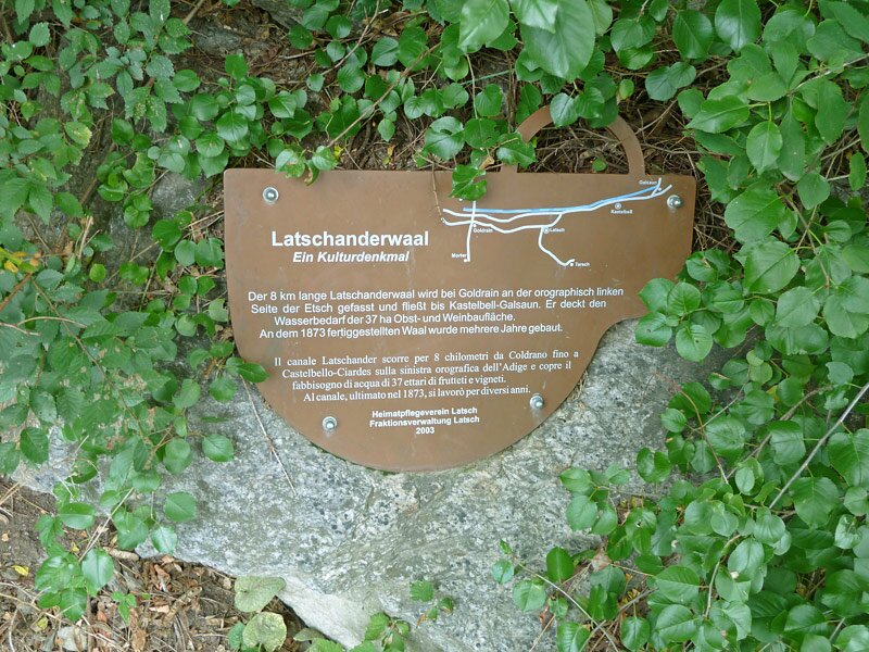
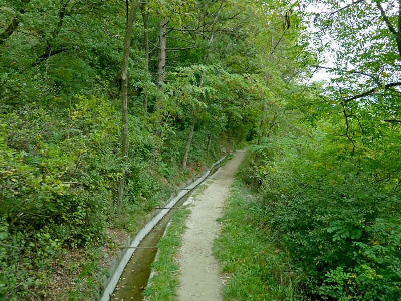
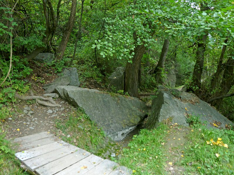
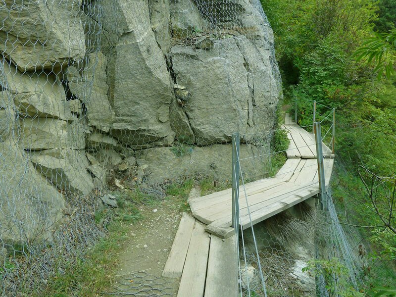
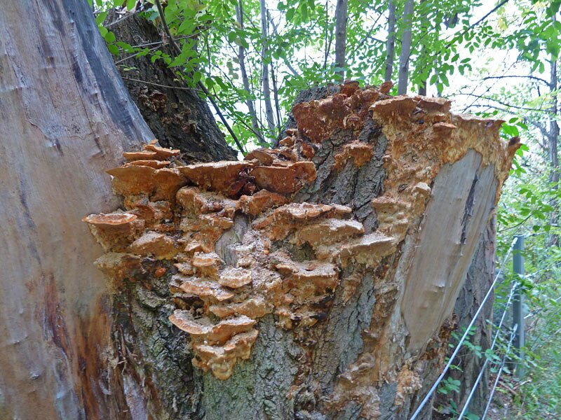
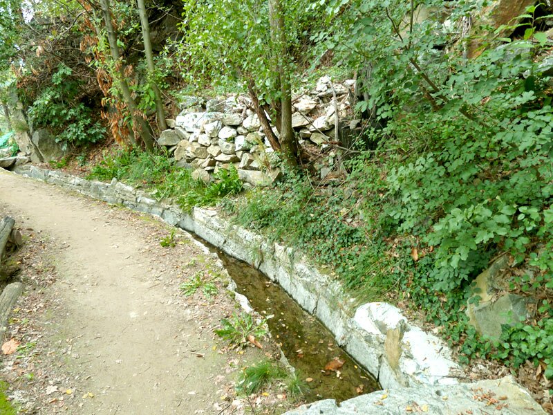
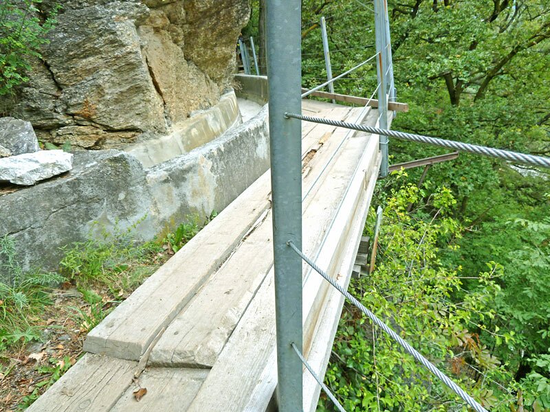
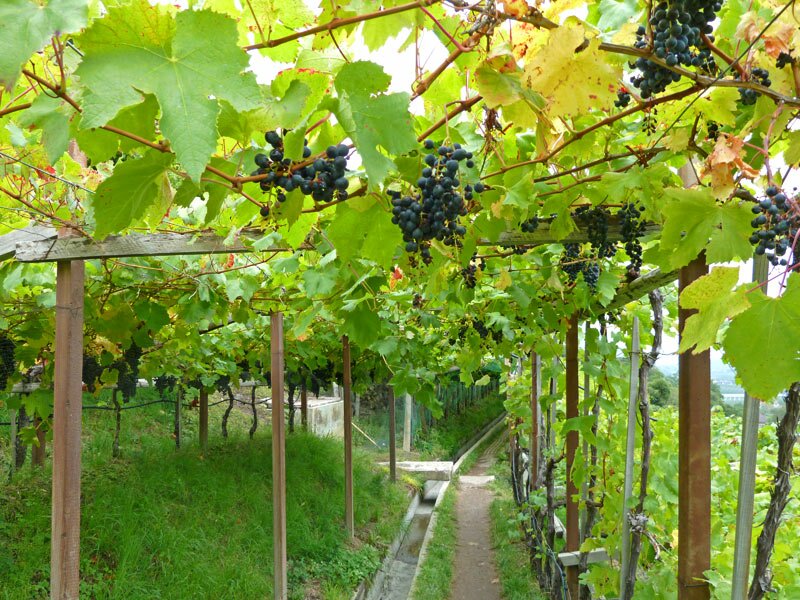
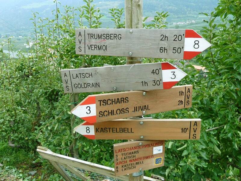

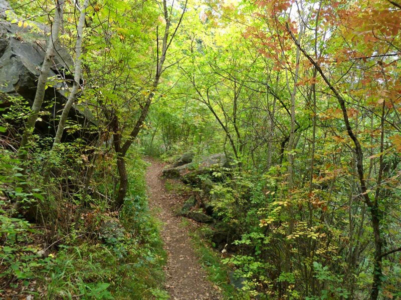
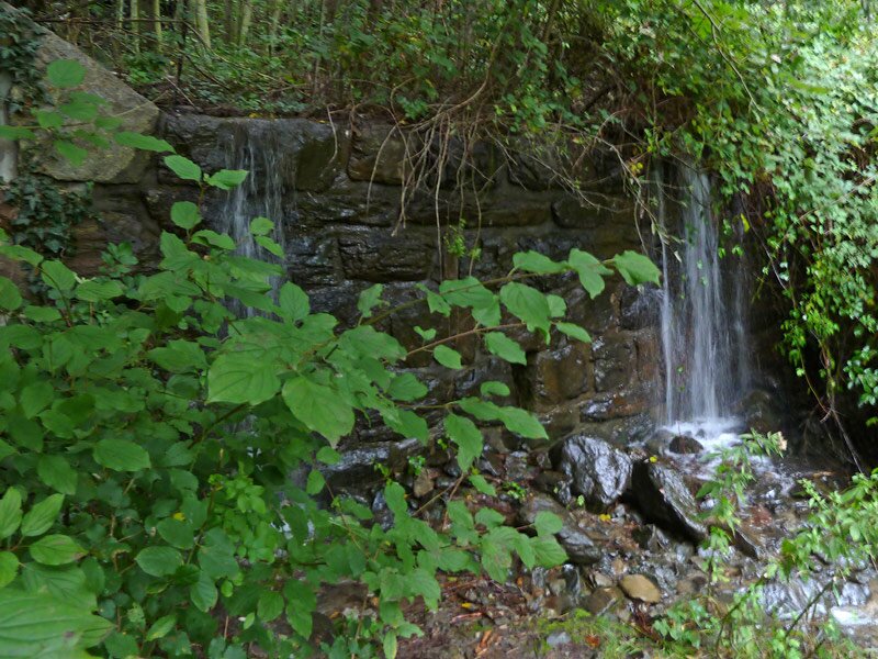
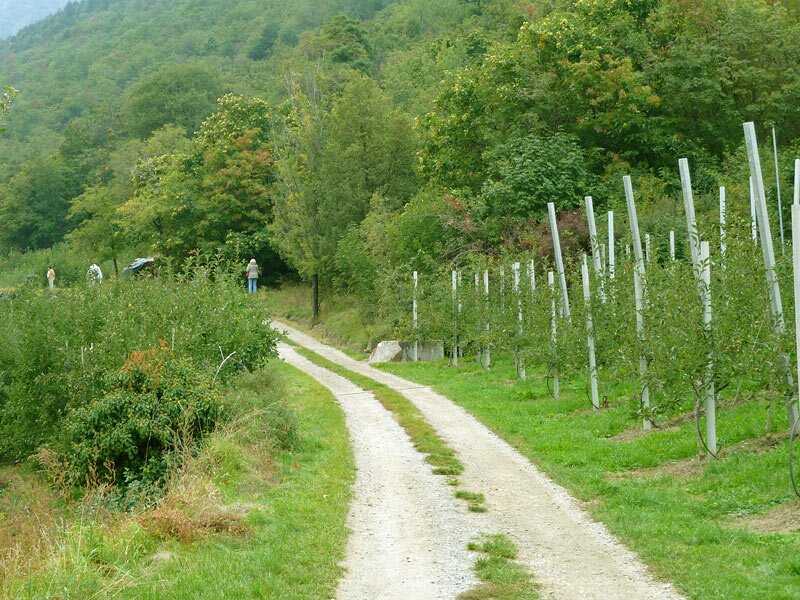
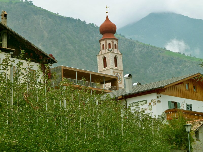
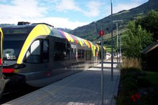
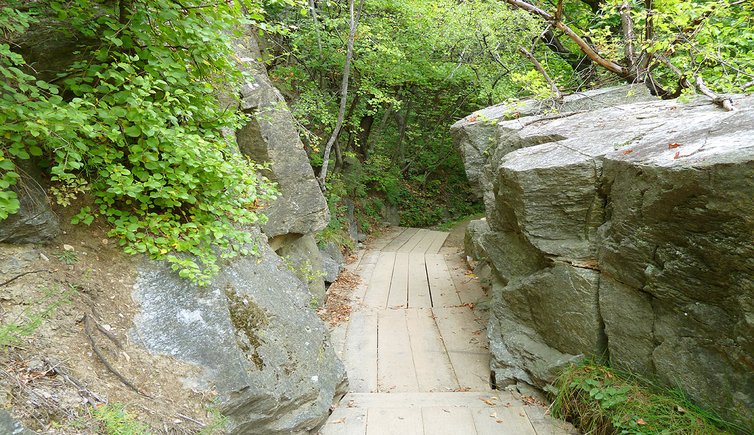
From Merano, we reach the village of Laces by the Val Venosta Train. From the centre of Laces, we follow the main road towards west for about 10 minutes until we turn right into the Tisser road and reach the beginning of the Latschander Waalweg path, which will finally lead us to Castelbello and Ciardes. The first section of the Waalweg path leads through the deciduous forest, parallel to the main road of the Val Venosta. The moderate traffic disturbs the idyll a little at first, but the road and the channel become further and further apart.
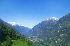
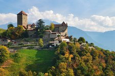
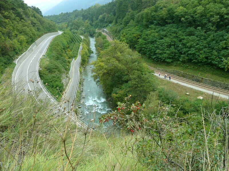
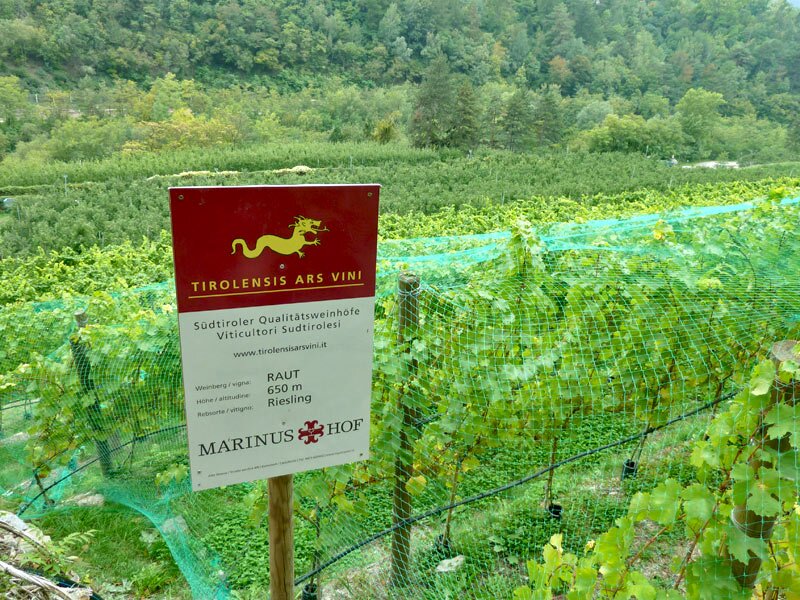
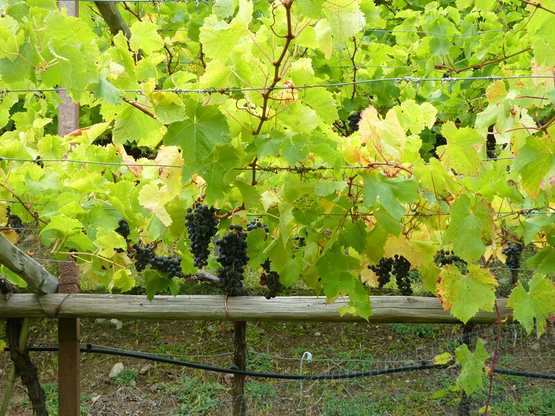
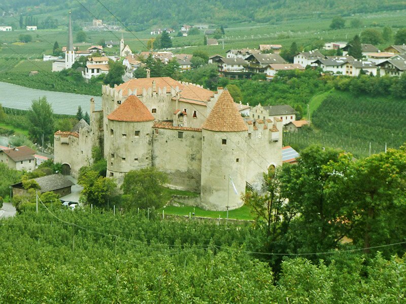
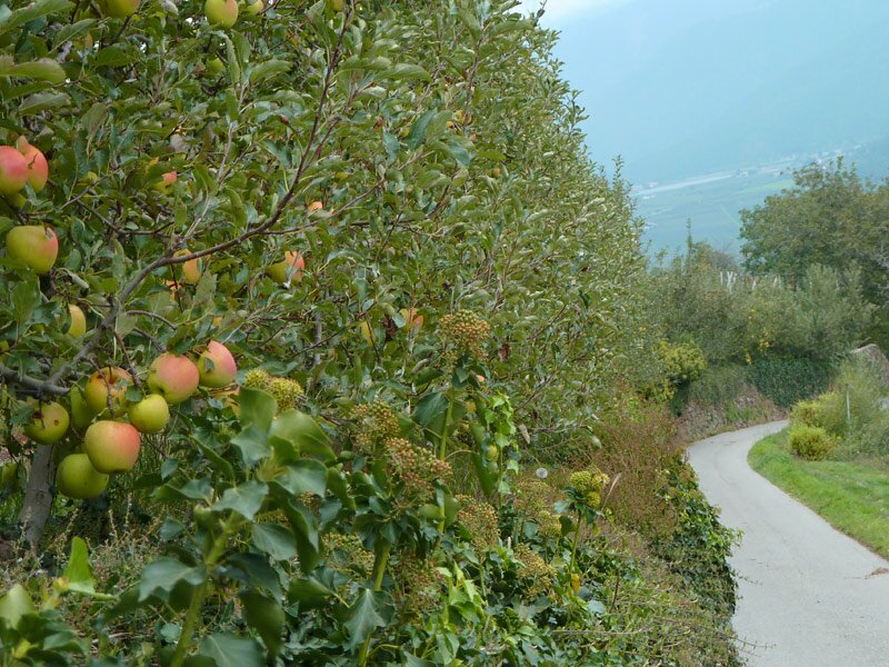
Below us we see the Adige river running through a narrow ravine (called 'Latschander'), the railway, the cycle path and the main road, while the above fruit orchards stretch until Monte Tramontana. Having left the forest, the trail crosses the vineyards of the Val Venosta. Here, at 650 m a.s.l., the Riesling grape is grown. The next section of the trail offers nice views on the village of Castelbello with its beautiful castle.
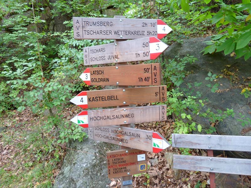
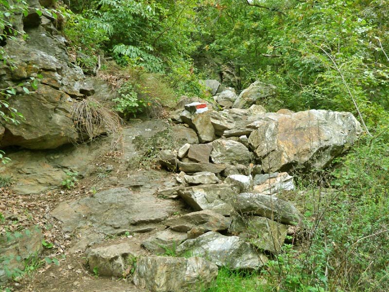
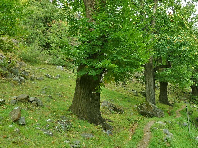
Crossing an apple orchard, we reach the rio Colsano stream, where the Latschander Waalweg path ends. We continue our hiking tour on the Hochgalsaunweg (trail no. 3) to Ciardes. On a stony section, this trail leads quite steeply upwards for about 100 metres. Finally, after crossing some beautiful chestnut orchards, we reach the village of Ciardes and take the train back to Merano.
Author: AT
Experienced: October 2010
Last update: 2026
-
- Starting point:
- Laces
-
- Overall time:
- 03:00 h
-
- Total route length:
- 10,5 km
-
- Altitude:
- from 558 m to 702 m
-
- Altitude difference (uphill | downhill):
- +170 m | -239 m
-
- Signposts:
- Latschanderwaal, Hochgalsaunweg, 3, 1A
-
- Destination:
- Ciardes
-
- Recommended time of year:
- Jan Feb Mar Apr May Jun Jul Aug Sep Oct Nov Dec
-
- Download GPX track:
- Latschander Waalweg path
If you want to undertake this hike, we recommend checking the weather and trail conditions in advance and on site before starting this hike!