Above the village of Lagundo, there is the Lagundo Waalweg path, a pleasant promenade which takes less than 2 hours
Image gallery: Lagundo Waalweg path
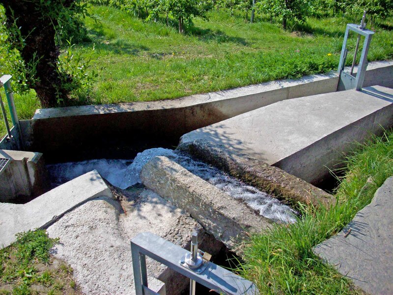
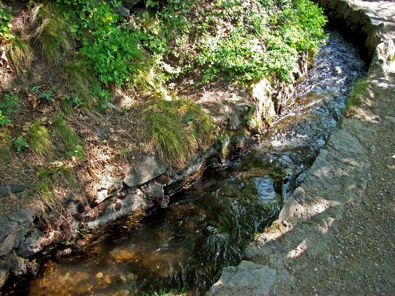
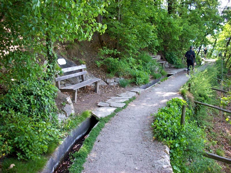

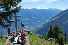
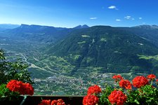
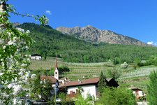
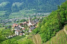
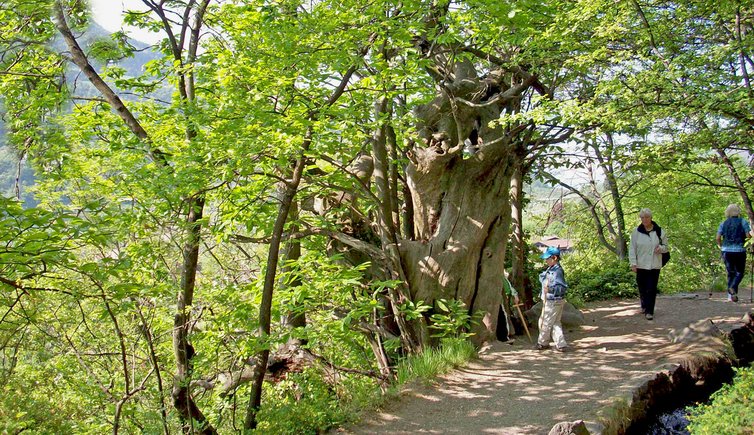
The Lagundo Waalweg path, snaking its way above the homonymous locality in the surroundings of Merano, features several great viewpoints providing a panoramic view on Val d'Adige. This path is about 5 km long, starts at Plars and runs via Lagundo to Quarazze. Parts of the path is still in its original state and also the water still runs in its original canal.
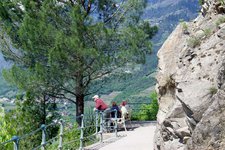
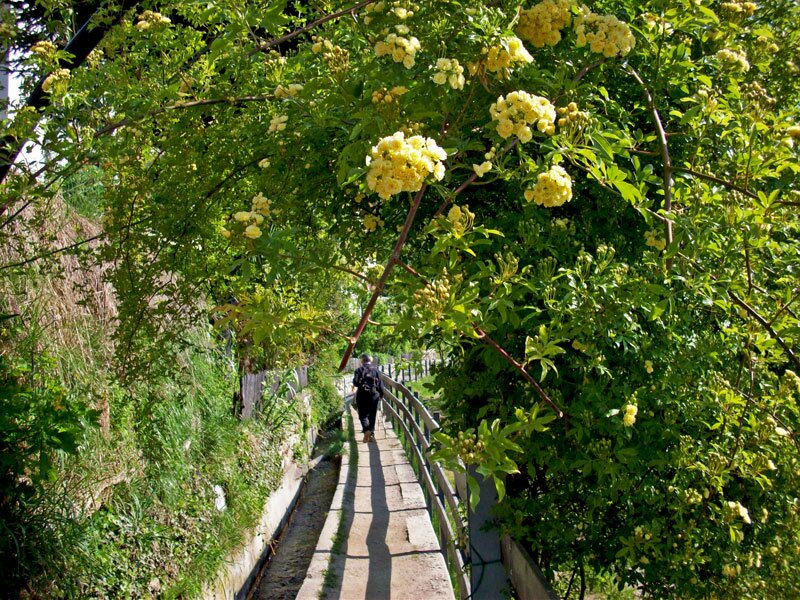
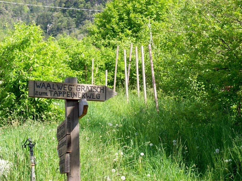
Our starting point is Tel. The village belongs to Parcines, plenty of parking spaces, bus stops and also a train station make it easy to reach from all over South Tyrol. We follow the 'Alte Landstraße' road and walk towards Lagundo, on the pavement up to the parking 'Algunder Waal'. The entrance to the Lagundo Waalweg path can not be missed. After crossing the road to Plars di Sopra also the irrigation canal appears. The calming gurgle of the water will accompany us for quite a while.
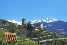
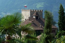
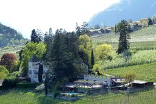
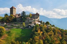
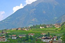
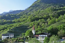
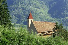
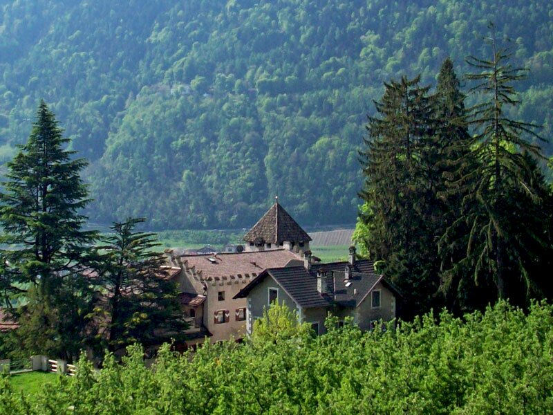
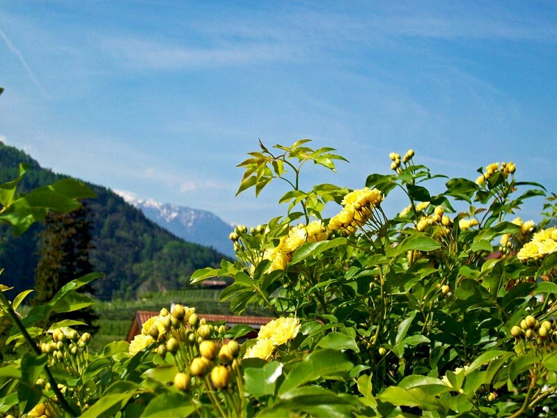
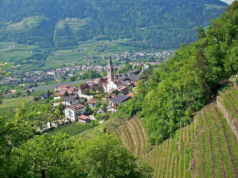
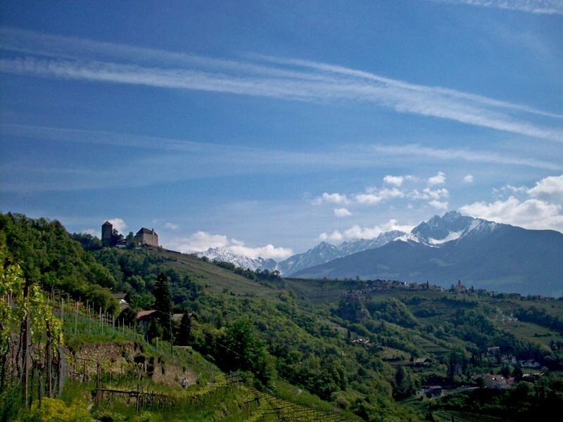
At Plars di Sopra the Waalweg path leads through fruit orchards, we have a beautiful view on the Castle of Plars before we enter the broadleaved forest again. Below us the villages of Foresta and Lagundo. Past the old and very beautiful village of Riomolino we walk further through the vineyards towards Merano. It's end of April, the still snowy peaks of the Cervina and Ivigna mountains are awesome.
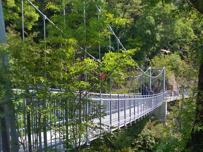
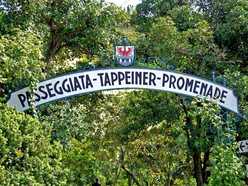
Coming nearer and nearer to Merano more and more palm trees, cypresses and olive trees conjure a touch of Tuscany into the landscape of vineyards. At the chain bridge the irrigation canal disappears. We want to walk further and take the Tappeiner Promenade towards Merano-Quarazze. At Merano-Maia Alta we leave the promenade and walk down to the village, where we take the public bus to come back to the parking space at Tel.
Please note: of course the Waalweg path can also be done in the reverse direction (Merano – Lagundo – Plars di Sopra – Tel). On weekends as wells as in spring and autumn the Waalweg path is quite busy. Please pay attention, the path is not so wide! If you have to avoid other people watch out the water and the hillside!
Author: AT
Experienced: April 2009
Last update: 2026
-
- Starting point:
- Tel, Strada vecchia direction Lagundo (parking, bus stop)
-
- Overall time:
- 01:30 h
-
- Total route length:
- 4,9 km
-
- Altitude:
- from 409 m to 509 m
-
- Altitude difference (uphill | downhill):
- +10 m | -100 m
-
- Signposts:
- Algunder Waalweg / Roggia di Lagundo, N. 7, 25A, 29, 29A
-
- Destination:
- Quarazze (bus stop Tappeiner Promenade)
-
- Track surface:
- trail
-
- Recommended time of year:
- Jan Feb Mar Apr May Jun Jul Aug Sep Oct Nov Dec
-
- Download GPX track:
- Lagundo Waalweg path
If you want to undertake this hike, we recommend checking the weather and trail conditions in advance and on site before starting this hike!