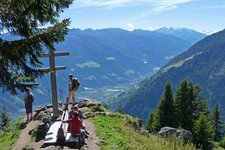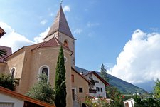
This pleasant promenade makes you enjoy the village of Marlengo from a different perspective
Image gallery: Marlengo Waalweg path

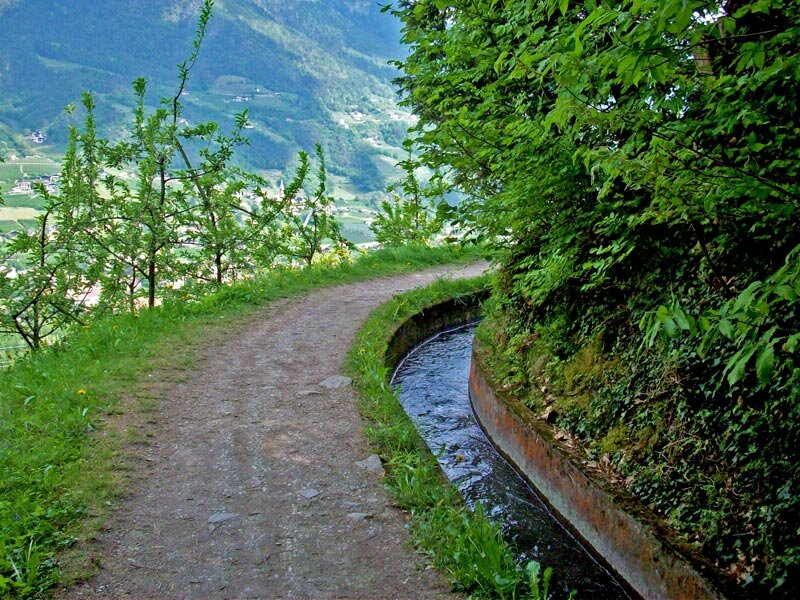
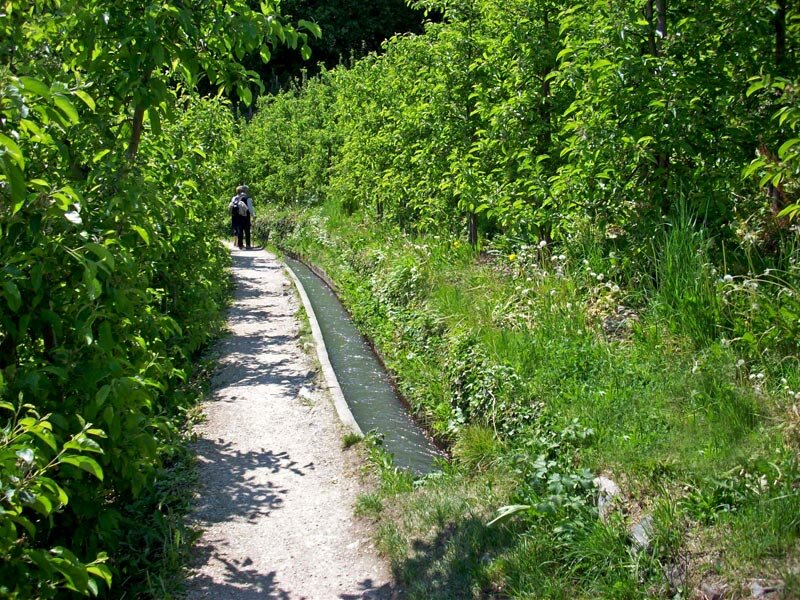
This path proceeds flatly along the irrigation channel and is well-suited for family excursions. Featuring a length of 11 km the Marlengo Waalweg path is also the longest one of South Tyrol. It starts at Tel (municipality of Parcines), snakes its way above Foresta, Marlengo and Cermes and ends at Lana di Sopra.
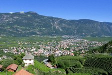
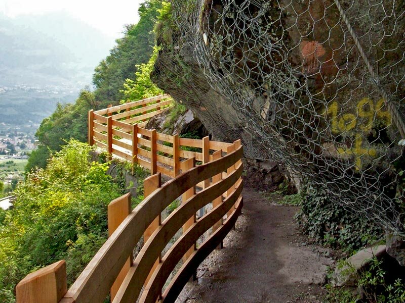
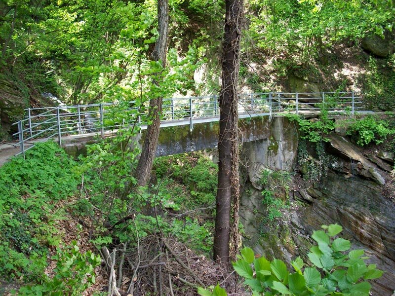
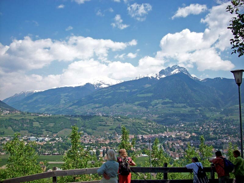
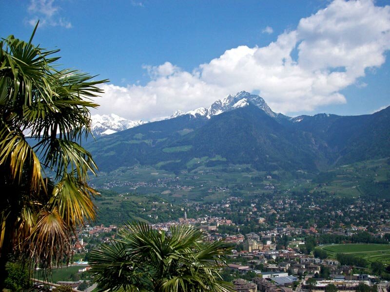
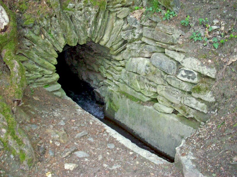
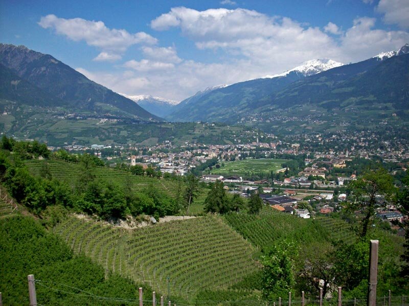
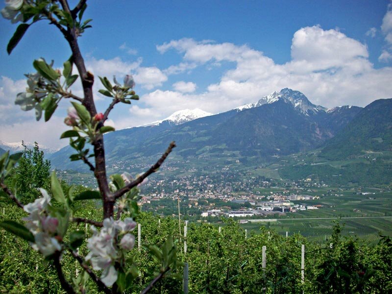
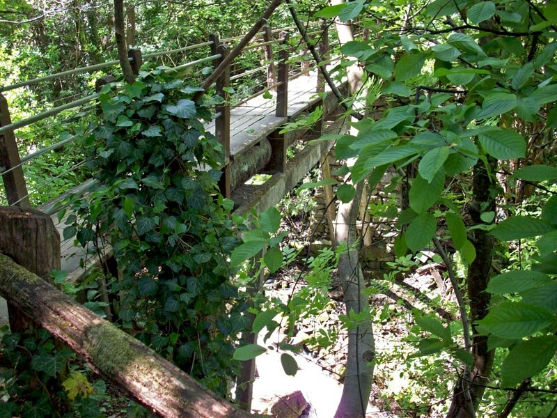
Our starting point is Tel. Near the train station of Tel, where we find plenty of parking spaces next to the hydropower station, we part of our excursion is a bit adventuresome: wooden bridges were fixed on the cliffs of the Montetramontana (Nörderberg) above Lagundo, below the water flows through a tube. After having passed the safety cliffs we can enjoy a gorgeous panoramic view on the area of Merano.
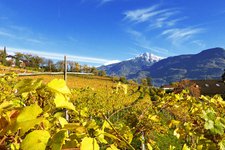
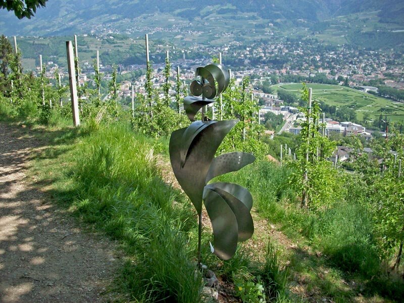
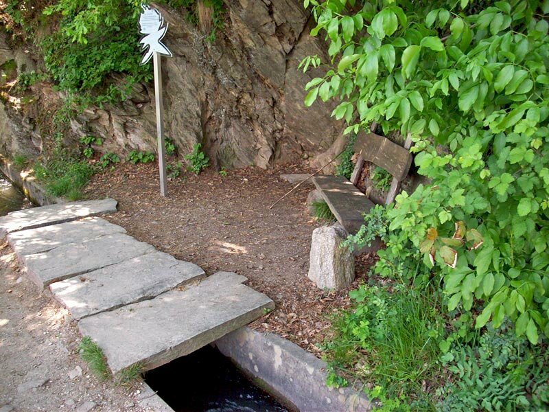
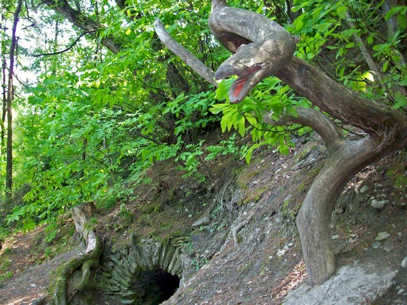
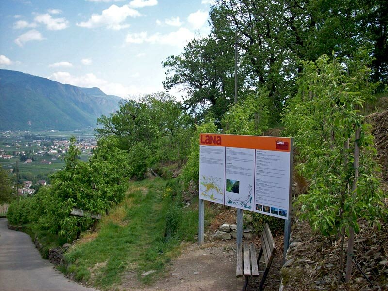
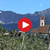
Deciduous forests, meadows and blooming fruit orchards surround the Waalweg path. We reach the area above the village of Marlengo with several stops to take a rest directly along the path. From here we can watch far into the Val Passiria with the snow covered peaks of the Monte Ivigna and Cervina. A part of the path was constructed as an adventure trail, info panels show the flora and fauna of the Montetramontana and a few artworks are positioned along the trail.
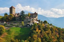
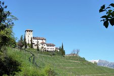
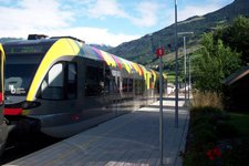
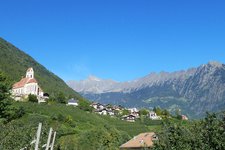
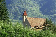
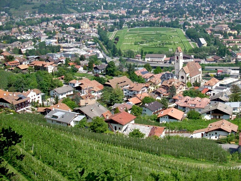
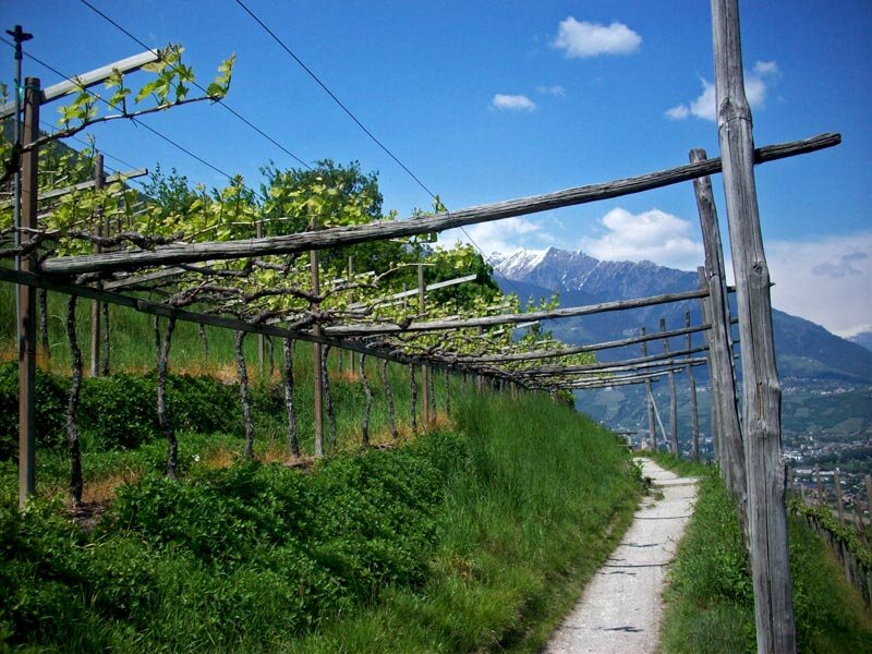
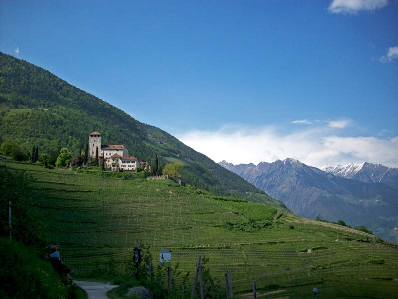
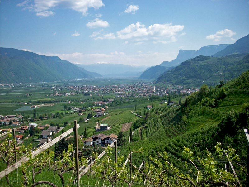
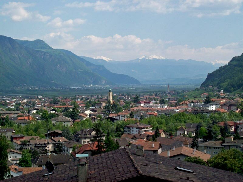
The path leads further through the area near Cermes which is shaped by vineyards. The impressive Monteleone Castle can be regarded perfectly. Now we are above Lana and the path leads down to the village. Also this last part of our walk gives again gorgeous panoramic views on the Val d'Adige valley. The landscape here is totally different to the first parts of the Waalweg path at the entrance of the Val Venosta. At Lana we take the bus back to Merano and Tel where our walking-tour ends.
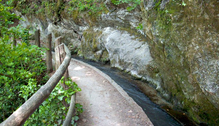
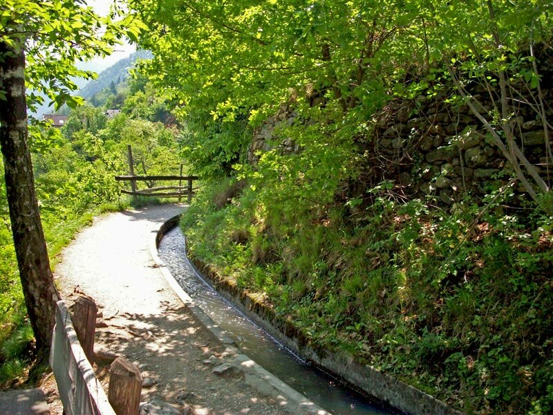
Please note: The Marlengo irrigation channel is one of the most impressive of its kind. Rocks are passed, the water is led over bridges and through tunnels.
Author: AT
Experienced: May 2009
Last update: 2026
-
- Starting point:
- hydroelectric power station of Tel (521 m a.s.l.)
-
- Overall time:
- 03:15 h
-
- Total route length:
- 10,8 km
-
- Altitude:
- from 314 m to 521 m
-
- Altitude difference (uphill | downhill):
- +10 m | -220 m
-
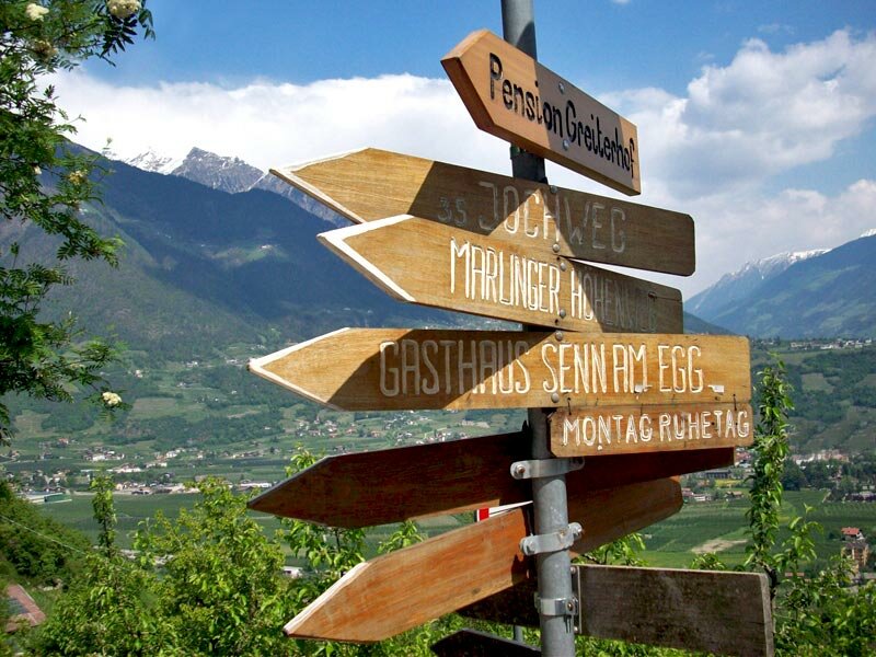
- Signposts:
- no. 29, "Marlinger Waalweg", "Eichhörnchenweg Marling"
-
- Destination:
- Via Raffein road in Lana di Sopra
-
- Resting points:
- Grill Enzian, Waldea restaurant (Waldschenke), Waalheim tavern (all of them in Marlengo), Traudis Imbisstube, Leitenschenke inn (both in Cermes), Oberbrunn farm tavern, Glögglkeller (both in Lana)
-
- Recommended time of year:
- Jan Feb Mar Apr May Jun Jul Aug Sep Oct Nov Dec
-
- Download GPX track:
- Marlengo Waalweg path
-
- More information:
- The overall time shown above refers to the walking time only, not including breaks or stops. The dates apply to the walk along the Waalweg path from Tel to Lana - the return journey is by bus (lines 211 and 213, changing at Merano, 46 minutes). It is also possible to walk only part of the Waalweg path (access points at Cermes and Marlengo).
If you want to undertake this hike, we recommend checking the weather and trail conditions in advance and on site before starting this hike!