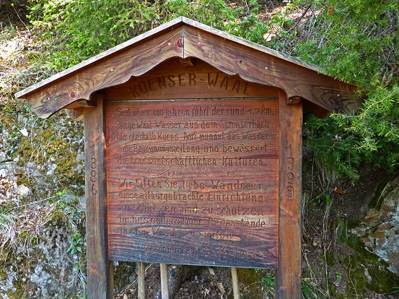
The Caines Waalweg path takes you along old irrigation channels in Val Passiria
Image gallery: Caines Waalweg path
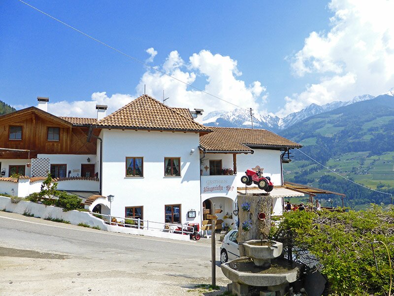
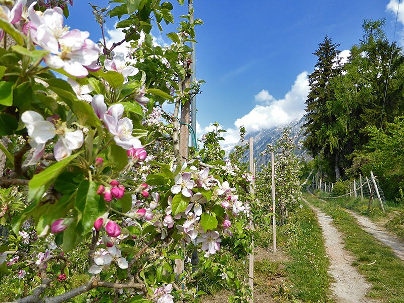
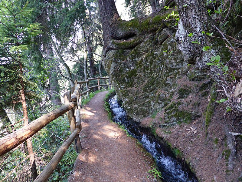
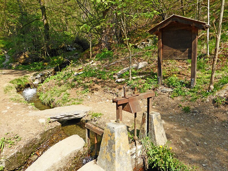
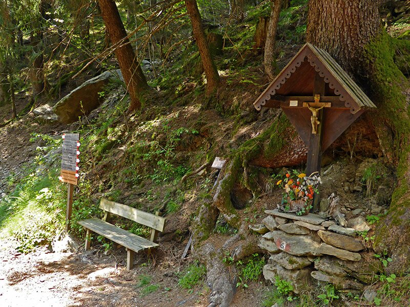
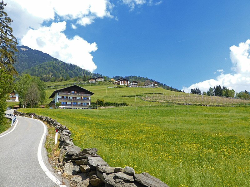
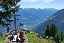
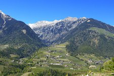
To reach the starting point of the Caines Waalweg path we drive to Caines between Merano and Rifiano and from there we continue to the Ungericht inn at 770 metres a.s.l.. From here we walk along the asphalted farm road. After about 10 minutes we reach the Mutlechnerhof farm, from where a marked footpath continues for about 15 minutes to the Caines Waalweg (also known as the ‘Oberer Waalweg’). We have reached the height of the irrigation channel.
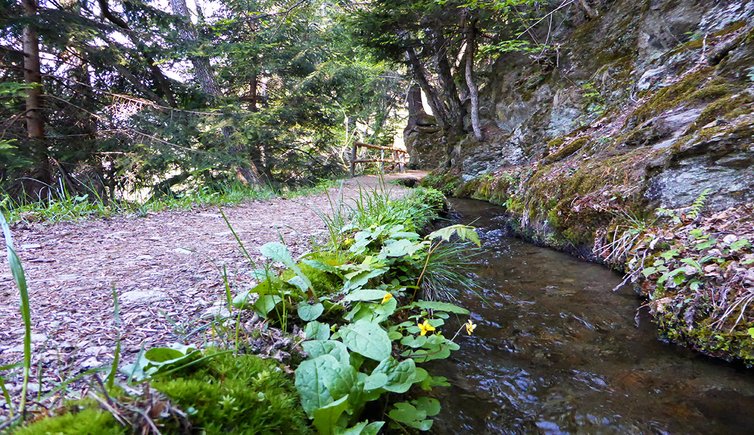
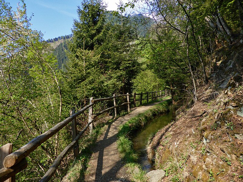
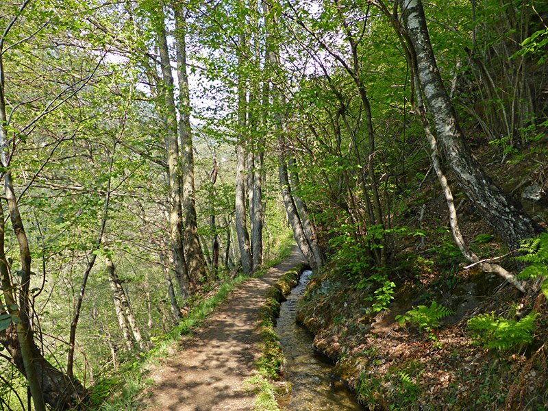
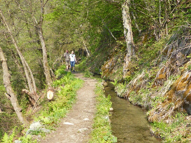
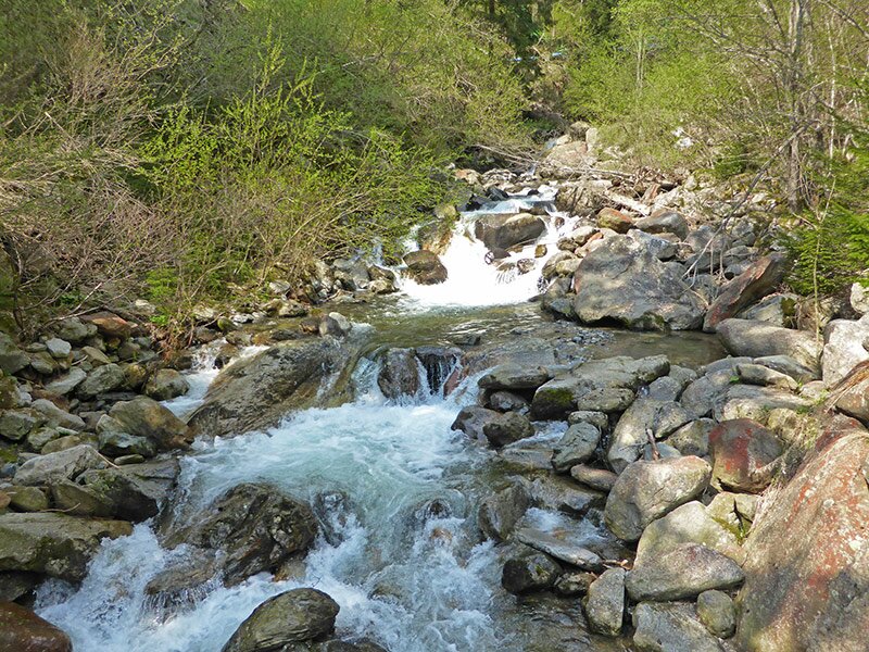
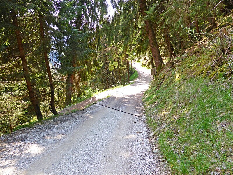
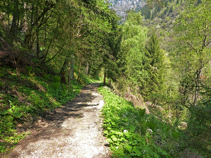
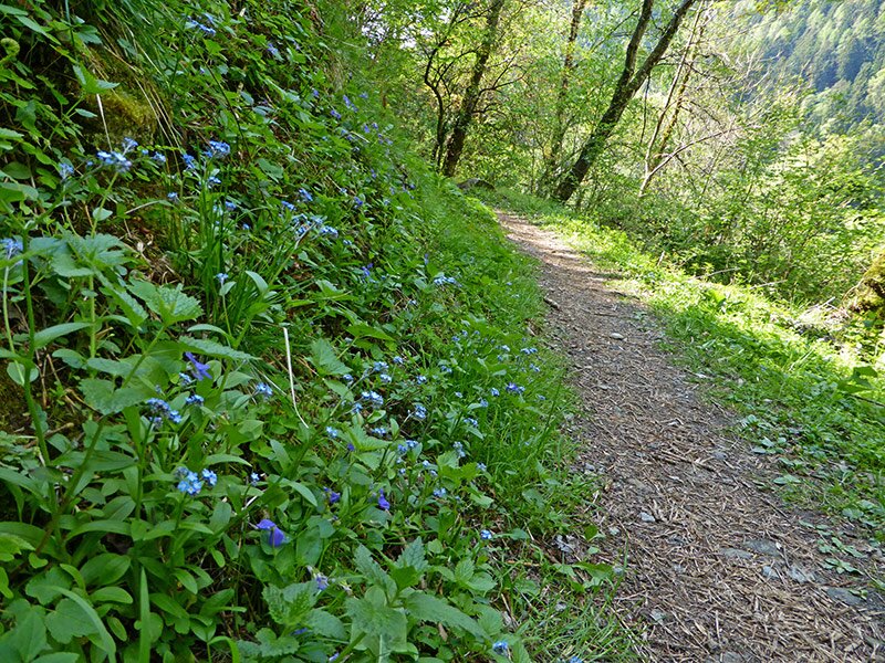
From this point we proceed rather plain, and in fact the Waalweg is a fairly even path and nice to walk on. After a total of 1.5 hours' walk you arrive at the channel's origins, near to the Finele river (1,020 m a.s.l.). Then you cross the river via bridge, turn right on a broader path and walk downward for about 10 minutes. Then you turn left, walk along the river and proceed on the Rifiano Waalweg path across the forest, back to the tavern Ungericht.
Author: AT
-
- Starting point:
- Via Caines / Kuenser Straße above "Haus Belvedere"
-
- Overall time:
- 02:00 h
-
- Total route length:
- 5,7 km
-
- Altitude:
- from 733 m to 1.009 m
-
- Altitude difference (uphill | downhill):
- +301 m | -301 m
-
- Signposts:
- Kuenser Waalweg
-
- Recommended time of year:
- Jan Feb Mar Apr May Jun Jul Aug Sep Oct Nov Dec
-
- Download GPX track:
- Caines Waalweg path
If you want to undertake this hike, we recommend you to check the weather and trail conditions in advance and on site before setting out.