From the Taser alpine pasture to the Picco Ivigna mountain hut until Merano 2000: the Ivigna mountain ridge separates the Lawand summit from the Ivigna main summit
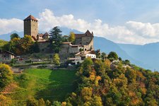
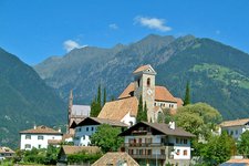
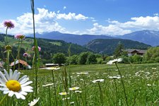
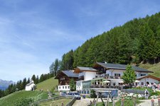
Image gallery: To the Ivigna mountain ridge
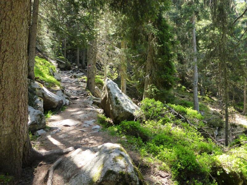
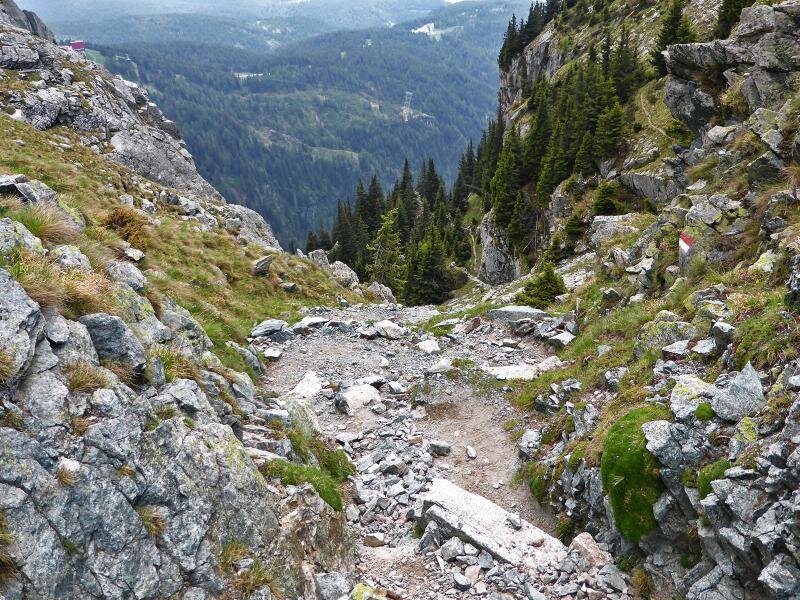

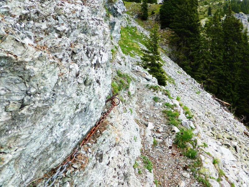
This mountain hike includes some steep and slippery sections in difficult terrain and is recommended only to experienced hikers. The critical spots are equipped with ropes so that no climbing equipment is necessary.
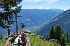
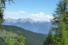
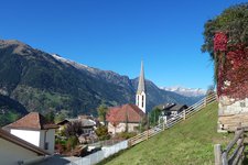
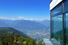
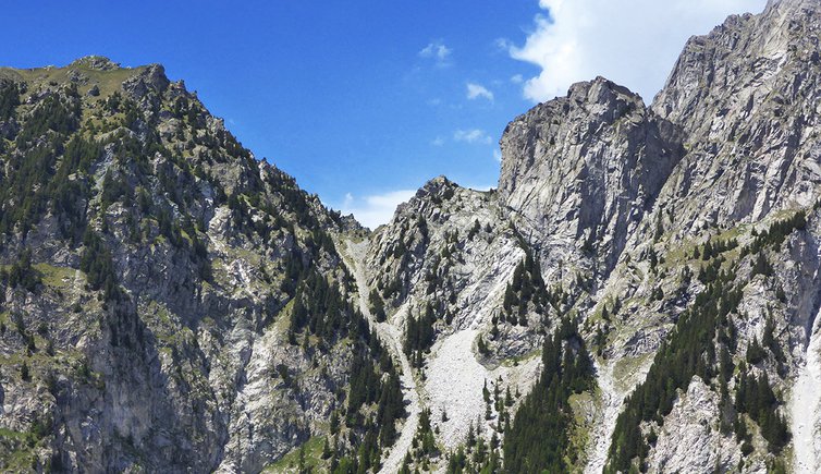
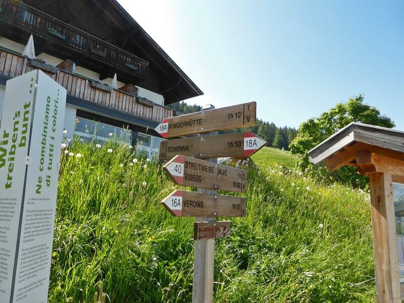
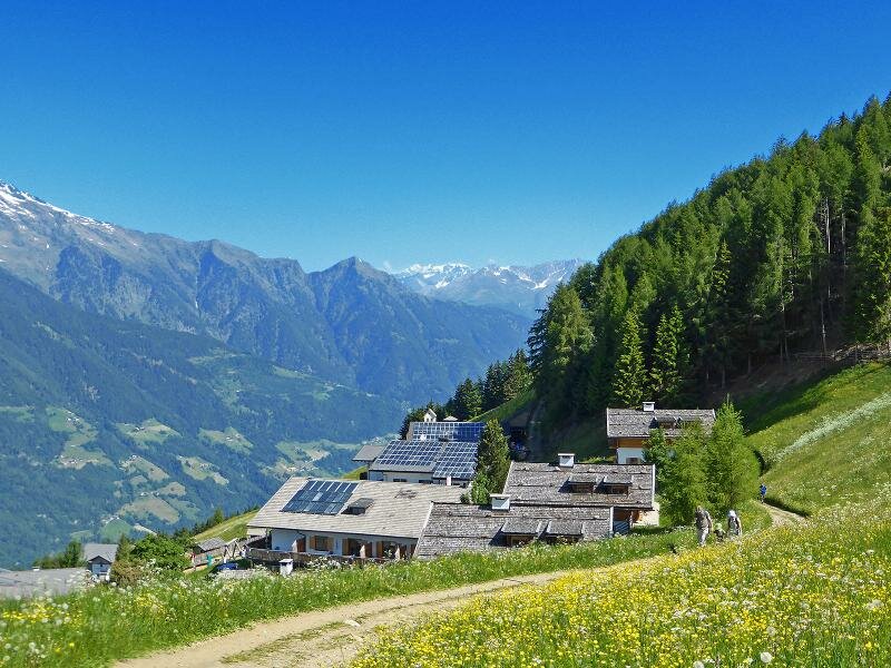
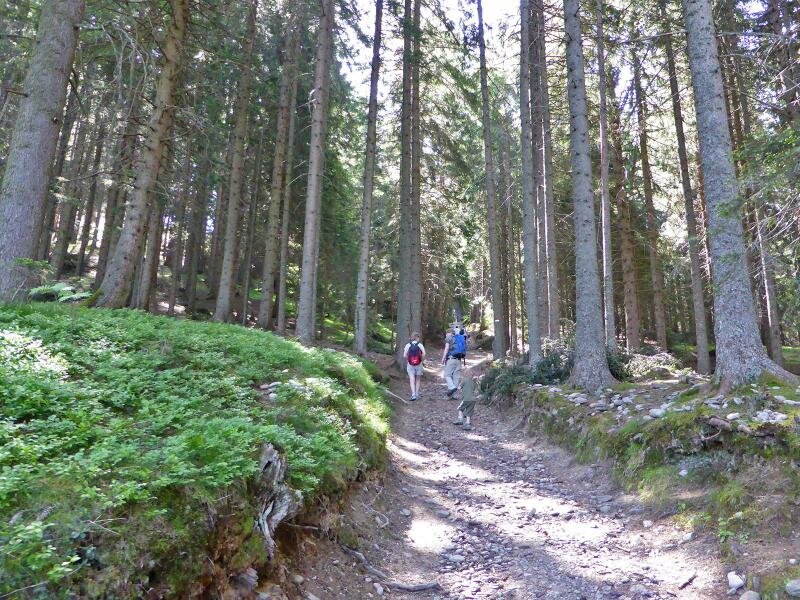
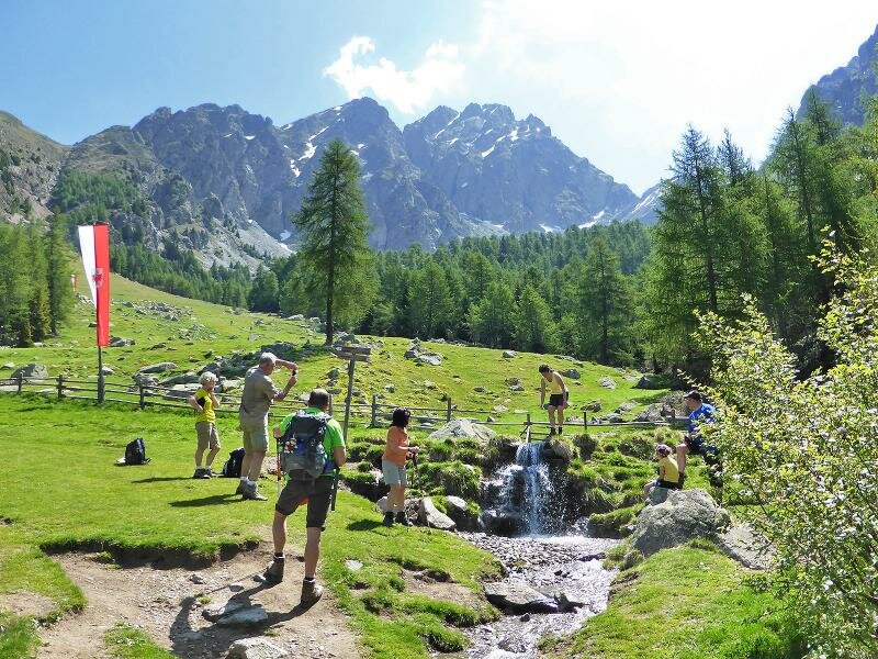
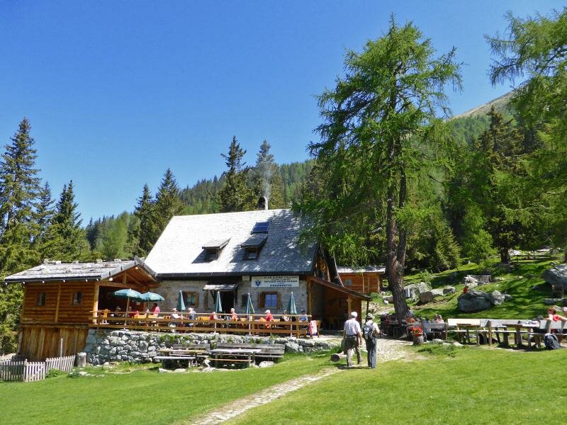
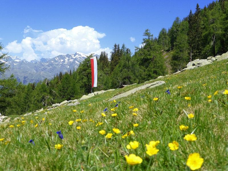
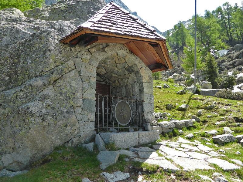
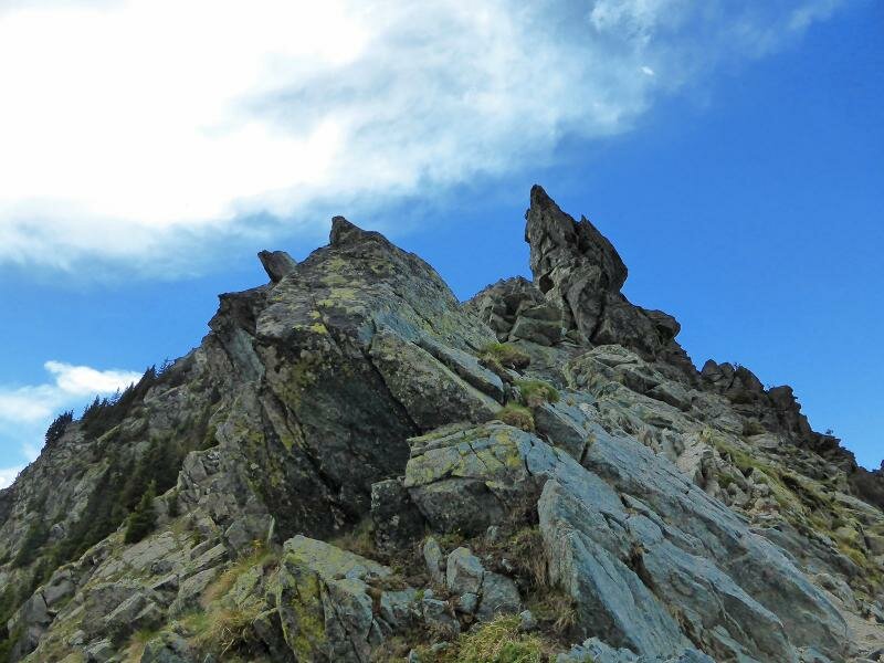
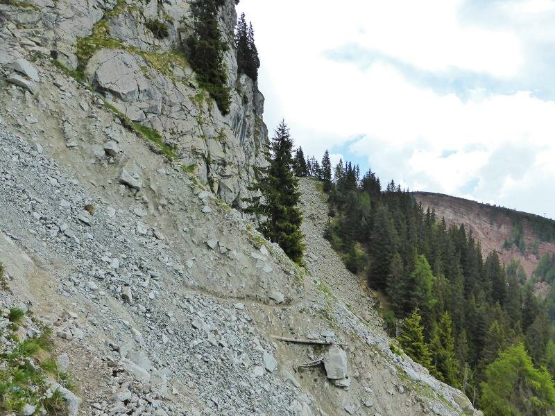
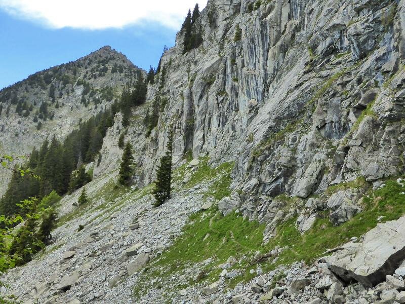
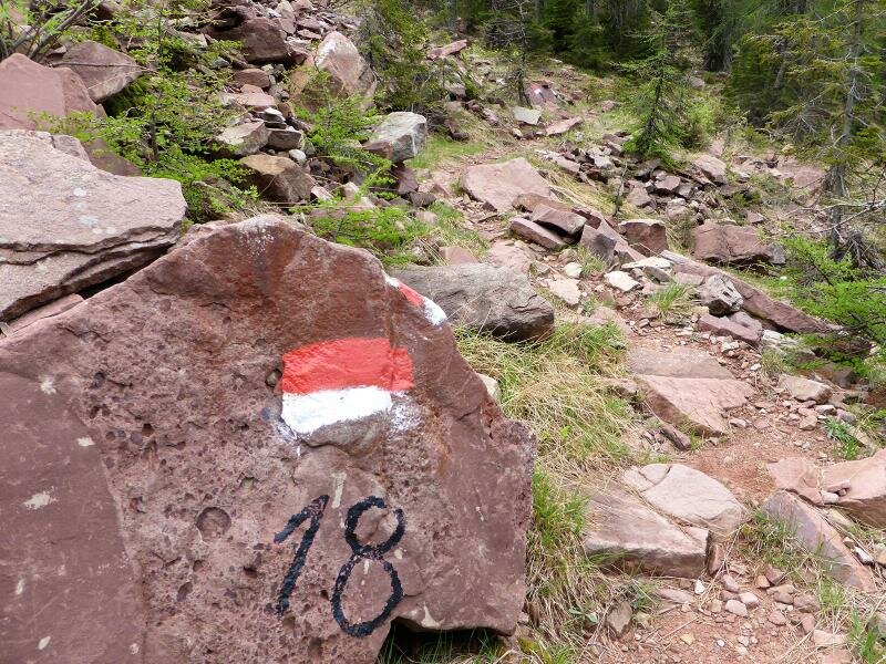
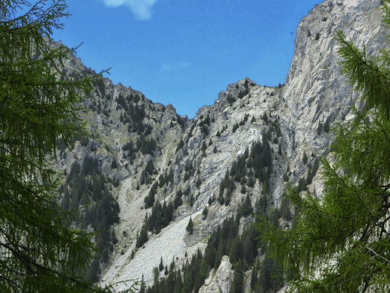
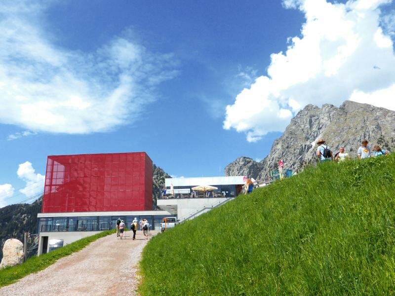
The tour starts easy: in Scena we take the Taser cable car which brings us up to the family pasture at 1,450 m a.s.l. We take the path no. 18A towards the Picco Ivigna mountain hut (1,810 m a.s.l.) which we reach after about one hour walking through the woods. The path no. 18 becomes more difficult, we have to walk across scree and last snow fields before we reach the Ivigna mountain ridge at 2,117 m a.s.l. During the ascent we had a fantastic view on the Tessa mountain group and the surroundings of Merano.
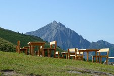
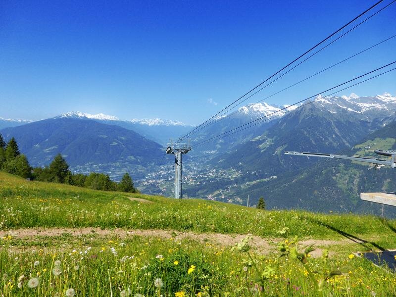
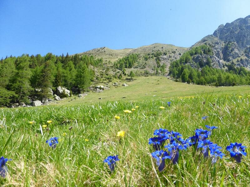
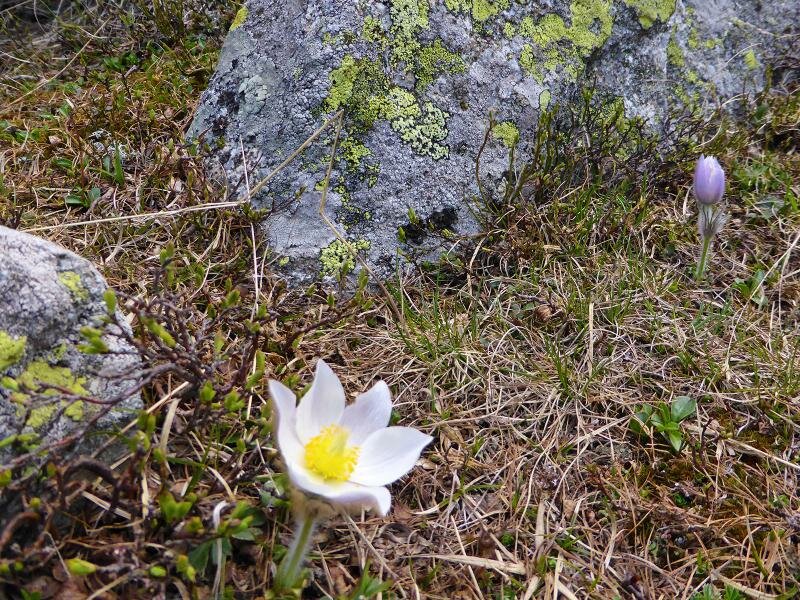
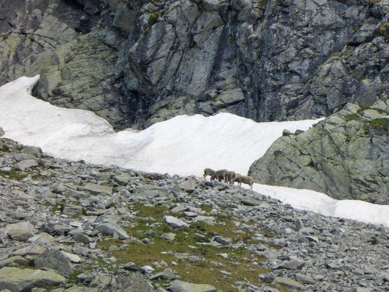
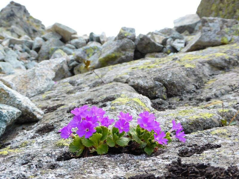
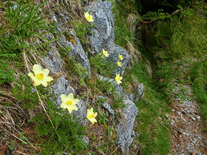
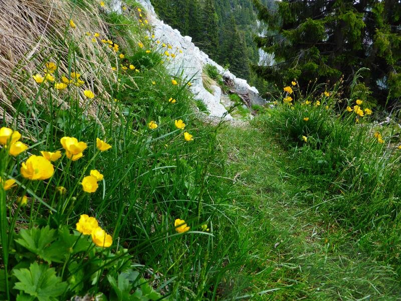
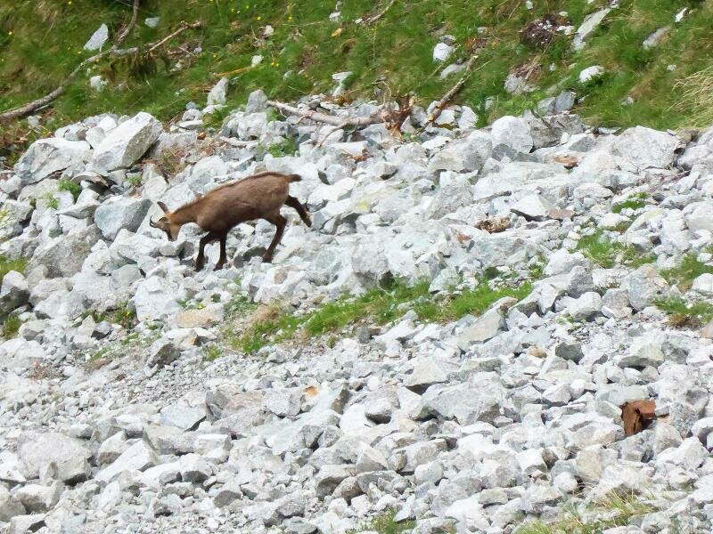
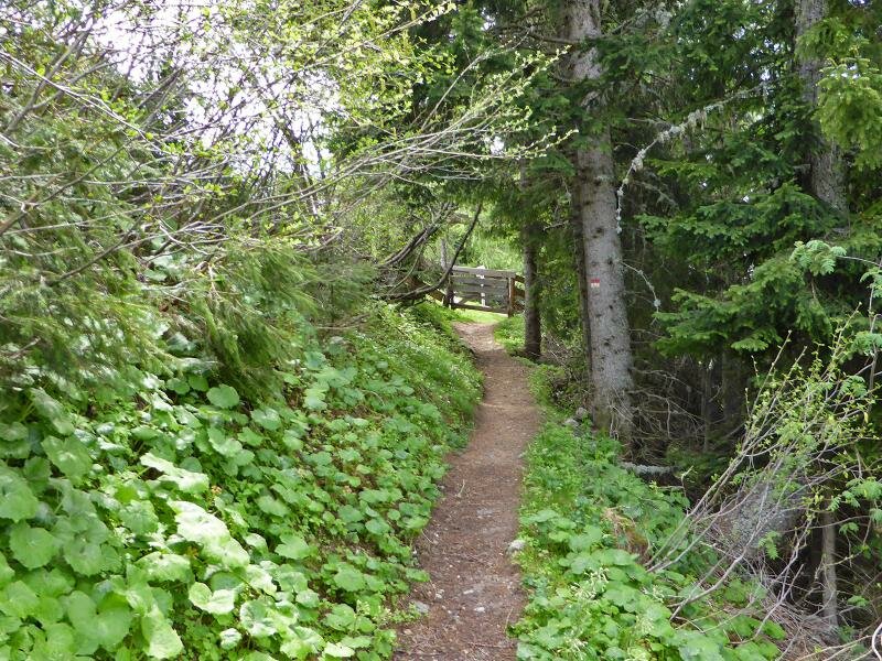
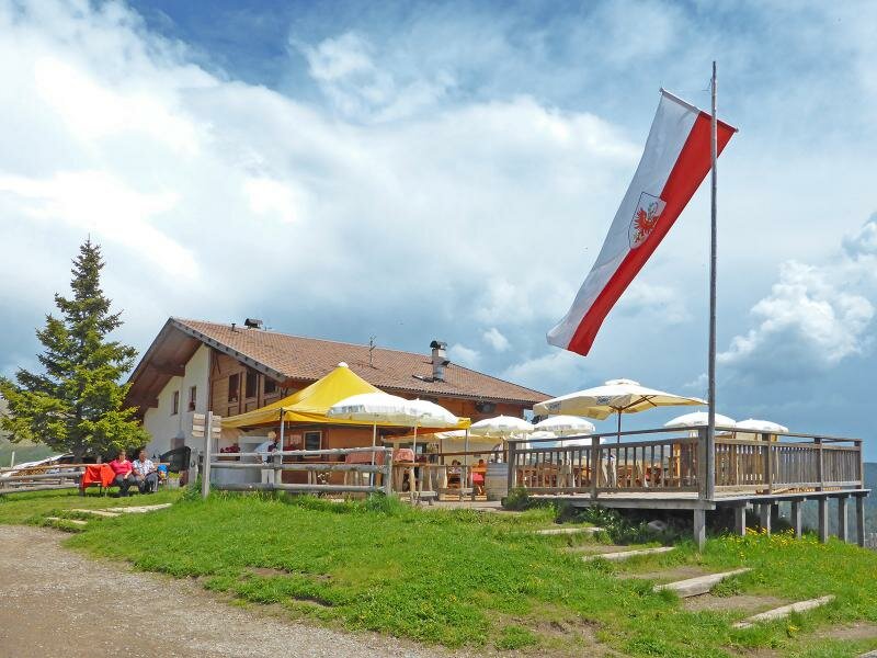
A little challenge is the section which follows immediately after the ridge. The way proceeds steeply downhill, between rocks and scree, attention is also required regarding the sharp granite stones when resting on. A forbidding area but we are rewarded with a lovely alpine flora and a group of chamois. The path conditions become better again and finally we reach our destination Merano 2000 from where we take the cable car to Naif and there the public bus back to Scena.
Author: AT
Experienced: June 2014
Last update: 2026
-
- Starting point:
- Taser Alm (Scena), mountain station Taser cable car
-
- Overall time:
- 03:15 h
-
- Total route length:
- 6,5 km
-
- Altitude:
- from 1.452 m to 2.118 m
-
- Altitude difference (uphill | downhill):
- +742 m | -303 m
-
- Route:
- Taser Alm - Picco Ivigna mountain hut - Ivigna mountain ridge - Piffing (Merano 2000)
-
- Signposts:
- 18A, 18
-
- Destination:
- Piffing, Merano 2000 cable car mountain station
-
- Resting points:
- Ifingerhütte Picco Ivigna mountain hut
-
- Recommended time of year:
- Jan Feb Mar Apr May Jun Jul Aug Sep Oct Nov Dec
-
- Download GPX track:
- To the Ivigna mountain ridge
If you want to undertake this hike, we recommend checking the weather and trail conditions in advance and on site before starting this hike!