This challenging hike leads us from Vernago in the Val Senales valley via the Similaun Mountain Hut to the discovery place of Ötzi, the famous Iceman
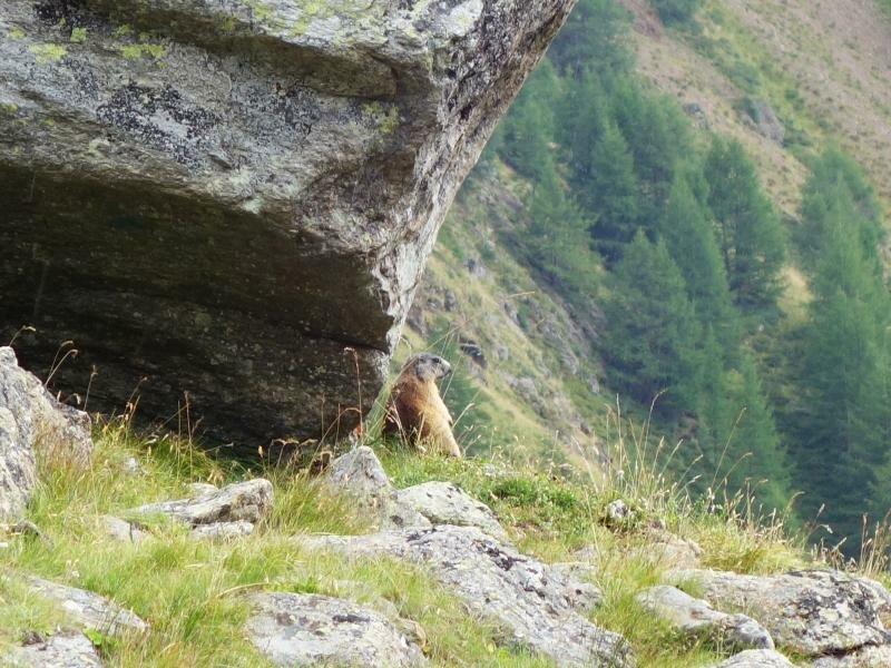
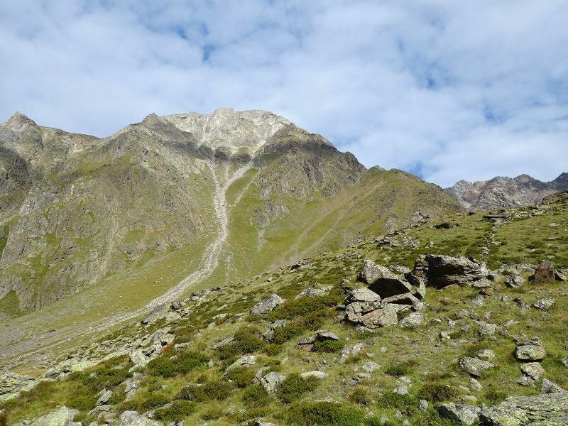
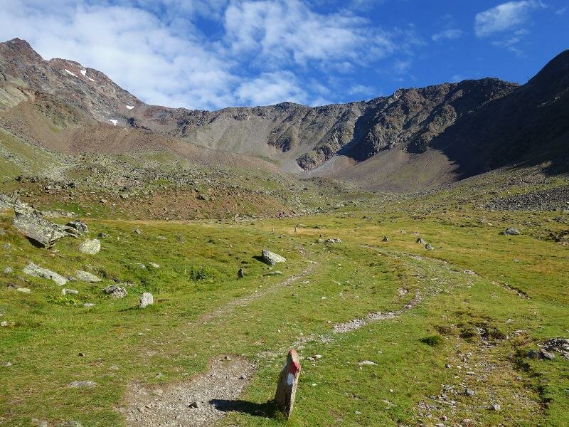
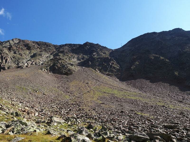
Image gallery: Hike to the Ötzi site at the Hauslabjoch
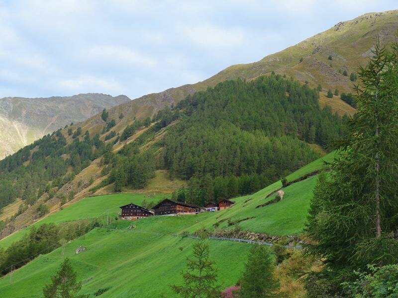
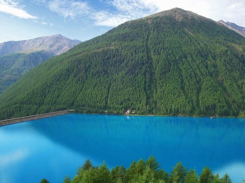


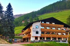
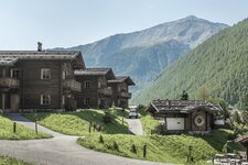
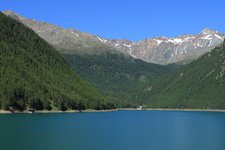
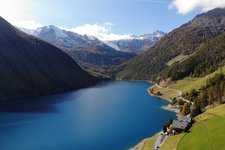
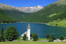
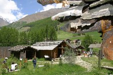
To reach the place of discovery of the legendary Iceman, there are actually two starting points in the Val Senales valley: the locality of Vernago at 1,710 m a.s.l. (reachable by car or bus) or the Tisenhof farm at 1,815 m a.s.l. (only little parking).
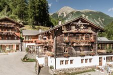
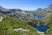
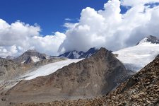
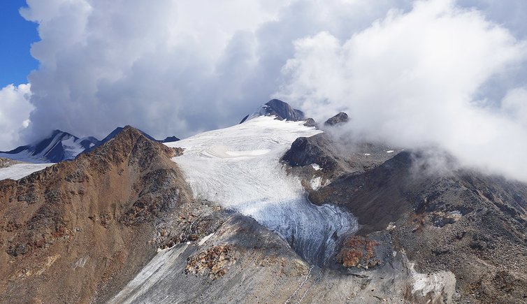
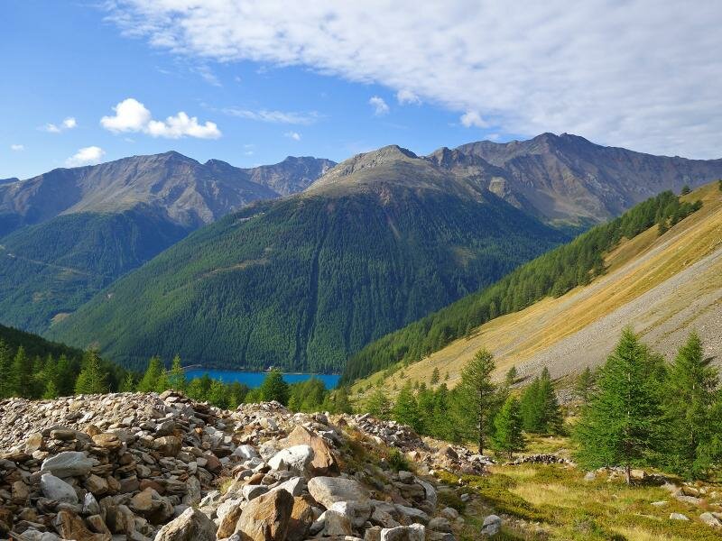
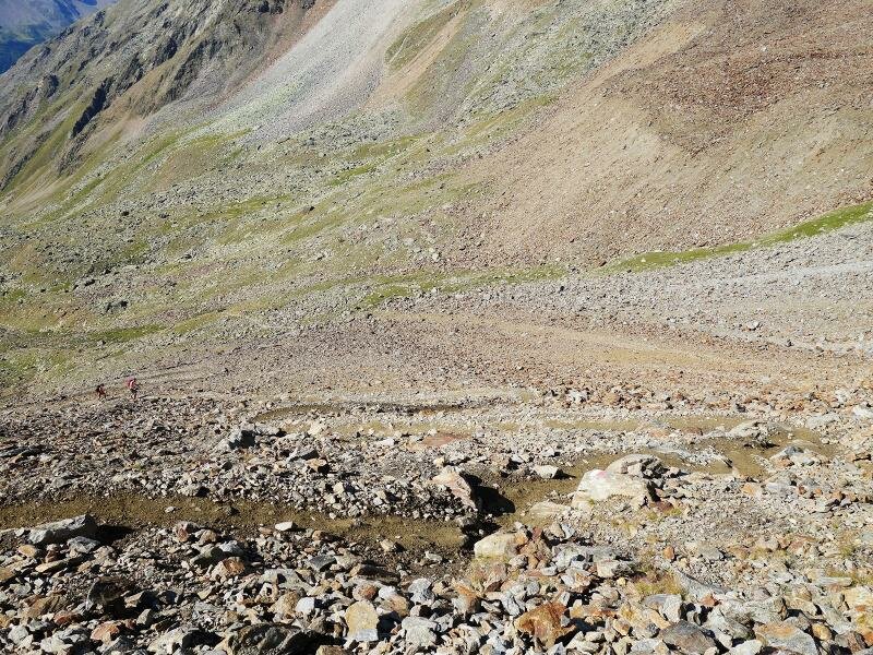
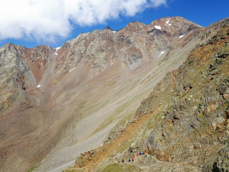
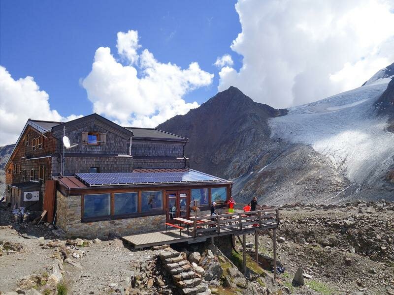
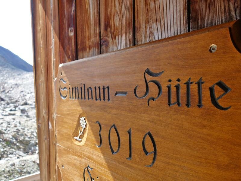
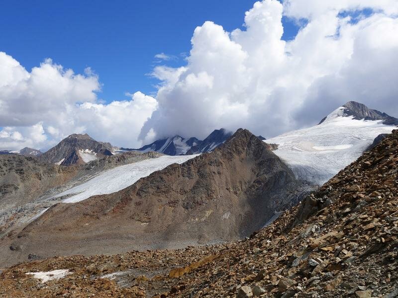
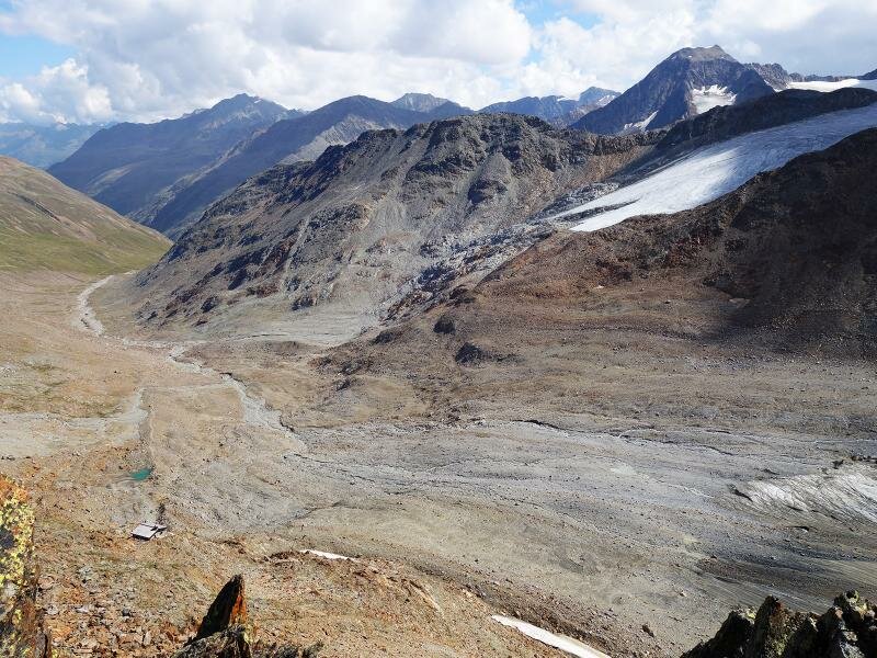
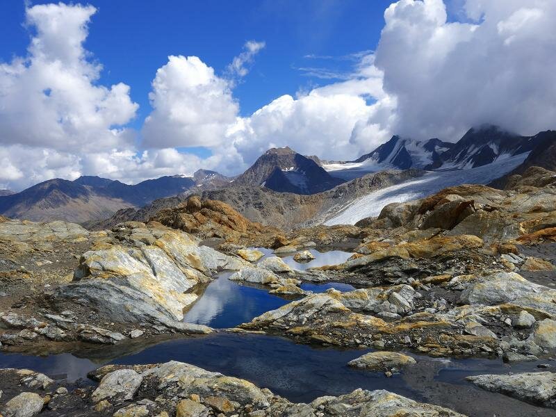
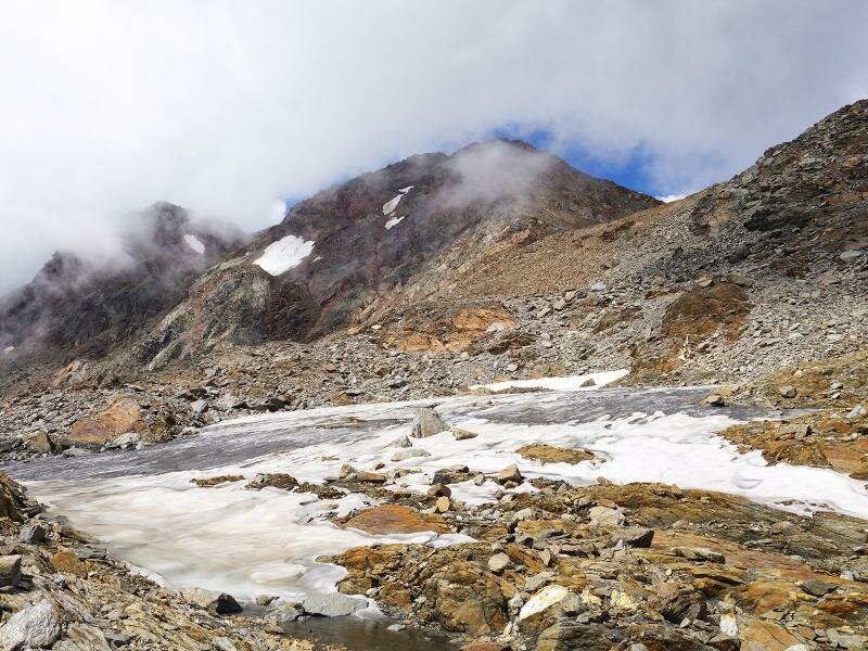
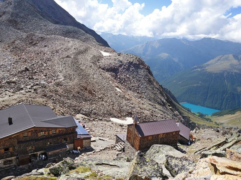
Following the road and the marker no. 2, we walk uphill to the Tisenhof farm. There the path through the Valle di Tisa valley starts. Slightly above the timber line, at an altitude of 2,300 m a.s.l., approx. 100 m west of the trail, the 'Schneckenhütte' or 'Labyrinth', an archaeological site is located. At about 2,700 m a.s.l. we reach the scree fields on the Tisenberg mountain. The trail winds through the rocky landscape, then along the cliffs up to the Niederjoch ridge (3,020 m a.s.l.), where our stage destination, the Similaun Mountain Hut, is located. From here we enjoy a gorgeous view on the 3,600 m high Similaun with its icy northern flank.
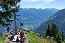
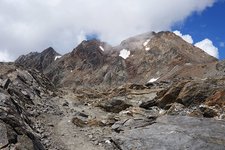
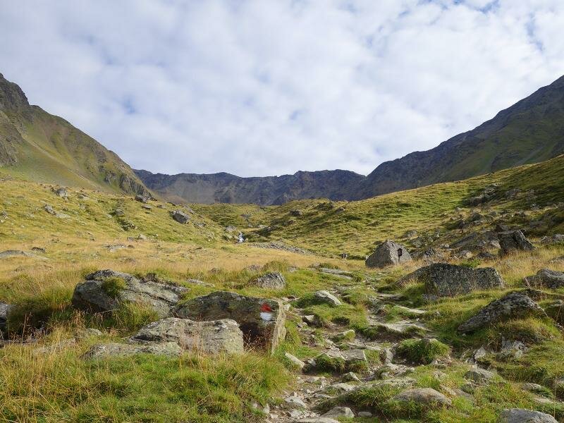
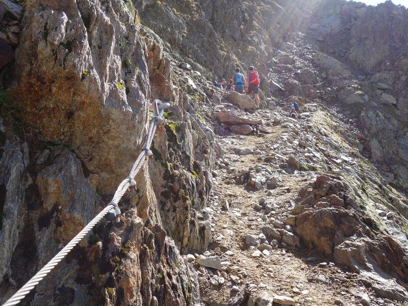
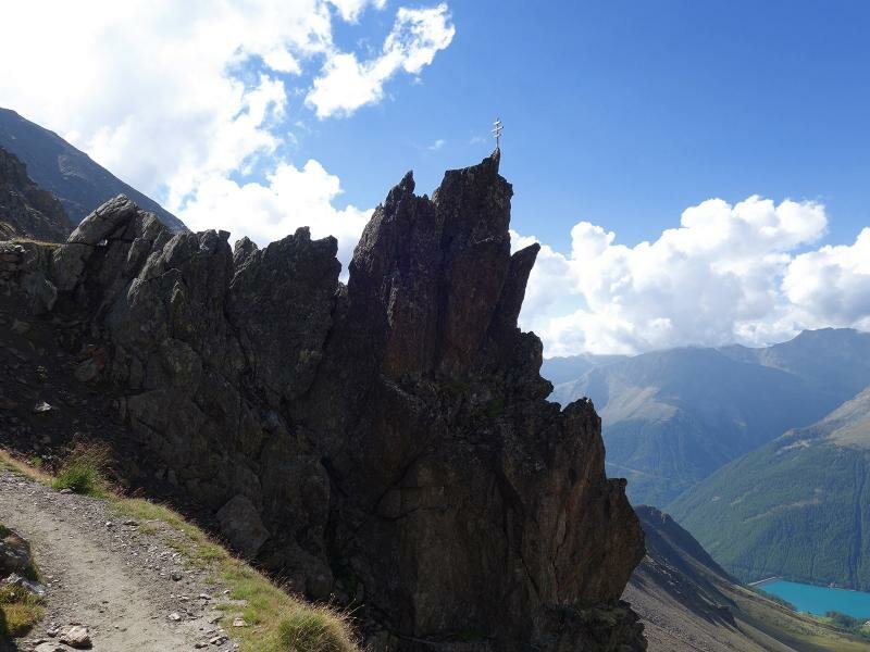
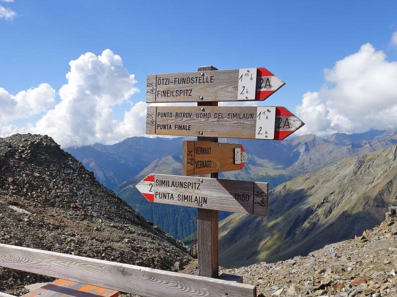
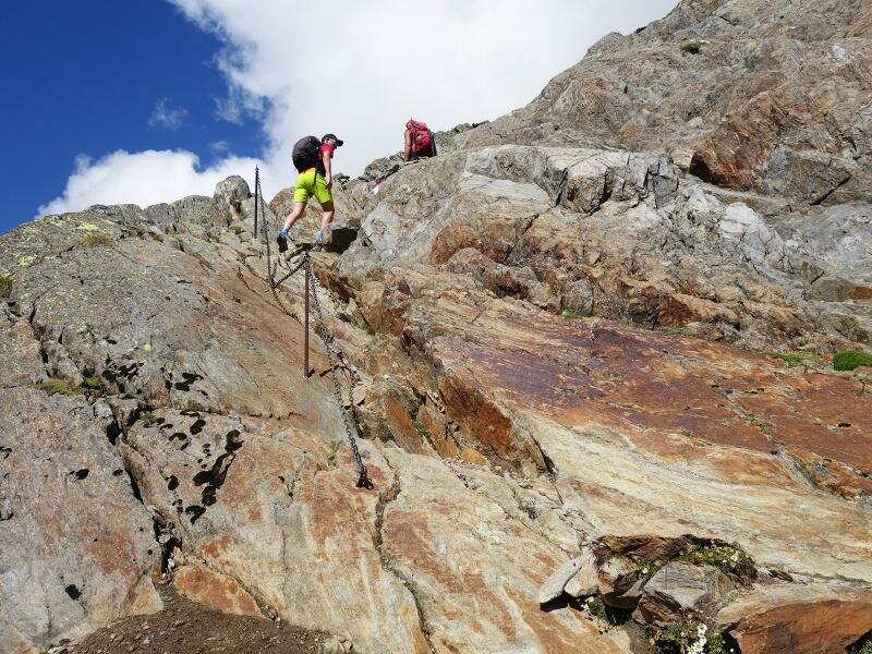
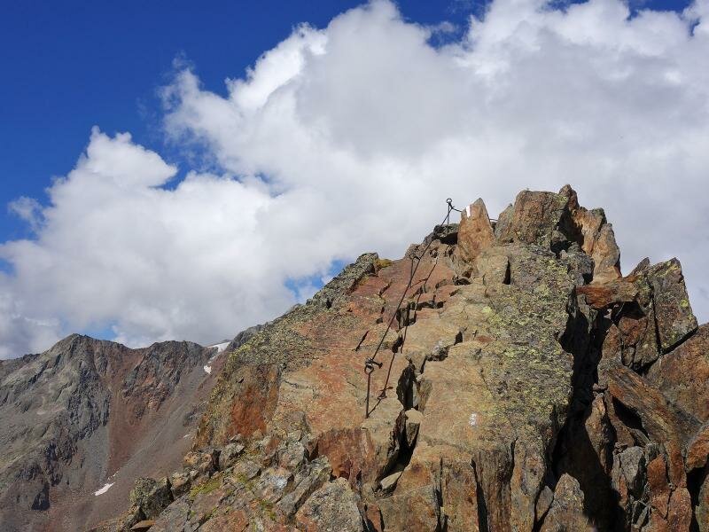
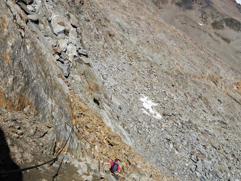
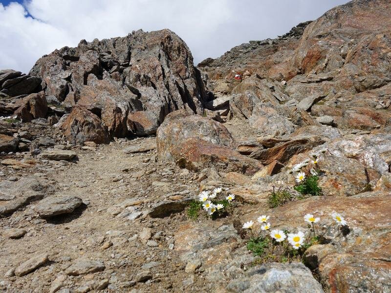
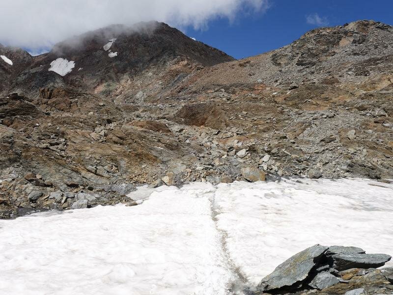
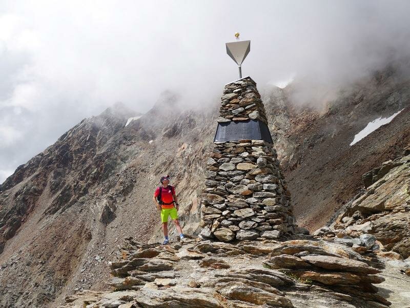
After a break, we continue on the path no. 2A towards the place of discovery of Ötzi. Most of the ascent we have already managed but now it becomes a bit more difficult. Easy climbing is in demand, rope safety devices help to master the trail through the stony landscape. On the mountain ridge the efforts are then rewarded with a wonderful view. After crossing a small snow field, we reach the obelisk near the site where the Ötzi mummy was found at more than 3,200 m a.s.l. It is exhibited in the South Tyrol Museum of Archaeology in Bolzano today. If you want, you can hike up another 80 metres to the Hauslabjoch ridge. For our way back we take the same route.
Please note: this hiking tour requires good physical shape, sure footedness and alpine experience as well as hiking boots and hiking poles!
Author: AT
Experienced: August 2018
Last update: 2026
-
- Starting point:
- Vernago in the Val Senales valley (parking space at the dam)
-
- Overall time:
- 07:50 h
-
- Total route length:
- 15,8 km
-
- Altitude:
- from 1.692 m to 3.215 m
-
- Altitude difference (uphill | downhill):
- +1572 m | -1572 m
-
- Signposts:
- no. 2, 2A, Archaeological Walking Path A2
-
- Destination:
- Tisenjoch/Giogo di Tisa, Ötzi site
-
- Resting points:
- Similaun Hütte
-
- Recommended time of year:
- Jan Feb Mar Apr May Jun Jul Aug Sep Oct Nov Dec
-
- Download GPX track:
- Hike to the Ötzi site at the Hauslabjoch
We highly recommend checking the weather and trail conditions in advance and on site before starting this tour.