This hike proceeds past the Malga Monte Luco hut (1,835 m a.s.l.) and the Lago Luco lake, starting at the Passo delle Palade
Image gallery: Hike from the Passo delle Palade to the Monte Luco
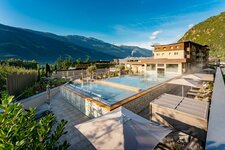
7 nights from 1.246 € per person
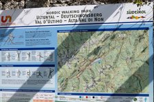
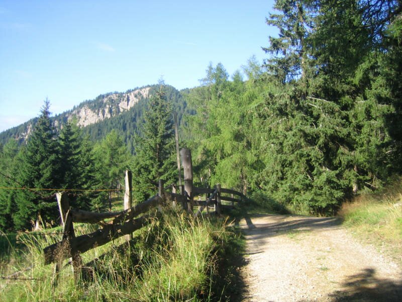
Our starting point is the Passo delle Palade, a mountain pass above Lana and connection between this village in the Valle d'Adige (316 m a.s.l., South Tyrol) and Fondo in the Val di Non (988 m a.s.l., Trentino). At the end of August the temperatures in the valley are still high, but mild and pleasant on the 1,518 m high pass.
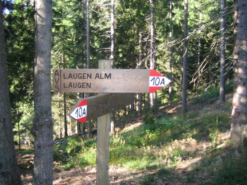
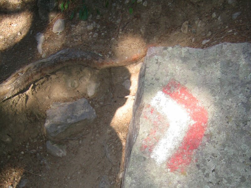
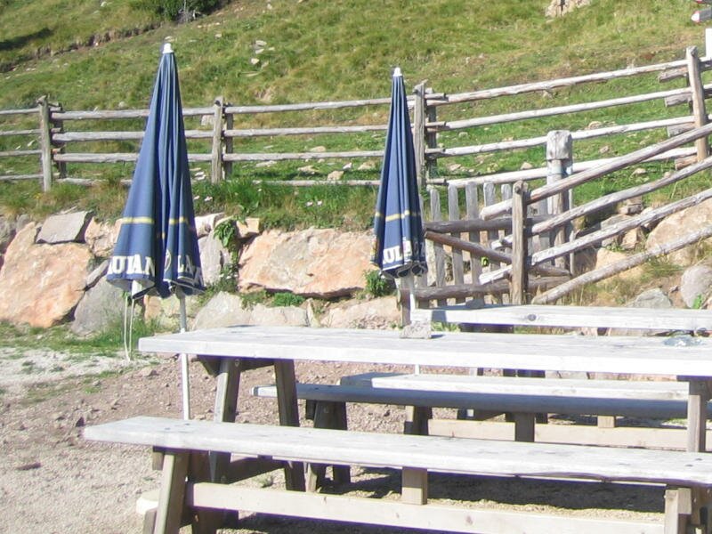
We follow the path through the forest towards the Malga Monte Luco mountain hut. It is partially signposted with the number 10A and marked with red and white colours. Delicious ripe raspberries are growing by the wayside. After crossing a forest path, a narrow path branches off towards the Malga Monte Luco mountain hut (Laugenalm, in German). After a 1.5-hour walk we reach this beautiful place at 1,835 m a.s.l. and stop for a refreshment.
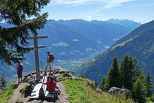
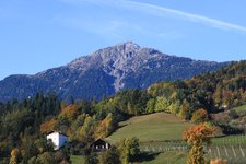
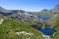
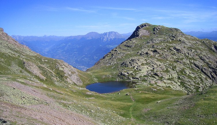
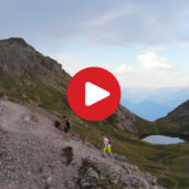
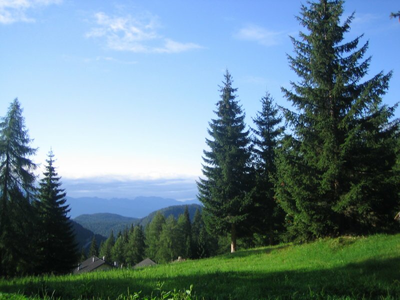
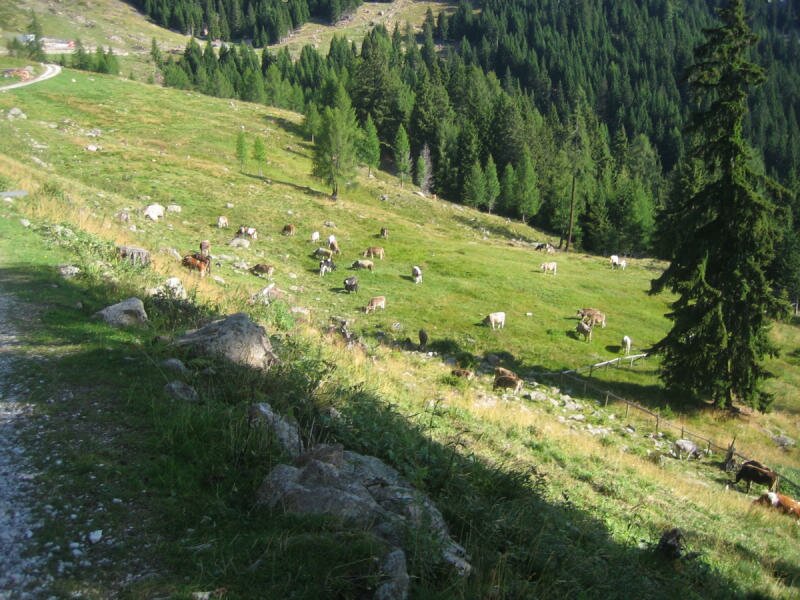
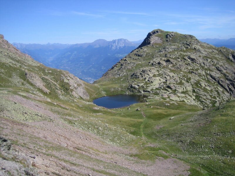
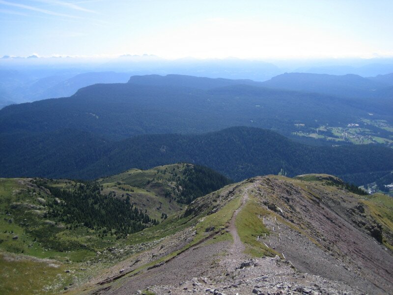
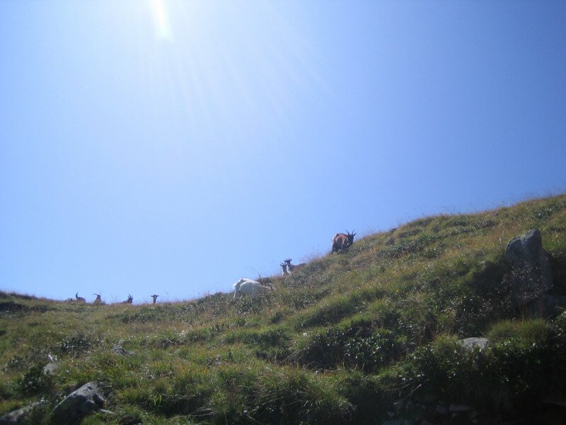
Afterwards we follow the path no. 10 leading uphill and passing grazing sheep. After another hour of hiking we see Mount Luco (Laugenspitze, in German) in front of us. The last section is steep and demanding, but the Lago Luco lake beneath the summit invites to take a break in order to recharge your energies. The summit of the Monte Luco (2,434 m a.s.l.) offers a fantastic view on the surroundings.
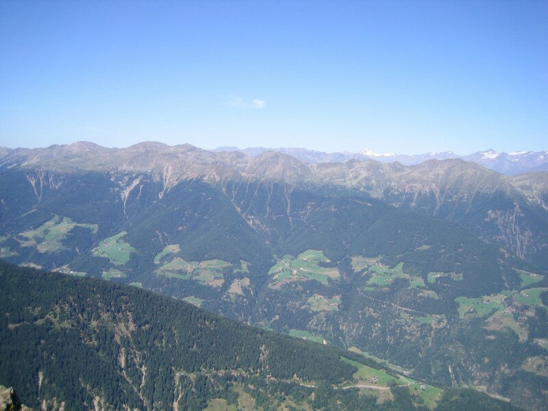
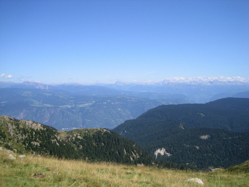
In geographical terms, this peak of the Ortles-Cevedale Group belongs to the Val d'Ultimo valley in South Tyrol. From the summit you can see the Tessa Mountain Group in the north, the Ortles-Cevedale Group in the west and mountain chains such as the Presanella Group and Brenta Alps in the Trentino in the south. Also the world famous Dolomites with Mount Sciliar can be seen. After taking some photos of the 3,905 m high 'King Ortles' and the glaciers of the Alpine divide we follow the same trail back down to the Passo delle Palade.
Please note: from the Monte Luco to the Malga Monte Luco you can walk the same way back or choose the path no. 10A on the opposite side. The section from the hut to the Passo delle Palade, however, follows the same trail of the ascent.
Author: MC
Experienced: August 2009
Last update: 2026
-
- Starting point:
- Passo Palade mountain pass
-
- Overall time:
- 04:00 h
-
- Total route length:
- 9,3 km
-
- Altitude:
- from 1.514 m to 2.433 m
-
- Altitude difference (uphill | downhill):
- +926 m | -926 m
-
- Signposts:
- 10A, 10
-
- Destination:
- Monte Luco/Laugenspitze
-
- Resting points:
- Malga Monte Luco/Laugenalm mountain hut
-
- Recommended time of year:
- Jan Feb Mar Apr May Jun Jul Aug Sep Oct Nov Dec
-
- Download GPX track:
- Hike from the Passo delle Palade to the Monte Luco
We highly recommend checking the weather and trail conditions in advance and on site before starting this tour.