The walking tour through the Sopranes Lakes starting at the Muthöfe farmsteads near Tirolo to Plan is a 17 km long mountain hike with an altitude difference of 1,300 m
Image gallery: Travers from the Sopranes Lakes to the Passo di Sopranes
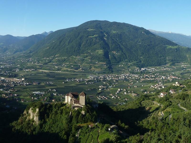
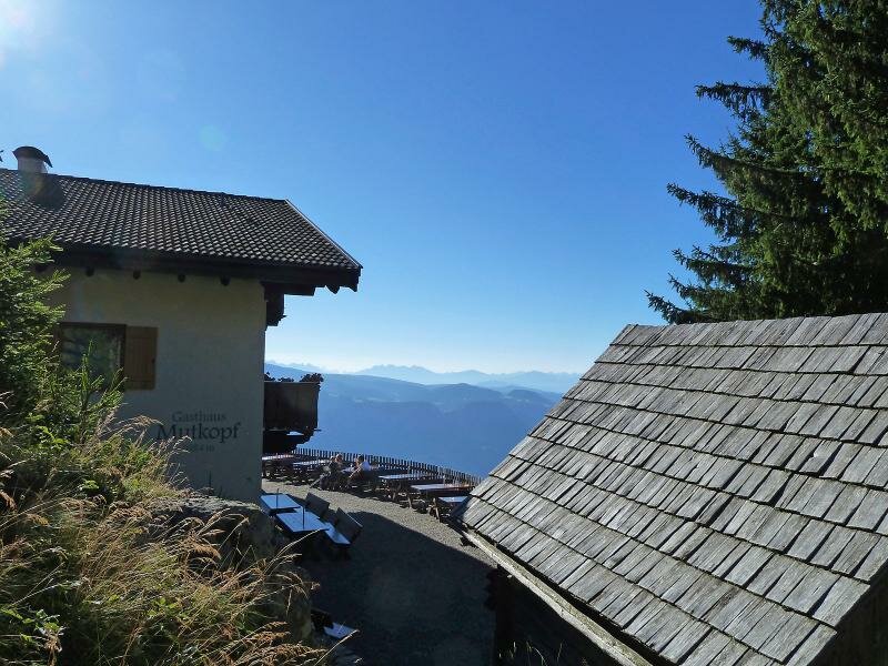
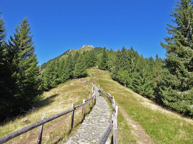
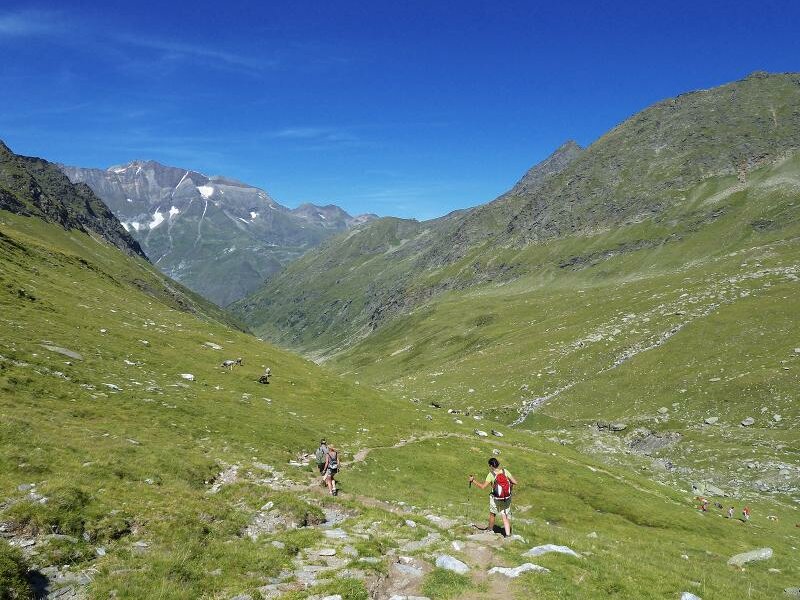
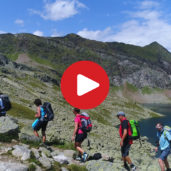
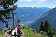
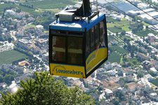
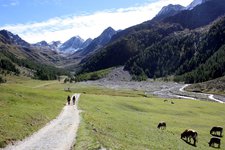
The path through the Val di Sopranes to Plan was used already by the people prehistory. When Plan belonged to the parish of St. Peter in Tyrol, priests and the faithful were using this path to get to the cemetery which was 25 km away. Today this sounds unbelievable but it was everyday life for a long period. Now only the ambitious hikers dare to do this day trip across the Passo di Sopranes. Early in the morning we take the cable car at Tirolo up to the Muthöfe farmsteads. The path no. 22 first leads us to the tavern on the Mutkopf where we have a coffee break.
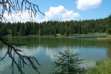
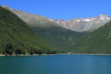
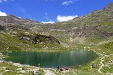
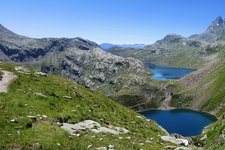
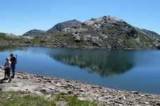
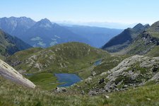
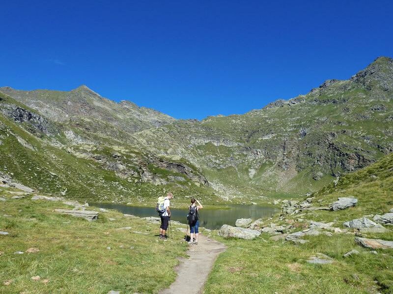
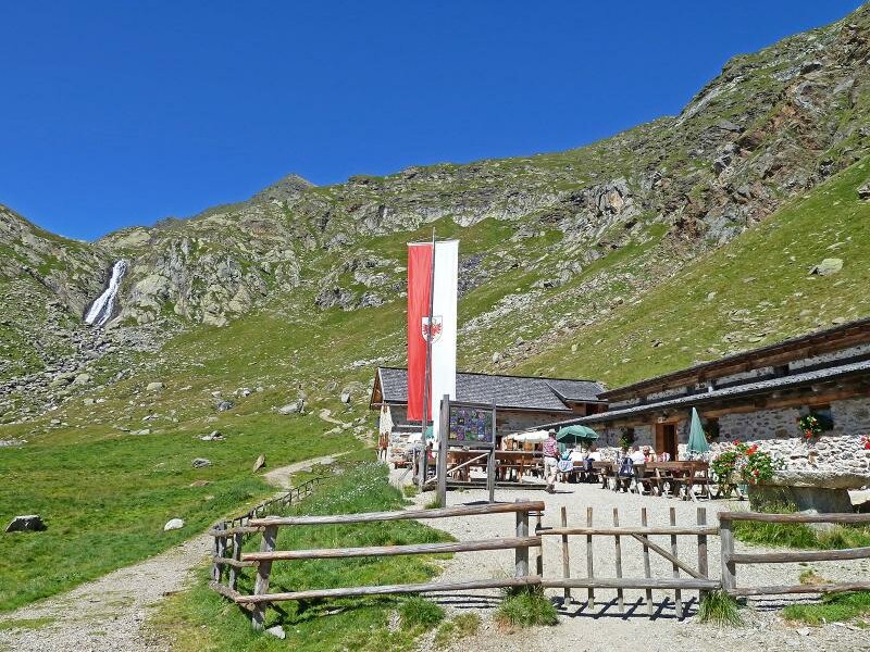
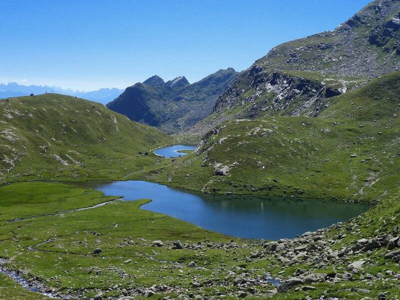
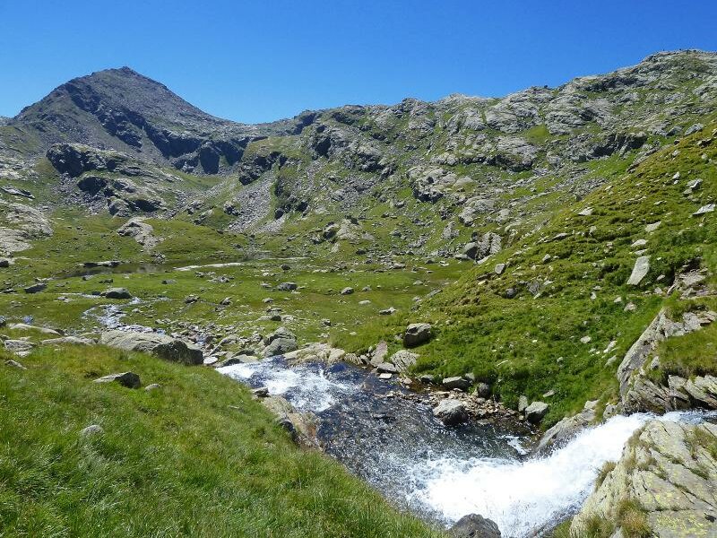
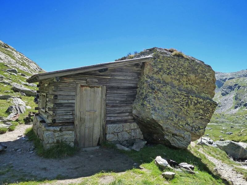
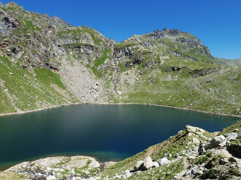
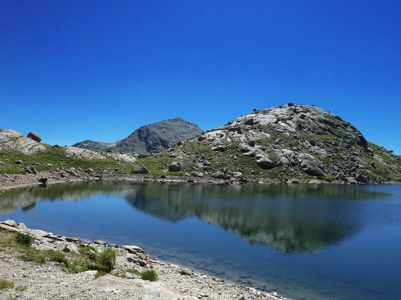
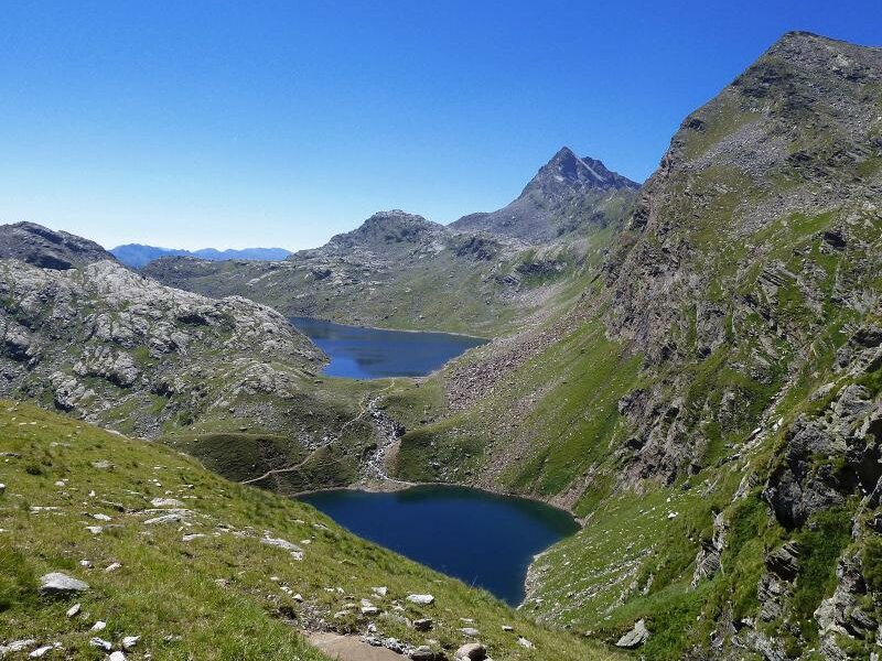
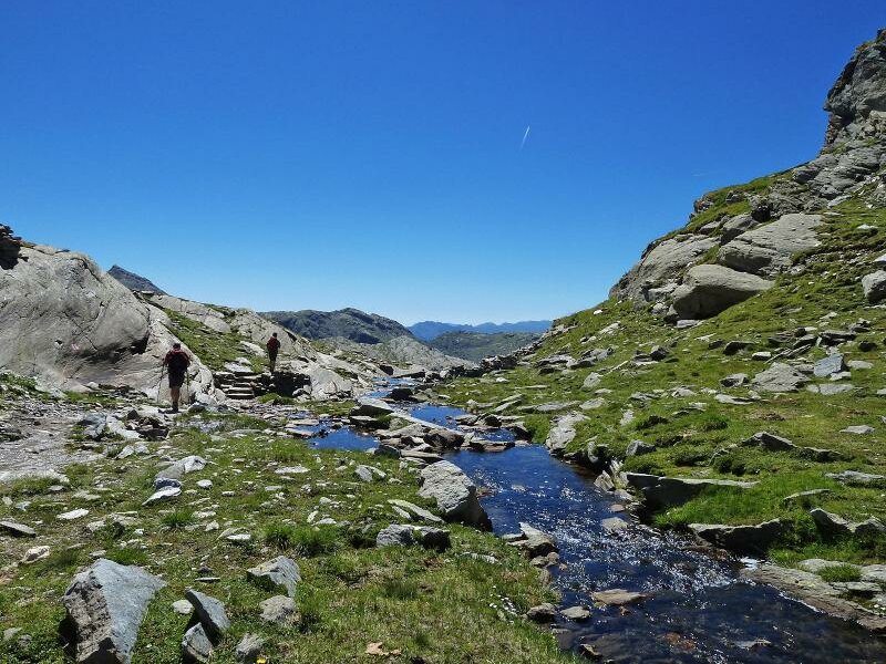
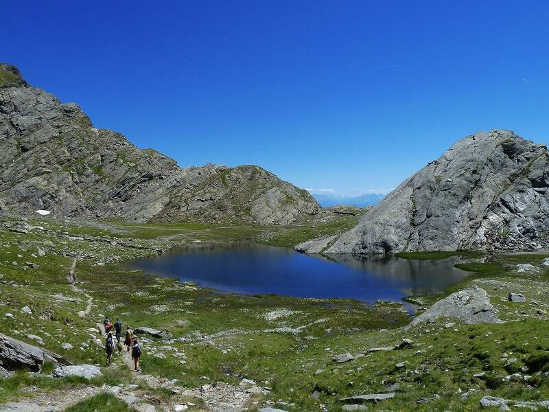
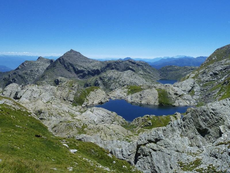
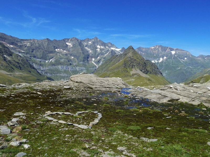
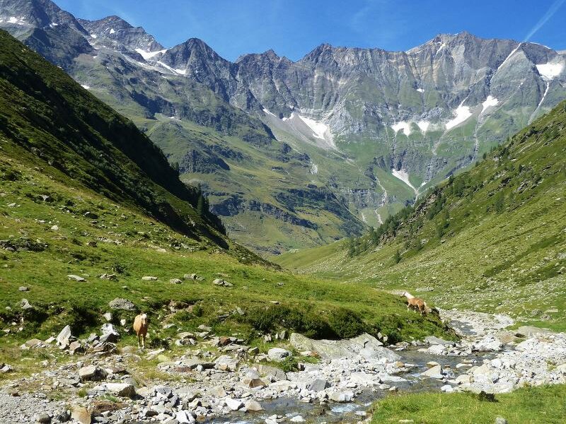
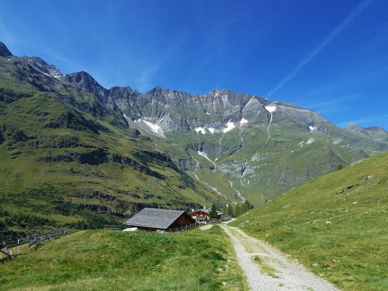
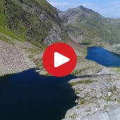
Now we enter the Val di Sopranes. Always slightly upwards we reach the Pfitscher Pond and the Kaser Pond 2 hours later. Here the Oberkaser mountain hut is also situated. At the Oberkaser we fortify ourselves because it will be our last rest stop for many hours. Now the most beautiful part of the tour waits for us. It takes us 40 minutes uphill to reach the Green Lake which is situated in a basin at 2,300 m a.s.l. The real highlight we find 10 minutes march further towards west: the Long Lake. It is the biggest of the Sopranes Lakes, a huge blue patch in the midst of meagre wilderness. The mountain peaks and the sky are reflected on the crystal clear water surface.
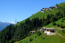
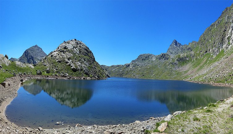
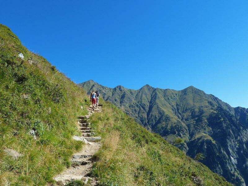
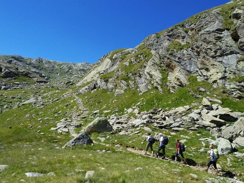
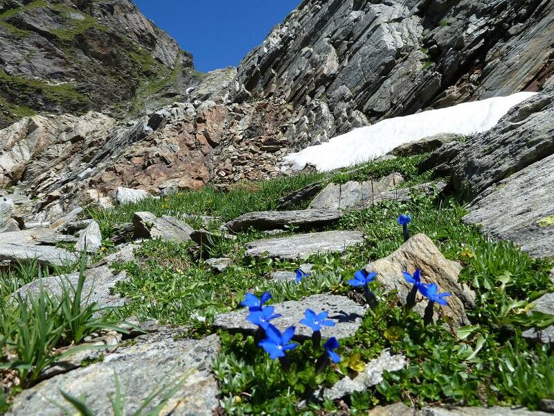
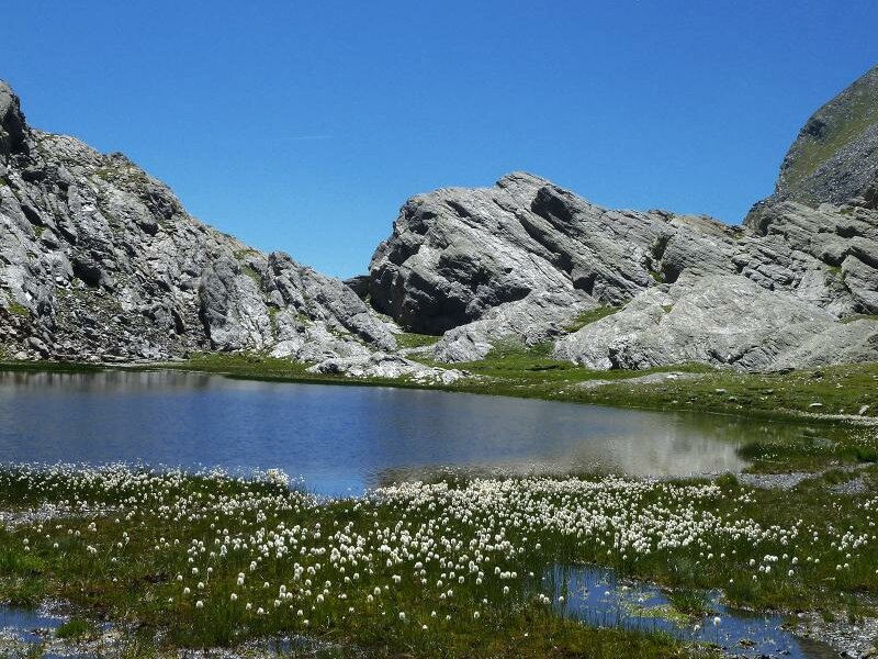
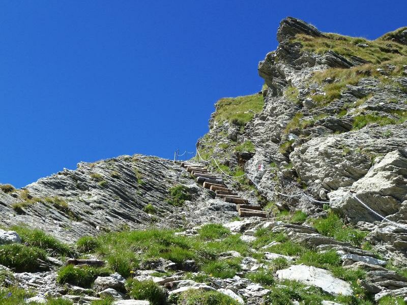
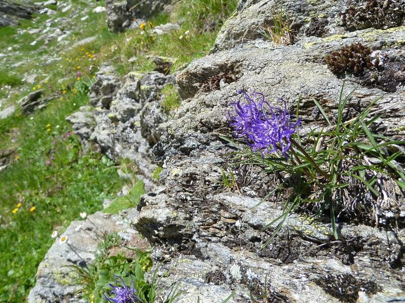
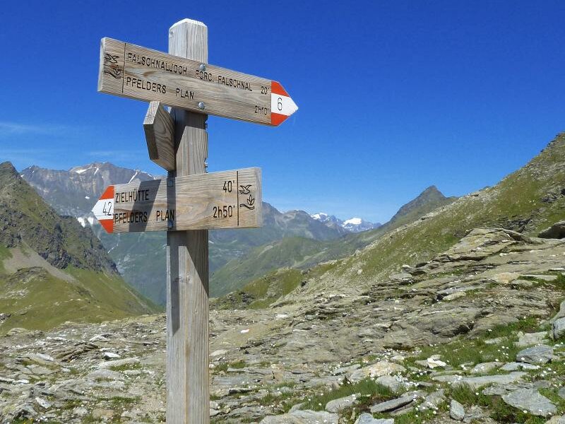
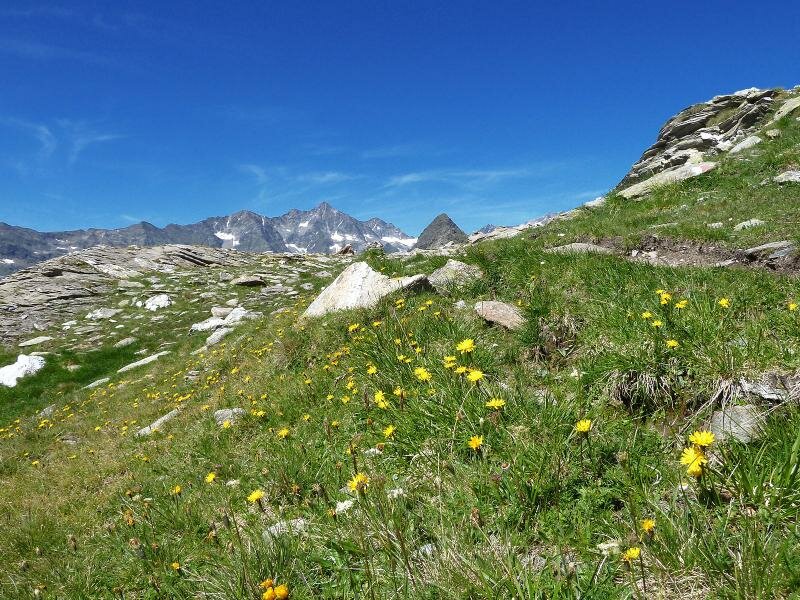
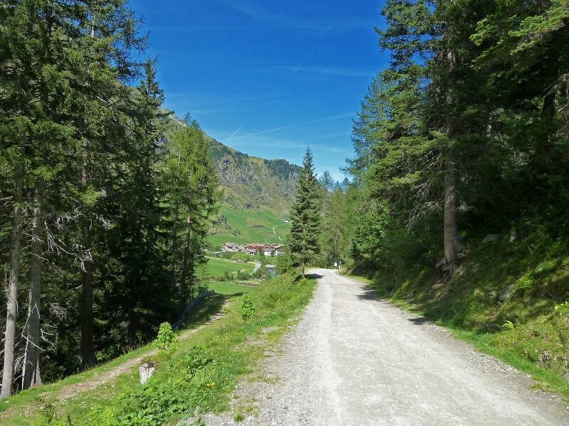
Back at the Green Lake we follow the marker n° 6 to the Passo di Sopranes. In steps we walk uphill, soon we have arrived at the Slate Lake which is surrounded by a high moor and is situated in a shallow basin. Various alpine flowers are blooming next to patches of snow. Our next stage is the Passo di Sopranes at 2,580 m a.s.l. From there the path no. 6 leads down to the Falschnal alpine pasture at 1,871 m a.s.l. where the forest limit starts. From here it takes us not even 40 minutes downhill to Plan where we take the local bus to go back to our starting point near Tirolo.
Our mountain hike took us approx. seven hours, including the short breaks. But the impressions of this tour are indescribably! And it was a bright day with moderate temperatures.
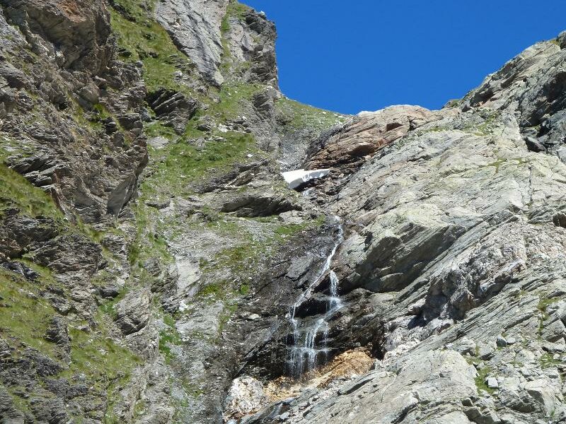
Please note: In early summer and after cold snaps, there may still be large amounts of snow and ice here.
Author: AT
Experienced: August 2013
Last update: 2026
-
- Starting point:
- mountain station Hochmuth cable car (Tirolo)
-
- Overall time:
- 07:00 h
-
- Total route length:
- 18,1 km
-
- Altitude:
- from 1.351 m to 2.590 m
-
- Altitude difference (uphill | downhill):
- +1285 m | -1098 m
-
- Route:
- Hochmuth - Mutkopf - Oberkaser - Green Lake - Long Lake - Passo di Sopranes - Passo di Falschnal - Falschnal alpine pasture - Plan in Val Passiria
-
- Signposts:
- no. 22, 6
-
- Destination:
- Pfelders / Plan in Val Passiria
-
- Resting points:
- Gasthaus Mutkopf, Oberkaser Alm, Faltschnal Alm
-
- Recommended time of year:
- Jan Feb Mar Apr May Jun Jul Aug Sep Oct Nov Dec
-
- Download GPX track:
- Travers from the Sopranes Lakes to the Passo di Sopranes
We highly recommend checking the weather and trail conditions in advance and on site before starting this tour.