This hike leads via the Malga dei Pini mountain hut to the summit of the 2,470 m high Mt. Chiodo (Nagelstein) in the rear Val d’Ultimo valley
Image gallery: Mountain tour to the Monte Chiodo
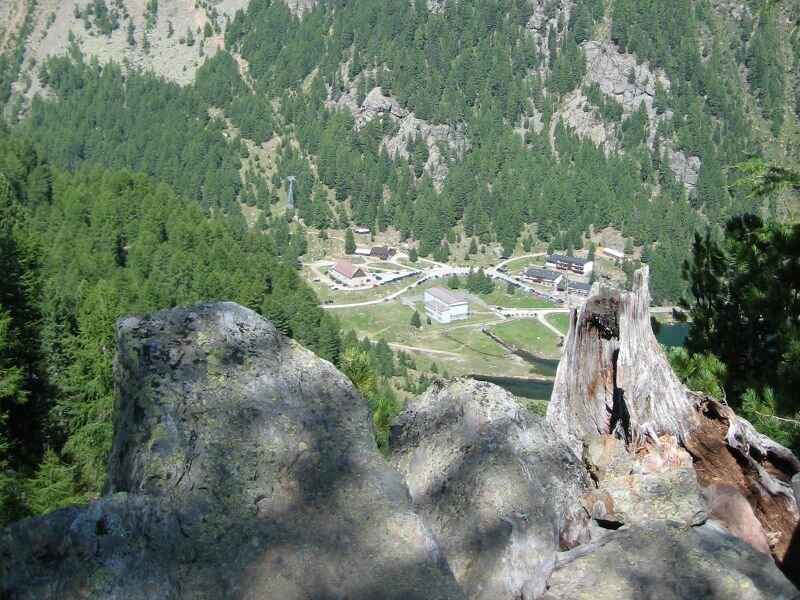
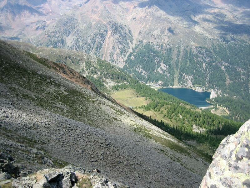
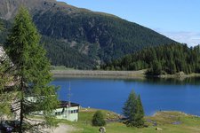
On a hot summer day we drive to Fontana Bianca (Weissbrunn) at 1,885 m a.s.l., located at 6 km from the village of Santa Geltrude in the rear Val d'Ultimo valley. The Lago di Fontana Bianca is located here, a reservoir where the Rio Valsura originates before flowing through the whole valley and into the Adige river at Lana. We start our hike to the Monte Chiodo at the (unguarded) parking space near the lake.
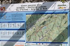
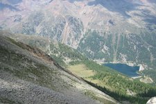
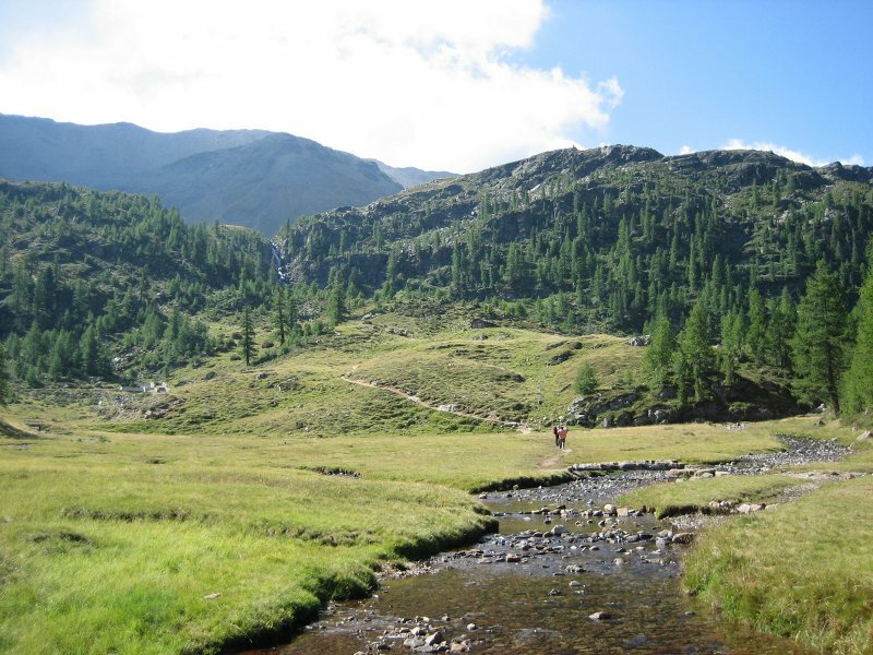
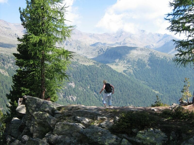
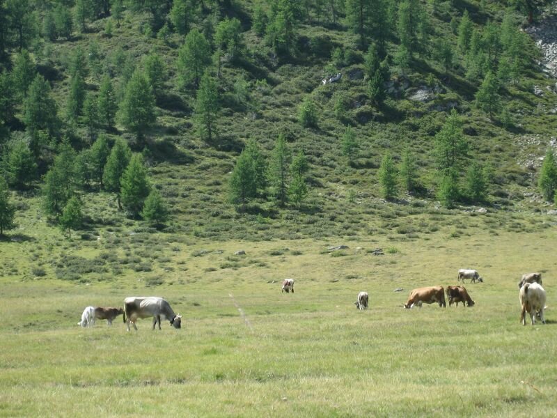
Following the lakeside we reach the signpost indicating the trail no. 101 to the Malga dei Pini mountain hut (Fiecht Alm) and the summit of Mount Chiodo (Nagelstein). After a 30-minute walk the mountain hut at 2,000 m a.s.l. comes in sight - it offers delicious local dishes. We decide to continue and stop on the way back. The path up to the summit snakes its way through mountain pastures with grazing cattle and meadows with countless Alpine roses.
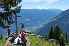
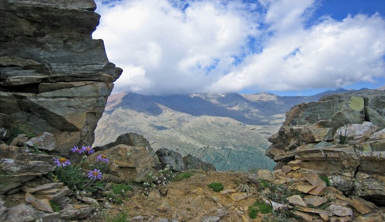
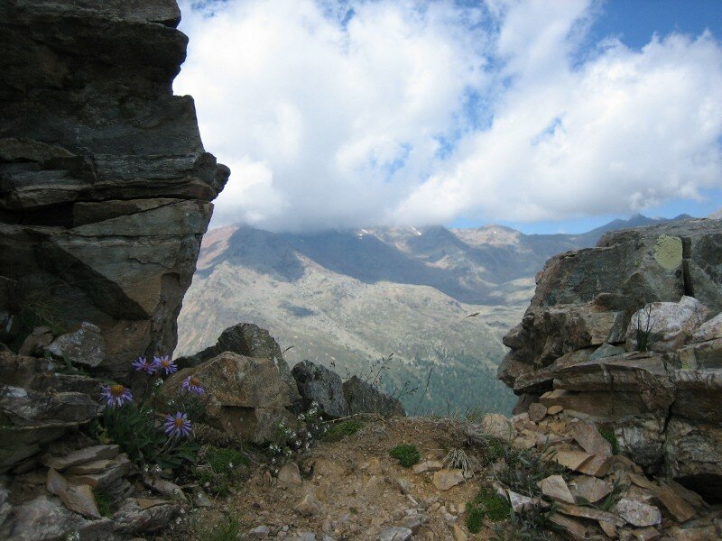
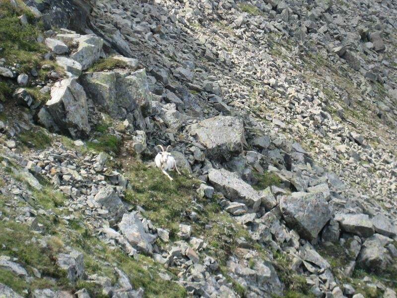
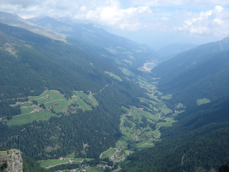
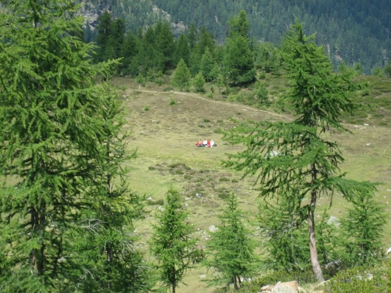
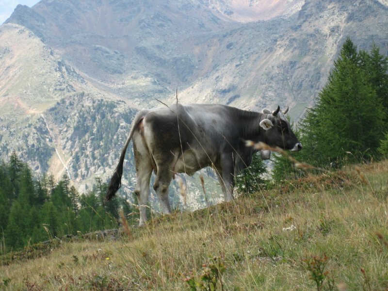
The path gets steeper - the last section takes us through a scree field. Goats graze beneath the rugged rock faces, and after 2 hours we enjoy the simply breathtaking view on the Val d'Ultimo valley. After arriving on the top, we put down our names in the summit guestbook and take a deep breath before we head down into the valley again. On a meadow with grazing cows beneath the summit we enjoy a picnic with South Tyrolean ham, brown bread and cheese. Yummy! Shortly afterwards we turn back to the Malga dei Pini mountain hut. The home-made dumplings, served with a Radler (beer with lemonade) are great. Finally we return to the Lago di Fontana Bianca, our starting point.
Please note: this mountain tour can be a day-long hike, including stops at the single huts as well as picnics and breaks on the meadows and mountain pastures.
Suitable for families? Only single sections, e.g. to the Malga dei Pini mountain hut, the last section up to the summit is a scree field - the path is too steep and dangerous for kids
Author: AT
Experienced: August 2005
Last update: 2026
-
- Starting point:
- parking space in Fontana Bianca, Val d'Ultimo valley
-
- Overall time:
- 03:00 h
-
- Total route length:
- 7,4 km
-
- Altitude:
- from 1.876 m to 2.462 m
-
- Altitude difference (uphill | downhill):
- +586 m | -586 m
-
- Route:
- to the summit of the Monte Chiodo (and back)
-
- Signposts:
- no. 101
-
- Resting points:
- Malga dei Pini / Fiechter Alm (from May to October inclusive)
-
- Recommended time of year:
- Jan Feb Mar Apr May Jun Jul Aug Sep Oct Nov Dec
-
- Download GPX track:
- Mountain tour to the Monte Chiodo
We highly recommend checking the weather and trail conditions in advance and on site before starting this tour.