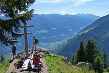
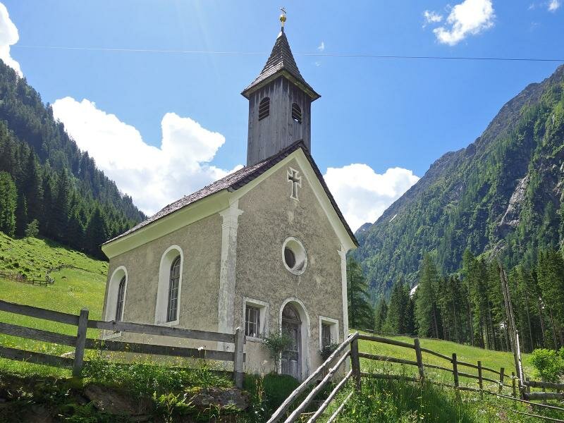
The St. Anna Chapel in Pfistrad, the alpine pasture with tavern and the small museum are the destination of this easy hike near San Leonardo in Passiria
Image gallery: Hike to the Pfistrad Alp
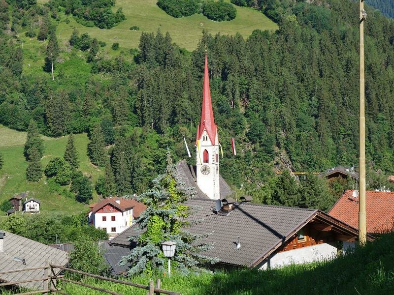
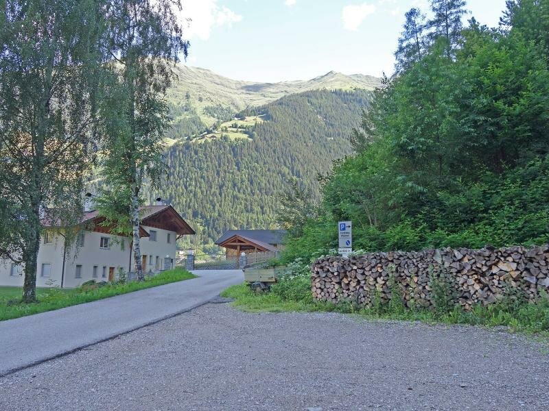
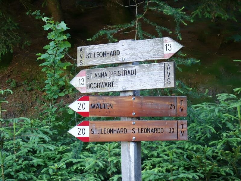
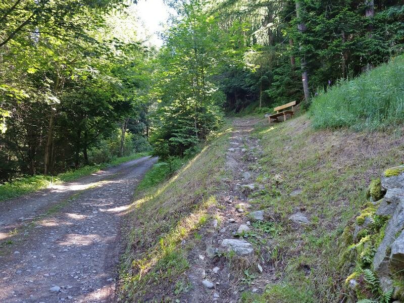

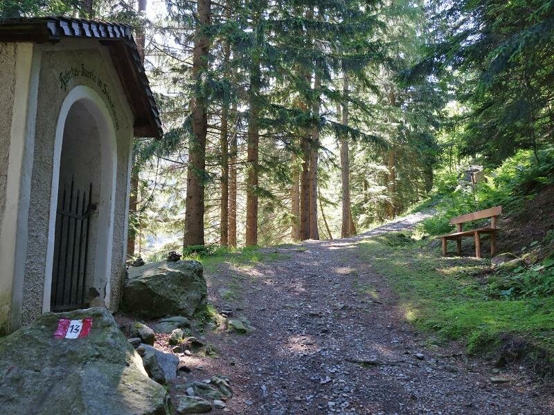
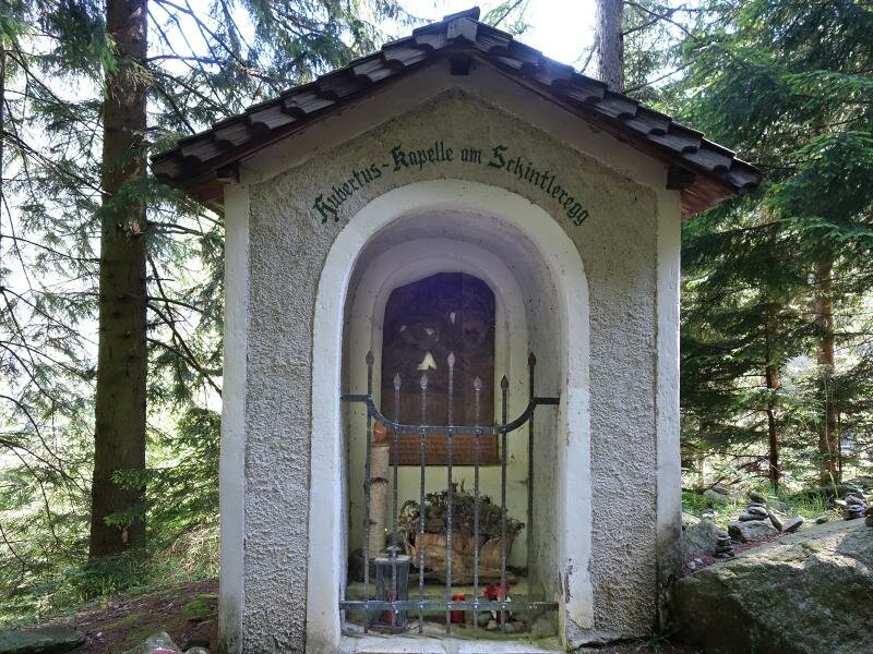
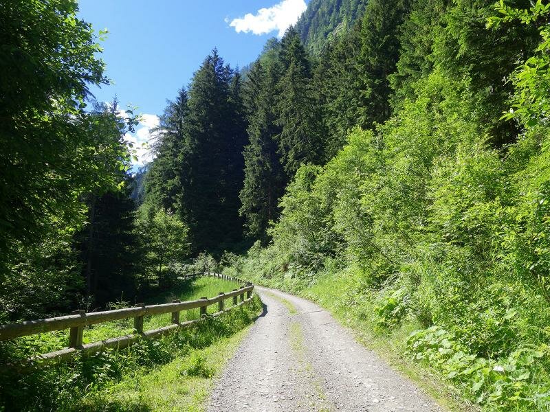
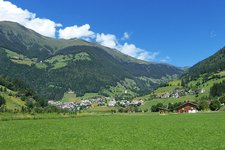
Starting point of our easy walking tour to the Pfistrad Alp in the Val Passiria valley is the village of San Leonardo. The Platzbergweg path leads from the village centre a little uphill, across the meadow slope to the edge of the forest. Here, just before the Schnitzerhof inn, there is a small car park on the right-hand side of the road. Here we start. For about 200 m we follow the asphalt road until we reach the junction with the hiking path no. 13 and the Pfistrad forest road. The first section you can either walk on the forest road or on the steeper but slightly shorter path no. 13. The latter proceeds past the Hubertus Chapel, a wayside shrine donated in 1710 and renovated several times by hunters. A little later both paths meet again and we follow the forest road to our destination.
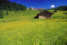
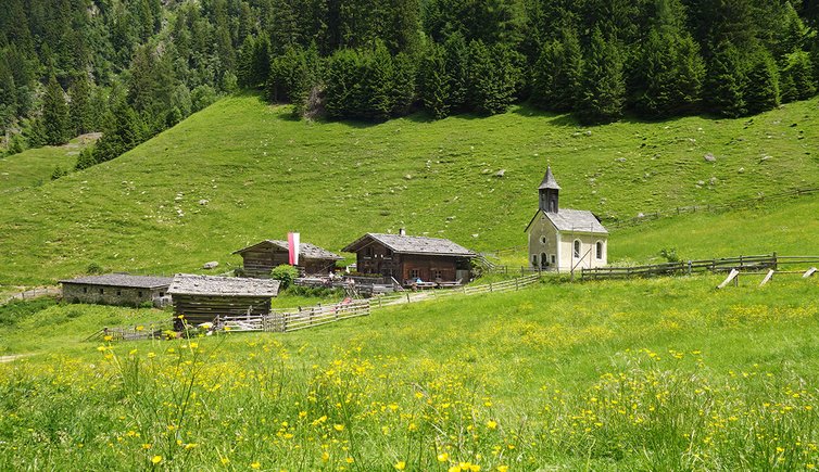
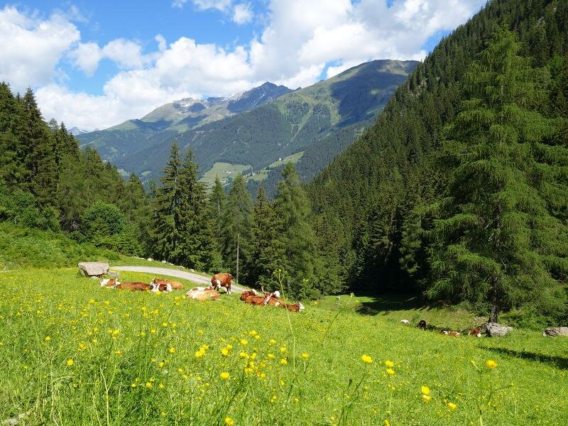
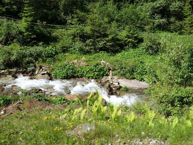
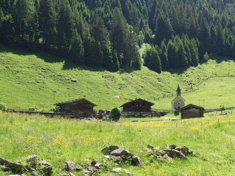
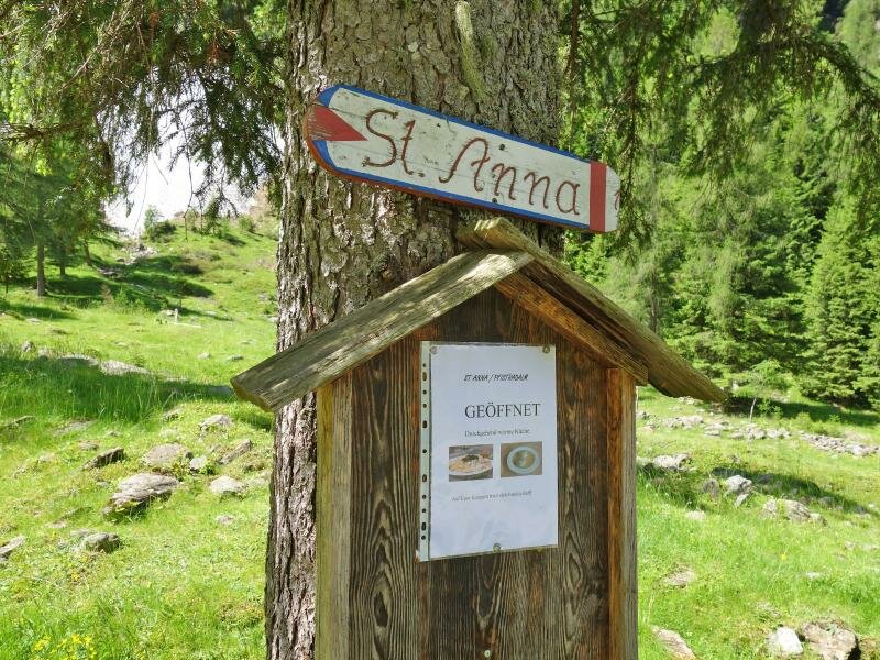
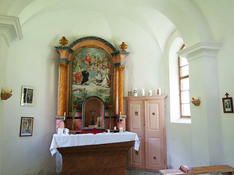
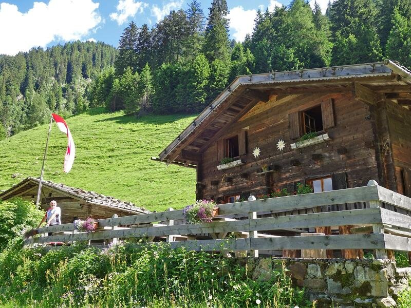
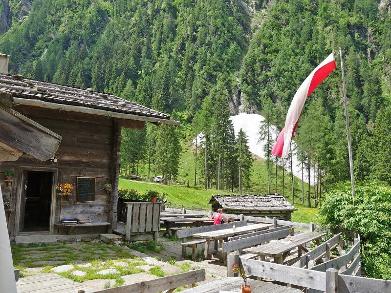
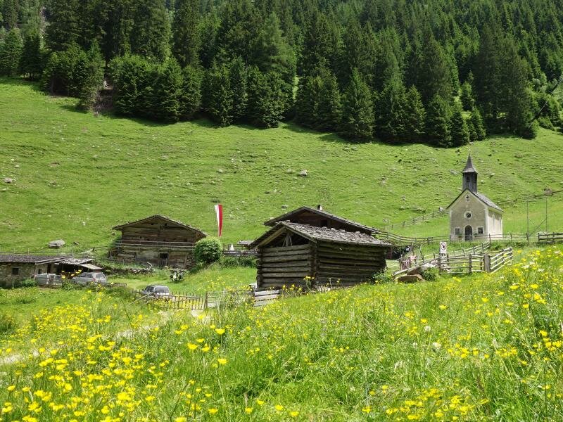
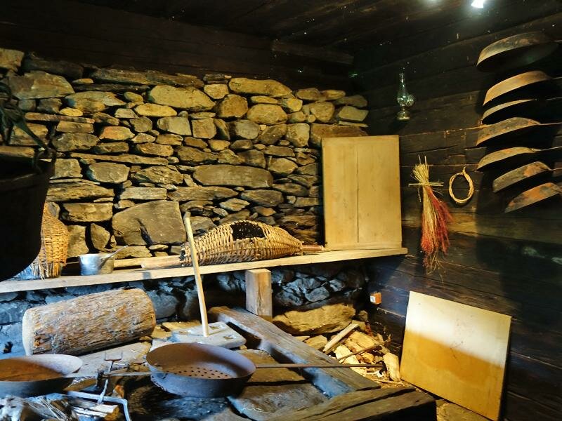
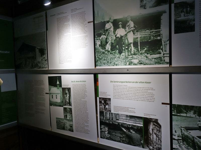
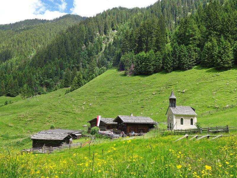
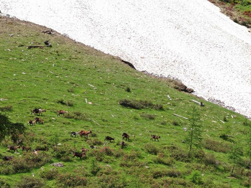
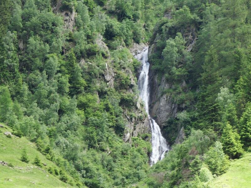
Slightly ascending the path leads us uphill through the Pfistradtal valley. The closer we get to the mountain pasture the more there are clearings where cows graze. At about 1,300 m a.s.l. almost the entire valley is covered with meadows and pastures. In the middle of this green landscape the small St. Anna Chapel is located and next to it an ensemble of wooden huts: the Pfistrad Alp. After a visit to the chapel we look forward to stopping at the tavern where South Tyrolean delicacies are served. Afterwards we take a look into the museum, the exhibition room in one of the huts preserves old tools and information boards about the interesting history of the alpine pasture and the valley. Not far from the tavern there is also a beautiful waterfall. For our way back we take the same route. The mountain hut is open from mid-May to mid-October.
Author: AT
-
- Starting point:
- San Leonardo in Passiria, parking at the Platzbergweg path
-
- Overall time:
- 02:20 h
-
- Total route length:
- 8,6 km
-
- Altitude:
- from 857 m to 1.354 m
-
- Altitude difference:
- +498 m | -498 m
-
- Route:
- Pfistrad Weg (hiking path or forest road)
-
- Signposts:
- Pfistrad Alm, St. Anna, no. 13
-
- Destination:
- S. Anna / Pfistrad Alm
-
- Resting points:
- Pfistrad Alm
-
- Recommended time of year:
- Jan Feb Mar Apr May Jun Jul Aug Sep Oct Nov Dec
-
- Download GPX track:
- Hike to the Pfistrad Alp
If you want to do this hike, we suggest you to check the weather and trail conditions in advance and on site before setting out.