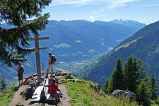
A scenic hike on the Montescena, from the Taser Family Alm to the rustic Gsteier guesthouse
Image gallery: Hike along the Taser High Route

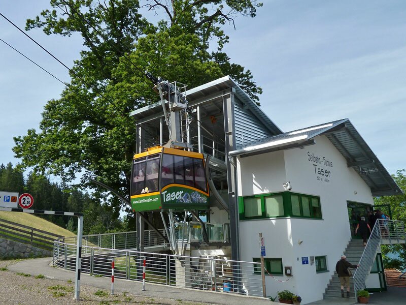
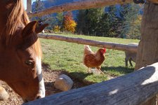
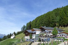
Between Scena (Schenna) and Verdins, the Taser cable car ascends to a lofty 1,450 metres above sea level. Our hike begins there, at the Taser Alm. The alpine village itself, which forms the centre of the Montescena (Schennaberg) hamlet, is set amidst meadows. It specialises mainly in families with children and provides several attractions.
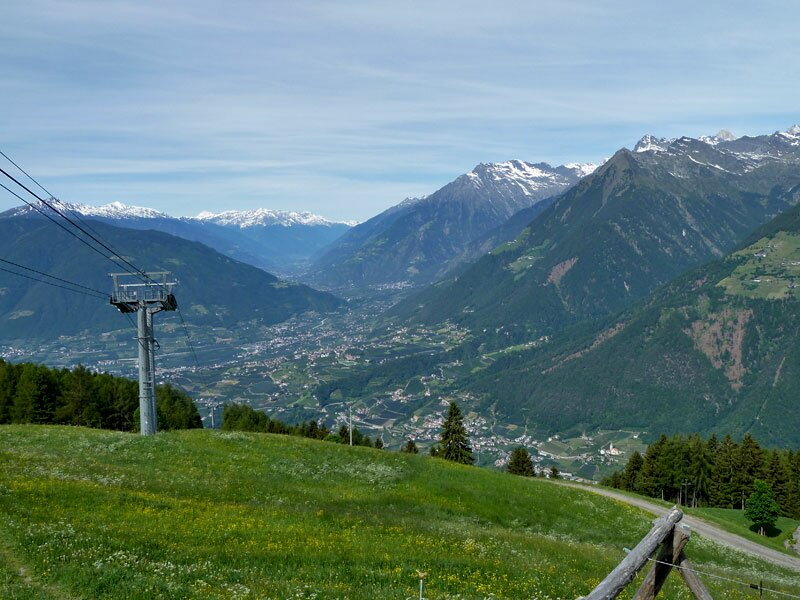
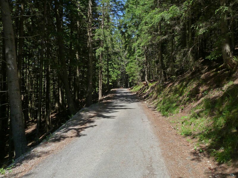
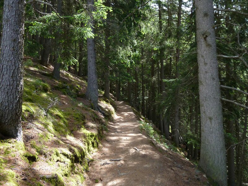
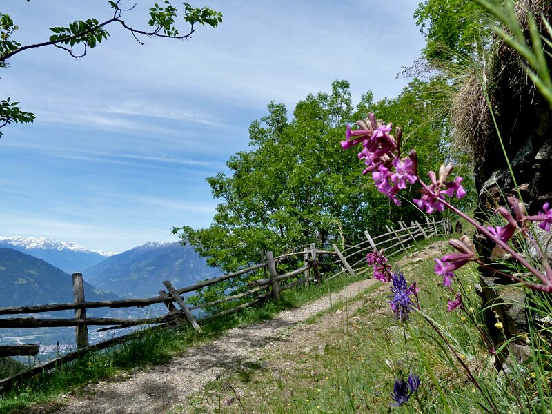
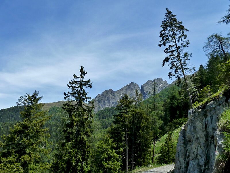
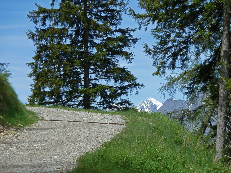
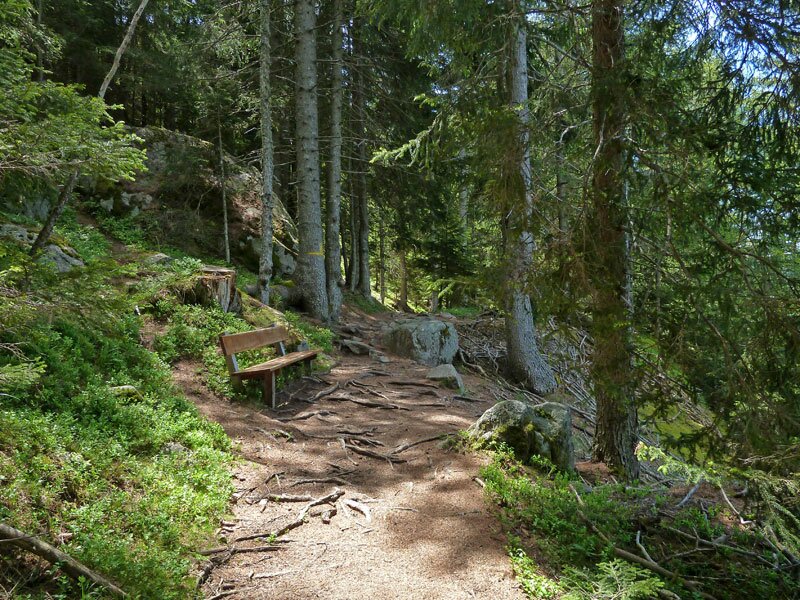
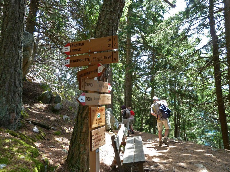
The Taser High-Altitude Trail connects Videgg and Talle (Tall) in the Hirzer area with Falzeben in Avelengo (Hafling). Today, we have chosen the section that leads south to the Gsteier guesthouse. Starting from the top station of the Taser cable car, we soon reach a short, tarmacked section of the path that takes us to the Greitererhof. From there, it continues through the coniferous forest.
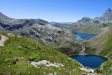
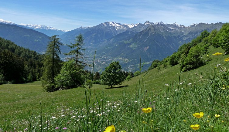
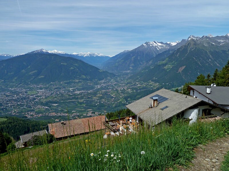
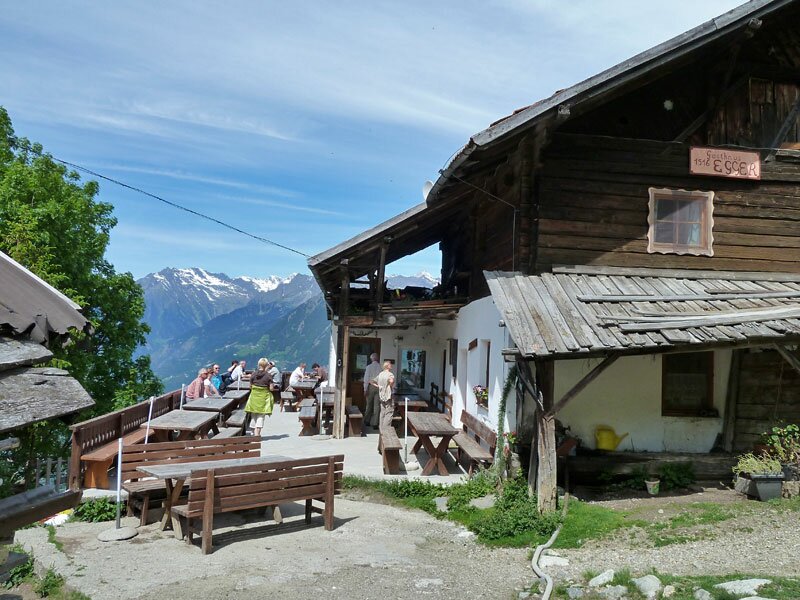
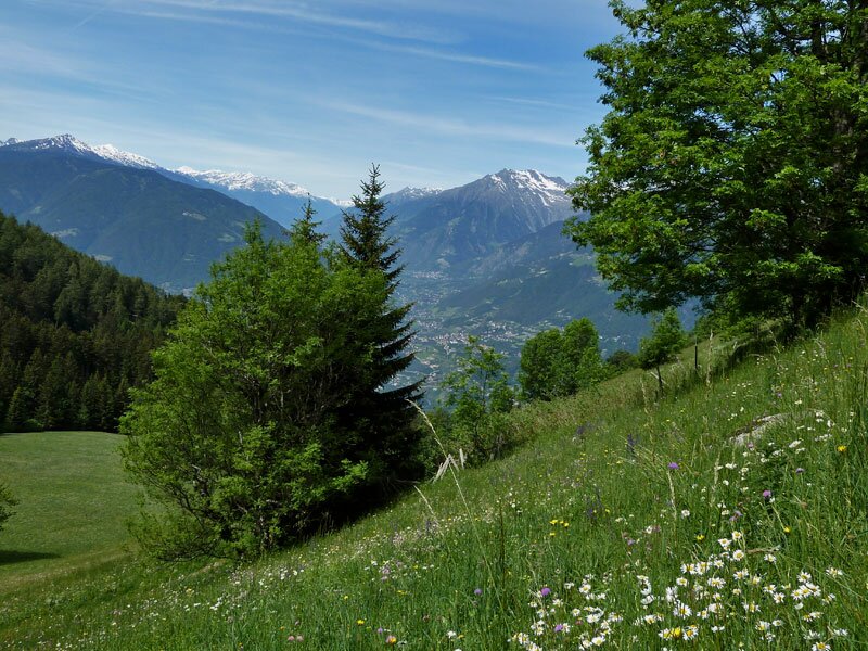
The path is pleasant and mostly level until the next junction. Small streams in the valleys and lovely wildflower meadows, like the one after the Egger guesthouse, are the highlights of this hiking route, along with the view over the Merano area.
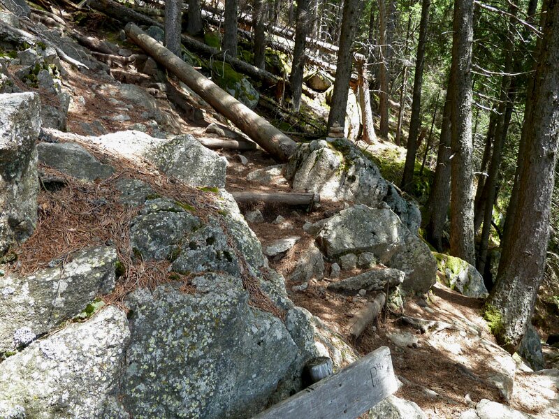
After about 4 km, we reach the junction with path no. 24. From this point on, the path's character changes completely: it becomes a narrow, sometimes exposed trail that also leads steeply down to the Gsteier guesthouse. Some sections are secured with ropes and chains. Sure-footedness is essential for this section. We advise families with children who are not used to this type of terrain against attempting this part of the trail, as well as anyone who is not confident on steep, uneven paths.
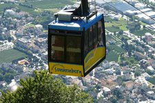
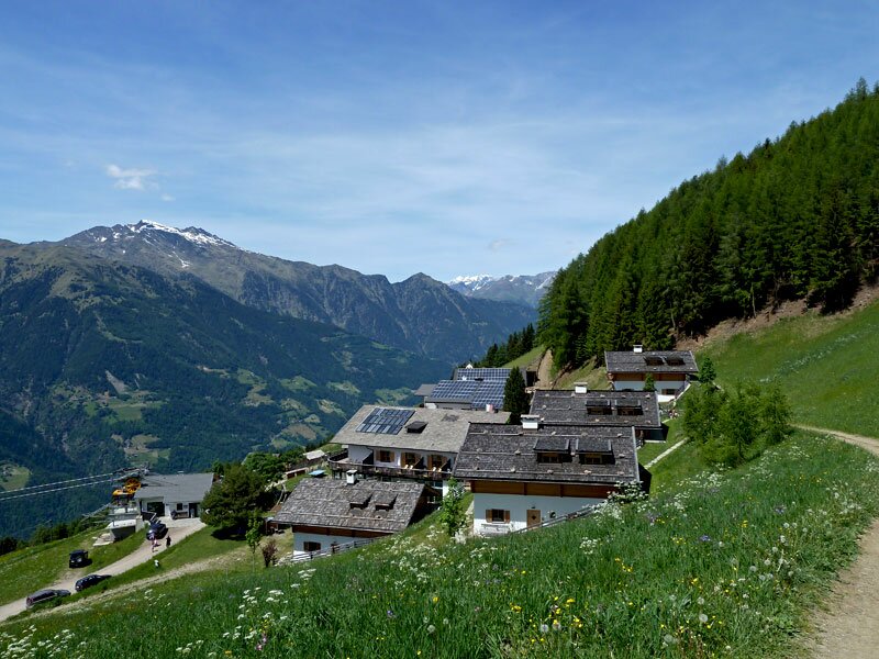
Once at the Gsteier guesthouse, there are two options: either return to the starting point along the same (as we did), or descend for about 15 minutes to the middle station of the Ifinger cable car (Merano 2000). With this option, the actual walking time for the tour is reduced from 3h 50m to approx. 2h 20m. From here, it is possible to glide comfortably down to the valley by cable car and then take the bus back to Merano (Meran).
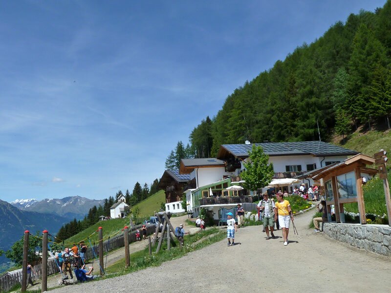
Furthermore, there is plenty to discover at the Gsteirer itself: a small chapel dedicated to St John of Nepomuk (the patron saint against danger from water), the working 1946 mill, and the freely accessible farming museum in the old barn with its historic equipment.
Please note: The Gasthof Gsteier is expected to be closed until April 2026. It will therefore not be possible to stop for refreshments. However, the chapel, the mill and the farming museum at the farm can still be visited.
Author: AT
-
- Starting point:
- Montescena, Taser Alpine Hut (mountain station of the Taser Cable Car)
-
- Overall time:
- 03:50 h
-
- Total route length:
- 11,7 km
-
- Altitude:
- from 1.372 m to 1.559 m
-
- Altitude difference:
- +605 m | -605 m
-
- Route:
- Taser Alpine Hut - Greitererhof - Egger tavern - Gsteier Blick
-
- Signposts:
- 40, Taser Höhenweg
-
- Destination:
- Gsteier Blick (panorama point)
-
- Resting points:
- Greitererhof. Gasthof Egger, Gasthof Gsteier (from April 2026)
-
- Recommended time of year:
- Jan Feb Mar Apr May Jun Jul Aug Sep Oct Nov Dec
-
- Download GPX track:
- Hike along the Taser High Route
If you want to do this hike, we suggest you to check the weather and trail conditions in advance and on site before setting out.